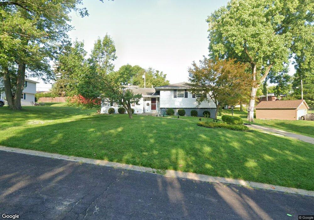
3809 N Saint Michael Ave Peoria, IL 61615
North Peoria NeighborhoodEstimated Value: $176,000 - $187,000
5
Beds
3
Baths
1,600
Sq Ft
$115/Sq Ft
Est. Value
About This Home
This home is located at 3809 N Saint Michael Ave, Peoria, IL 61615 and is currently estimated at $183,765, approximately $114 per square foot. 3809 N Saint Michael Ave is a home located in Peoria County with nearby schools including Dr Maude A Sanders Primary School, Sterling Middle School, and Peoria High School.
Ownership History
Date
Name
Owned For
Owner Type
Purchase Details
Closed on
Jun 23, 2017
Sold by
Harper Angela D
Bought by
Annette Timothy
Current Estimated Value
Home Financials for this Owner
Home Financials are based on the most recent Mortgage that was taken out on this home.
Original Mortgage
$129,010
Outstanding Balance
$107,397
Interest Rate
4.05%
Mortgage Type
New Conventional
Estimated Equity
$76,368
Purchase Details
Closed on
Oct 16, 2013
Bought by
John C Proctor Endowment
Create a Home Valuation Report for This Property
The Home Valuation Report is an in-depth analysis detailing your home's value as well as a comparison with similar homes in the area
Home Values in the Area
Average Home Value in this Area
Purchase History
| Date | Buyer | Sale Price | Title Company |
|---|---|---|---|
| Annette Timothy | $133,000 | Attorney Only | |
| John C Proctor Endowment | $110,000 | -- |
Source: Public Records
Mortgage History
| Date | Status | Borrower | Loan Amount |
|---|---|---|---|
| Open | Annette Timothy | $129,010 |
Source: Public Records
Tax History Compared to Growth
Tax History
| Year | Tax Paid | Tax Assessment Tax Assessment Total Assessment is a certain percentage of the fair market value that is determined by local assessors to be the total taxable value of land and additions on the property. | Land | Improvement |
|---|---|---|---|---|
| 2024 | $3,741 | $47,360 | $5,970 | $41,390 |
| 2023 | $3,524 | $43,450 | $5,480 | $37,970 |
| 2022 | $3,379 | $41,030 | $5,210 | $35,820 |
| 2021 | $3,288 | $39,070 | $4,960 | $34,110 |
| 2020 | $3,275 | $38,680 | $4,910 | $33,770 |
| 2019 | $3,334 | $39,470 | $5,010 | $34,460 |
| 2018 | $3,016 | $36,970 | $5,060 | $31,910 |
| 2017 | $3,021 | $37,340 | $5,110 | $32,230 |
| 2016 | $2,926 | $37,340 | $5,110 | $32,230 |
| 2015 | $3,280 | $36,610 | $5,010 | $31,600 |
| 2014 | $2,279 | $35,630 | $4,980 | $30,650 |
| 2013 | -- | $36,060 | $5,040 | $31,020 |
Source: Public Records
Map
Nearby Homes
- 3720 N Saint Michael Ave
- 4011 N Sterling Ave
- 3623 N Sterling Ave Unit b-17
- 3423 N El Vista Ave
- 2705 W Millbrook Ct
- 2011 W Richwoods Blvd
- 2036 W Richwoods Blvd
- 2221 W Tripp Ave
- 3808 N Walround Ln
- 2318 W Albany Ave
- 2315 W Hudson St
- 2029 W Forrest Hill Ave
- 2910 W Westport Rd
- 4212 N Keenland Ave
- 2922 W Larchmont Ln
- 1413 W Aire Ave
- 3010 W Brookside Dr
- 4426 N Wilco Dr
- 3114 N Elmcroft Terrace
- 4023 N University St
- 3809 St Michael Ave
- 3801 St Michael
- 3801 N Saint Michael Ave
- 3801 N Street Michael Ave
- 3815 N Saint Michael Ave
- 3800 N Donna Ln
- 3815 N St Michael Ave
- 3806 N Donna Ln Unit 2
- 3806 N Donna Ln Unit A. Downstairs
- 3810 N Donna Ln
- 3724 N Donna Ln
- 3723 N St Michael
- 3723 N Saint Michael Ave
- 3804 St Michael
- 3804 N Saint Michael Ave
- 3814 N Donna Ln
- 3823 N Saint Michael Ave
- 3812 N Saint Michael Ave
- 3728 N Street Michael Ave
- 3823 N St Michael