3809 S Michael Rd Unit Bldg-Unit Ann Arbor, MI 48103
Estimated Value: $1,098,000 - $1,217,000
--
Bed
3
Baths
4,345
Sq Ft
$267/Sq Ft
Est. Value
About This Home
This home is located at 3809 S Michael Rd Unit Bldg-Unit, Ann Arbor, MI 48103 and is currently estimated at $1,158,800, approximately $266 per square foot. 3809 S Michael Rd Unit Bldg-Unit is a home located in Washtenaw County with nearby schools including Lakewood Elementary School, Slauson Middle School, and Pioneer High School.
Ownership History
Date
Name
Owned For
Owner Type
Purchase Details
Closed on
Jan 8, 2021
Sold by
Pullen Kyle and Pullen Regina
Bought by
Pullen Kyle and Pullen Regina
Current Estimated Value
Purchase Details
Closed on
Feb 14, 2018
Sold by
Ressler Robert C and Ressler Susan L
Bought by
Pullen Kyle T and Pullen Regina M
Home Financials for this Owner
Home Financials are based on the most recent Mortgage that was taken out on this home.
Original Mortgage
$415,000
Outstanding Balance
$235,992
Interest Rate
3.99%
Mortgage Type
New Conventional
Estimated Equity
$922,808
Create a Home Valuation Report for This Property
The Home Valuation Report is an in-depth analysis detailing your home's value as well as a comparison with similar homes in the area
Home Values in the Area
Average Home Value in this Area
Purchase History
| Date | Buyer | Sale Price | Title Company |
|---|---|---|---|
| Pullen Kyle | -- | None Available | |
| Pullen Kyle T | $615,000 | Liberty Title |
Source: Public Records
Mortgage History
| Date | Status | Borrower | Loan Amount |
|---|---|---|---|
| Open | Pullen Kyle T | $415,000 |
Source: Public Records
Tax History Compared to Growth
Tax History
| Year | Tax Paid | Tax Assessment Tax Assessment Total Assessment is a certain percentage of the fair market value that is determined by local assessors to be the total taxable value of land and additions on the property. | Land | Improvement |
|---|---|---|---|---|
| 2025 | -- | $498,000 | $0 | $0 |
| 2024 | $9,394 | $456,200 | $0 | $0 |
| 2023 | $9,026 | $417,300 | $0 | $0 |
| 2022 | $12,485 | $389,300 | $0 | $0 |
| 2021 | $11,875 | $384,900 | $0 | $0 |
| 2020 | $12,149 | $331,800 | $0 | $0 |
| 2019 | $11,202 | $311,200 | $311,200 | $0 |
| 2018 | $9,848 | $310,800 | $0 | $0 |
| 2017 | $9,691 | $328,800 | $0 | $0 |
| 2016 | $6,767 | $266,084 | $0 | $0 |
| 2015 | -- | $265,289 | $0 | $0 |
| 2014 | -- | $257,000 | $0 | $0 |
| 2013 | -- | $257,000 | $0 | $0 |
Source: Public Records
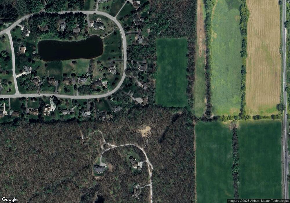
Map
Nearby Homes
- 1255 Joyce Ln Unit 1
- 1419 N Bay Dr Unit 73
- 1366 N Bay Dr Unit 144
- 1343 Timmins Dr Unit 8
- 1860 Chicory Ridge
- #24 Loon Ln
- #53 Loon Ln
- The Champlain Plan at Cranbrook of Scio
- The Vallecito Plan at Cranbrook of Scio
- The Palisade Plan at Cranbrook of Scio
- The Marion Plan at Cranbrook of Scio
- The Granada Plan at Cranbrook of Scio
- The Lucerne Plan at Cranbrook of Scio
- 4229 Loon Ln
- 4257 Loon Ln
- 4261 Loon Ln
- 601 Grosbeak Dr Unit 1
- 1929 Harley Dr
- 4224 Duck Dr Unit 5
- 4236 Duck Dr
- 3809 S Michael Rd
- 3781 S Michael Rd
- 3837 S Michael Rd
- 3865 S Michael Rd
- 3753 S Michael Rd
- 3848 S Michael Rd
- 3764 S Michael Rd
- 3893 S Michael Rd
- 3882 S Michael Rd
- 3835 Hawk Crest Rd
- 3756 N Michael Rd
- 3872 Hawk Crest Rd
- 3921 S Michael Rd
- 3916 S Michael Rd
- 3784 N Michael Rd
- 3877 N Michael Rd
- 3950 S Michael Rd
- 3949 S Michael Rd
- 3819 Hawk Crest Rd
- 3905 N Michael Rd