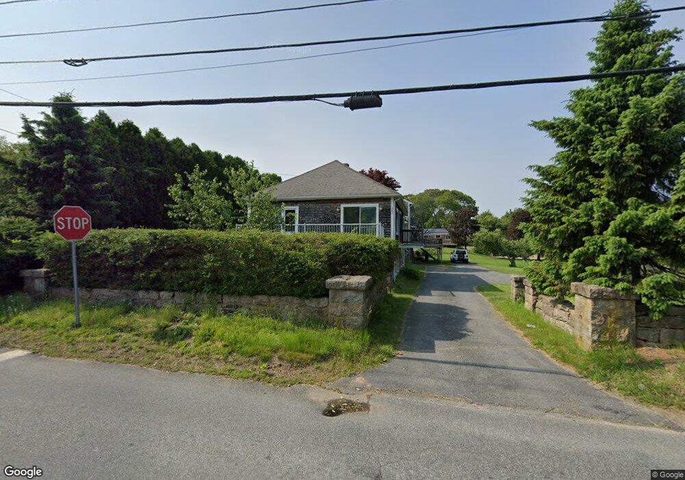
381 Allen Ave Wakefield, RI 02879
South Kingstown AreaEstimated Value: $759,000 - $900,000
About This Home
This home is located at 381 Allen Ave, Wakefield, RI 02879 and is currently estimated at $850,089. 381 Allen Ave is a home with nearby schools including South Kingstown High School, Monsignor Matthew Clarke Catholic Regional School, and South Shore School.
Ownership History
We collect this data history from publicly available records. To have your information removed, we recommend requesting removal directly through your county’s website.
Purchase Details
Home Values in the Area
Average Home Value in this Area
Purchase History
We collect this data history from publicly available records. To have your information removed, we recommend requesting removal directly through your county’s website.
| Date | Buyer | Sale Price | Title Company |
|---|---|---|---|
| -- | -- |
Mortgage History
We collect this data history from publicly available records. To have your information removed, we recommend requesting removal directly through your county’s website.
| Date | Status | Borrower | Loan Amount |
|---|---|---|---|
| Closed | $150,000 |
Tax History
We collect this data history from publicly available records. To have your information removed, we recommend requesting removal directly through your county’s website.
| Year | Tax Paid | Tax Assessment Tax Assessment Total Assessment is a certain percentage of the fair market value that is determined by local assessors to be the total taxable value of land and additions on the property. | Land | Improvement |
|---|---|---|---|---|
| 2025 | $6,282 | $702,700 | $220,400 | $482,300 |
| 2024 | $6,198 | $560,900 | $170,300 | $390,600 |
| 2023 | $6,198 | $560,900 | $170,300 | $390,600 |
| 2022 | $6,142 | $560,900 | $170,300 | $390,600 |
| 2021 | $6,143 | $425,100 | $148,500 | $276,600 |
| 2020 | $6,143 | $425,100 | $148,500 | $276,600 |
| 2019 | $6,143 | $425,100 | $148,500 | $276,600 |
| 2018 | $5,784 | $368,900 | $138,300 | $230,600 |
| 2017 | $5,648 | $368,900 | $138,300 | $230,600 |
| 2016 | $5,567 | $368,900 | $138,300 | $230,600 |
| 2015 | $5,361 | $345,400 | $135,400 | $210,000 |
| 2014 | $5,347 | $345,400 | $135,400 | $210,000 |
Map
- 0 Allen Ave
- 260 Sweet Allen Farm Rd Unit 6
- 260 Sweet Allen Farm Rd Unit 3
- 272 Pine Hill Rd
- 30 Acorn Ct Unit G6
- 8 Acorn Ct Unit 2
- 86 Peaked Rock Rd
- 104 Peaked Rock Rd
- 28 Karee Ct
- 102 Woodbine Rd
- 23 Rockland Dr
- 47 Gentian Dr
- 30 Noel Ct
- 25 Dinonsie Way
- 223 Rodman St
- 18 Austin St
- 35 N Woods Trail
- 230 Curtis Corner Rd
- 15 Dawsons Cir
- 54 N Woods Trail
- 401 Allen Ave
- 22 Weathervane Rd
- 367 Allen Ave
- 271 Briarwood Dr
- 260 Briarwood Dr
- 378 Allen Ave
- 425 Allen Ave
- 360 Allens Ave
- 46 Weathervane Rd
- 261 Briarwood Dr
- 362 Allen Ave
- 347 Allen Ave
- 360B Allen Ave
- 54 Weathervane Rd
- 414 Allen Ave
- 244 Briarwood Dr
- 360 Allen Ave
- 354 Allen Ave
- 249 Briarwood Dr
- 62 Weathervane Rd
Ask me questions while you tour the home.