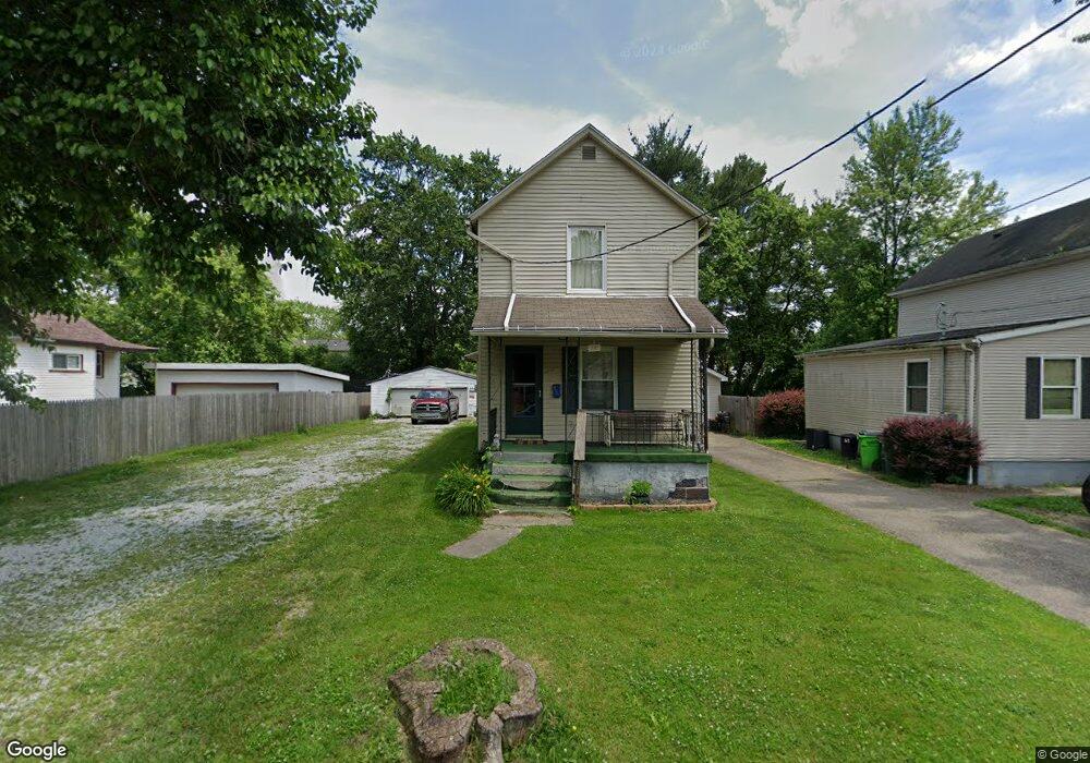
381 Bell St Barberton, OH 44203
East Barberton NeighborhoodEstimated Value: $94,000 - $116,000
2
Beds
1
Bath
1,136
Sq Ft
$94/Sq Ft
Est. Value
About This Home
This home is located at 381 Bell St, Barberton, OH 44203 and is currently estimated at $106,324, approximately $93 per square foot. 381 Bell St is a home located in Summit County with nearby schools including Barberton Middle School, Barberton High School, and St. Francis de Sales School.
Ownership History
Date
Name
Owned For
Owner Type
Purchase Details
Closed on
Feb 22, 2020
Sold by
Kipter Brandon and Kipter Stacy
Bought by
Kipter Rental Properties Llc
Current Estimated Value
Purchase Details
Closed on
Dec 21, 2010
Sold by
Fannie Mae
Bought by
Kipfer Brandon
Purchase Details
Closed on
Nov 10, 2010
Sold by
Morgan Dennis and Dorsey Donald R
Bought by
Federal National Mortgage Association
Purchase Details
Closed on
Sep 13, 2006
Sold by
Bell Thelma and Bell Thelma M
Bought by
Dorsey Donald R and Morgan Dennis
Home Financials for this Owner
Home Financials are based on the most recent Mortgage that was taken out on this home.
Original Mortgage
$28,000
Interest Rate
6.7%
Mortgage Type
Purchase Money Mortgage
Create a Home Valuation Report for This Property
The Home Valuation Report is an in-depth analysis detailing your home's value as well as a comparison with similar homes in the area
Home Values in the Area
Average Home Value in this Area
Purchase History
| Date | Buyer | Sale Price | Title Company |
|---|---|---|---|
| Kipter Rental Properties Llc | -- | None Available | |
| Kipfer Brandon | $16,500 | Nova Title Agency Inc | |
| Federal National Mortgage Association | $42,000 | Attorney | |
| Dorsey Donald R | $22,450 | First Security Title Corp |
Source: Public Records
Mortgage History
| Date | Status | Borrower | Loan Amount |
|---|---|---|---|
| Previous Owner | Dorsey Donald R | $28,000 |
Source: Public Records
Tax History Compared to Growth
Tax History
| Year | Tax Paid | Tax Assessment Tax Assessment Total Assessment is a certain percentage of the fair market value that is determined by local assessors to be the total taxable value of land and additions on the property. | Land | Improvement |
|---|---|---|---|---|
| 2025 | $1,362 | $26,523 | $7,357 | $19,166 |
| 2024 | $1,362 | $26,523 | $7,357 | $19,166 |
| 2023 | $1,362 | $26,523 | $7,357 | $19,166 |
| 2022 | $1,141 | $19,268 | $5,110 | $14,158 |
| 2021 | $1,139 | $19,268 | $5,110 | $14,158 |
| 2020 | $1,116 | $19,270 | $5,110 | $14,160 |
| 2019 | $1,152 | $18,030 | $4,600 | $13,430 |
| 2018 | $1,135 | $18,030 | $4,600 | $13,430 |
| 2017 | $1,076 | $18,030 | $4,600 | $13,430 |
| 2016 | $1,078 | $16,860 | $4,600 | $12,260 |
| 2015 | $1,076 | $16,860 | $4,600 | $12,260 |
| 2014 | $1,070 | $16,860 | $4,600 | $12,260 |
| 2013 | $1,089 | $16,970 | $4,600 | $12,370 |
Source: Public Records
Map
Nearby Homes
- 43 S Van Buren Ave
- 25 S Van Buren Ave
- 64 Diamond Ave
- 311 Holly Place
- 251 Slate Ridge Dr
- 327 Robinson Ave
- 588 Austin Dr
- 369 Big Bend Cir
- 375 Big Bend Cir
- 6 5th St NE
- 477 Robinson Ave
- 414 E Baird Ave
- 1110 Mansion Dr
- 357 E Paige Ave
- 673 Wooster Rd W
- 679 Wooster Rd W
- 1742 Turkeyfoot Lake Rd
- 986 S Azalea Blvd
- 650 E Tuscarawas Ave
- 349 E Hopocan Ave