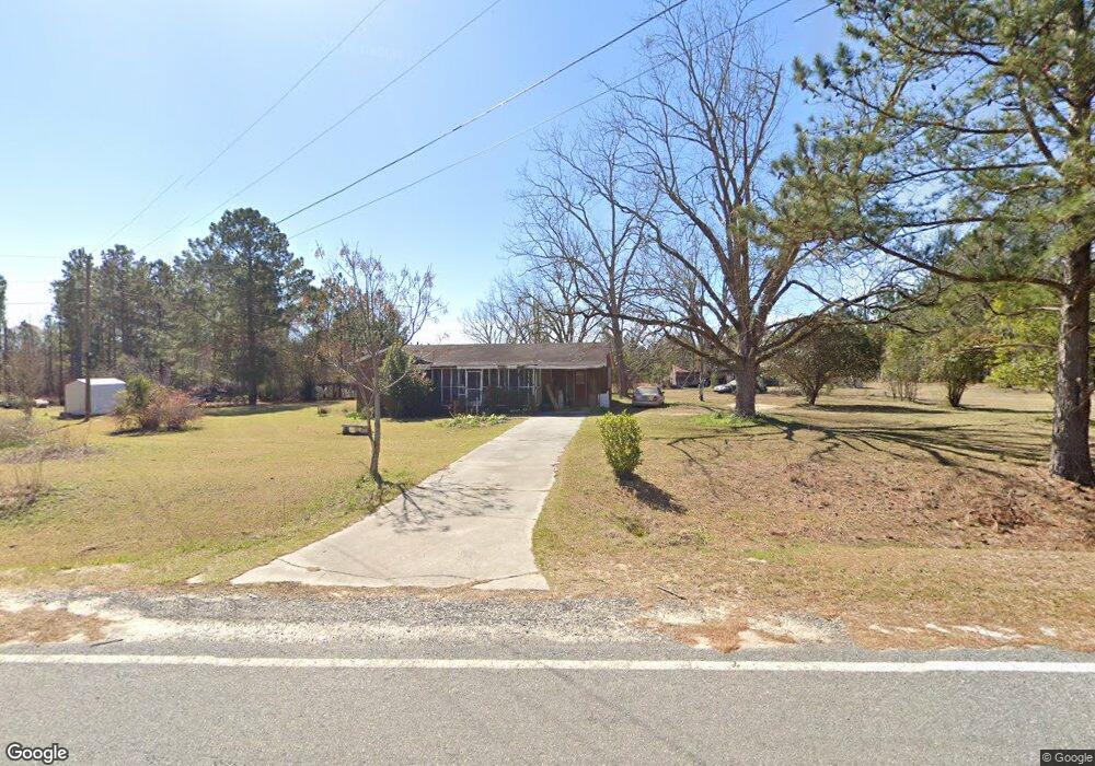
381 Carter Cemetery Rd Wrightsville, GA 31096
Estimated Value: $64,427 - $126,000
--
Bed
--
Bath
1,167
Sq Ft
$75/Sq Ft
Est. Value
About This Home
This home is located at 381 Carter Cemetery Rd, Wrightsville, GA 31096 and is currently estimated at $87,857, approximately $75 per square foot. 381 Carter Cemetery Rd is a home with nearby schools including Johnson County Elementary School, Johnson County Middle School, and Johnson County High School.
Ownership History
Date
Name
Owned For
Owner Type
Purchase Details
Closed on
Nov 5, 2025
Sold by
Turner Bessie Lanier
Bought by
Lanier Smith Marian A and Turner Bessie Lanier
Current Estimated Value
Purchase Details
Closed on
Jan 6, 2010
Sold by
Beacham Ivalene
Bought by
Turner Bessie Lanier
Purchase Details
Closed on
Aug 13, 1976
Sold by
Exchange Bank Of Wrightsville
Bought by
Beacham Ivalene
Create a Home Valuation Report for This Property
The Home Valuation Report is an in-depth analysis detailing your home's value as well as a comparison with similar homes in the area
Home Values in the Area
Average Home Value in this Area
Purchase History
| Date | Buyer | Sale Price | Title Company |
|---|---|---|---|
| Lanier Smith Marian A | -- | -- | |
| Turner Bessie Lanier | -- | -- | |
| Lanier Keith | -- | -- | |
| Beacham Ivalene | -- | -- |
Source: Public Records
Tax History Compared to Growth
Tax History
| Year | Tax Paid | Tax Assessment Tax Assessment Total Assessment is a certain percentage of the fair market value that is determined by local assessors to be the total taxable value of land and additions on the property. | Land | Improvement |
|---|---|---|---|---|
| 2024 | $497 | $15,776 | $1,304 | $14,472 |
| 2023 | $497 | $15,776 | $1,304 | $14,472 |
| 2022 | $458 | $15,776 | $1,304 | $14,472 |
| 2021 | $393 | $13,386 | $1,304 | $12,082 |
| 2020 | $405 | $13,386 | $1,304 | $12,082 |
| 2019 | $415 | $13,386 | $1,304 | $12,082 |
| 2018 | $393 | $13,386 | $1,304 | $12,082 |
| 2017 | $424 | $13,386 | $1,304 | $12,082 |
| 2016 | $393 | $13,386 | $1,304 | $12,082 |
| 2015 | -- | $18,371 | $1,304 | $17,067 |
| 2014 | -- | $18,371 | $1,304 | $17,067 |
| 2013 | -- | $18,371 | $1,304 | $17,067 |
Source: Public Records
Map
Nearby Homes
- 467 Alton Stewart Rd
- 0 Alton Stewart Rd Unit 10628094
- 0 Stone Church Rd Unit 10636232
- 0 Stone Church Rd Unit 25420128
- 0 Stone Church Rd Unit 25261642
- 527 Irish Lake Cir
- 529 Irish Lake Cir
- 1739 Snellbridge Rd
- 177 Lovett Scott Rd
- 117 Lovett Scott Rd
- 0 Liberty Grove Church Rd Unit 10640718
- 84 J D Garnto Rd
- 1354 Lakeway Rd
- 7728 Georgia 15
- 92 Paul Lord Rd
- 0 Red Hill Cemetery Rd Unit 30103
- 0 Red Hill Cemetery Rd Unit 10564131
- 6.98 ACRES Brewton Lovett Rd
- 3.5 ACRES Brewton Lovett Rd
- 9.56 ACRES Brewton Lovett Rd
- 408 Carter Cemetery Rd
- 313 Carter Cemetery Rd
- 452 Carter Cemetery Rd
- 185 Carter Cemetery Rd
- 185 Carter Cemetery Rd
- 185 Carter Cemetery Rd
- 185 Carter Cemetery Rd
- 185 Carter Cemetery Rd
- 185 Carter Cemetery Rd
- 205 Carter Cemetery Rd
- 168 Carter Cemetery Rd
- 139 Carter Cemetery Rd
- 35 Wesley Cir
- 283 Union Grove Church Rd
- 159 Union Grove Church Rd
- 381 Wesley Cir
- 588 Union Grove Church Rd
- 616 Union Grove Church Rd
- 692 Union Grove Church Rd
- 307 Alton Stewart Rd