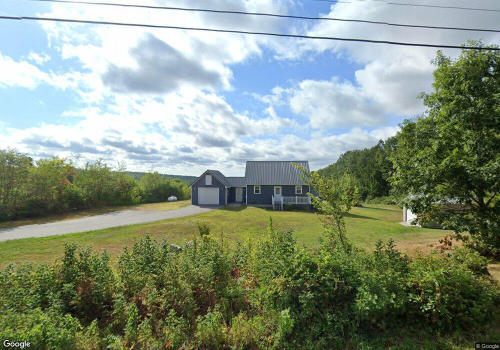
381 Emery Corner Rd Limerick, ME 04048
Estimated Value: $444,000 - $489,844
Studio
--
Bath
550
Sq Ft
$860/Sq Ft
Est. Value
About This Home
This home is located at 381 Emery Corner Rd, Limerick, ME 04048 and is currently estimated at $472,948, approximately $859 per square foot. 381 Emery Corner Rd is a home with nearby schools including Massabesic High School.
Ownership History
Date
Name
Owned For
Owner Type
Purchase Details
Closed on
Jun 21, 2018
Sold by
North Country Land Inc
Bought by
Waters Edge Land Dev Llc
Current Estimated Value
Home Financials for this Owner
Home Financials are based on the most recent Mortgage that was taken out on this home.
Original Mortgage
$143,000
Outstanding Balance
$123,148
Interest Rate
4.5%
Mortgage Type
Purchase Money Mortgage
Estimated Equity
$349,800
Purchase Details
Closed on
Jan 9, 2017
Sold by
North Country Land Inc
Bought by
Hertel Ft
Create a Home Valuation Report for This Property
The Home Valuation Report is an in-depth analysis detailing your home's value as well as a comparison with similar homes in the area
Home Values in the Area
Average Home Value in this Area
Purchase History
| Date | Buyer | Sale Price | Title Company |
|---|---|---|---|
| Waters Edge Land Dev Llc | -- | -- | |
| Hertel Ft | -- | -- |
Source: Public Records
Mortgage History
| Date | Status | Borrower | Loan Amount |
|---|---|---|---|
| Open | Waters Edge Land Dev Llc | $143,000 |
Source: Public Records
Tax History
| Year | Tax Paid | Tax Assessment Tax Assessment Total Assessment is a certain percentage of the fair market value that is determined by local assessors to be the total taxable value of land and additions on the property. | Land | Improvement |
|---|---|---|---|---|
| 2025 | $4,485 | $472,073 | $196,375 | $275,698 |
| 2024 | $4,485 | $472,073 | $196,375 | $275,698 |
| 2023 | $5,222 | $343,569 | $141,063 | $202,506 |
| 2022 | $4,879 | $343,568 | $141,062 | $202,506 |
| 2021 | $4,563 | $274,855 | $112,850 | $162,005 |
| 2020 | $4,508 | $274,855 | $112,850 | $162,005 |
| 2019 | $1,525 | $96,850 | $96,850 | $0 |
| 2018 | $1,564 | $96,850 | $96,850 | $0 |
| 2017 | $1,525 | $96,850 | $96,850 | $0 |
| 2016 | $1,467 | $97,500 | $97,500 | $0 |
| 2015 | $1,424 | $97,500 | $97,500 | $0 |
| 2014 | $1,380 | $97,500 | $97,500 | $0 |
Source: Public Records
Map
Nearby Homes
- Lot 7 Prokey Dr
- Lot 11 Quarry Rd
- 110 Pleasant Hill Rd
- 71 Quarry Rd
- 16 Whiteley Rd
- 14 Pleasant Hill Rd
- 24 Emery Corner Rd
- 8 & 40 Durgin Farm Rd
- 0 Quarry Rd
- 33 Maple St
- 148 Washington St Unit A
- 5 Wescott St
- LOT# 8 Business Park Rd
- Lot# 11 Business Park Rd
- 6 Moose Dr
- 4 Deer Crossing Rd
- 33 Arrowhead Ln
- 50AC Sawyer Mountain Rd
- 240 Leisure Ln
- 48 King Hill Rd
- 380 Emery Corner Rd
- 362 Emery Corner Rd
- 351 Emery Corner Rd
- 345 Emery Corner Rd
- 409 Emery Corner Rd
- 13 Coffin Hill Rd
- 339 Emery Corner Rd
- 386 Emery Corner Rd
- 2 Sawyer Mountain Rd
- 1 Coffin Hill Rd
- 0 Sawyer Mountain Unit 777089
- 0 Sawyer Mountain Unit 736685
- 0 Sawyer Mountain Unit 650573
- 0 Sawyer Mountain Unit 569335
- 0 Sawyer Mountain Unit 975791
- 8 Coffin Hill Rd
- 326 Emery Corner Rd
- Lot #6 Sawyer Moutain Rd
- 6 Sawyer Mountain Rd
- 2 Coffin Hill Rd
Your Personal Tour Guide
Ask me questions while you tour the home.