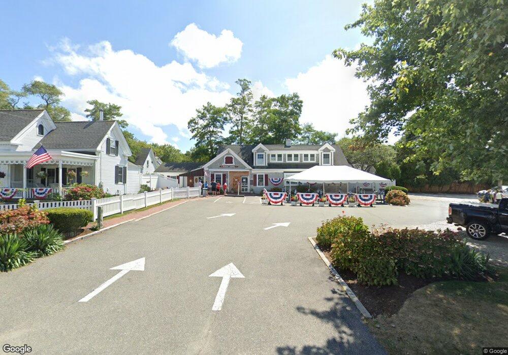
381 Lower County Rd Dennis Port, MA 2639
Dennis Port Neighborhood
--
Bed
--
Bath
2,833
Sq Ft
0.48
Acres
About This Home
This home is located at 381 Lower County Rd, Dennis Port, MA 2639. 381 Lower County Rd is a home located in Barnstable County with nearby schools including Dennis-Yarmouth Regional High School and St. Pius X. School.
Ownership History
Date
Name
Owned For
Owner Type
Purchase Details
Closed on
May 25, 2023
Sold by
Endres Paul J
Bought by
Ss Dport Llc
Home Financials for this Owner
Home Financials are based on the most recent Mortgage that was taken out on this home.
Original Mortgage
$2,535,000
Outstanding Balance
$2,460,184
Interest Rate
6.27%
Mortgage Type
Purchase Money Mortgage
Purchase Details
Closed on
Nov 15, 1977
Bought by
Endres Paul J
Create a Home Valuation Report for This Property
The Home Valuation Report is an in-depth analysis detailing your home's value as well as a comparison with similar homes in the area
Home Values in the Area
Average Home Value in this Area
Purchase History
| Date | Buyer | Sale Price | Title Company |
|---|---|---|---|
| Ss Dport Llc | $1,375,000 | None Available | |
| Ss Dport Llc | $1,375,000 | None Available | |
| Endres Paul J | -- | -- |
Source: Public Records
Mortgage History
| Date | Status | Borrower | Loan Amount |
|---|---|---|---|
| Open | Ss Dport Llc | $2,535,000 | |
| Closed | Ss Dport Llc | $2,535,000 | |
| Previous Owner | Endres Paul J | $225,000 |
Source: Public Records
Tax History Compared to Growth
Tax History
| Year | Tax Paid | Tax Assessment Tax Assessment Total Assessment is a certain percentage of the fair market value that is determined by local assessors to be the total taxable value of land and additions on the property. | Land | Improvement |
|---|---|---|---|---|
| 2025 | $1,031 | $238,200 | $222,800 | $15,400 |
| 2024 | $958 | $218,200 | $214,700 | $3,500 |
| 2023 | $971 | $207,900 | $204,500 | $3,400 |
| 2022 | $1,098 | $196,000 | $192,900 | $3,100 |
| 2021 | $1,158 | $192,100 | $189,100 | $3,000 |
| 2020 | $1,183 | $194,000 | $191,100 | $2,900 |
| 2019 | $2,464 | $399,400 | $191,100 | $208,300 |
| 2018 | $2,542 | $400,900 | $191,100 | $209,800 |
| 2017 | $2,466 | $400,900 | $191,100 | $209,800 |
| 2016 | $3,057 | $468,200 | $191,100 | $277,100 |
| 2015 | $2,996 | $468,200 | $191,100 | $277,100 |
| 2014 | $2,680 | $422,100 | $191,100 | $231,000 |
Source: Public Records
Map
Nearby Homes
- 102 Sea St
- 12 Cross St
- 26 Manning Rd
- 402 Old Wharf Rd
- 402 Old Wharf Rd
- 11 Ocean Park W
- 22 Ferncliff Rd
- 159 Center St Unit 22
- 405 Old Wharf Rd Unit B204
- 405 Old Wharf Rd Unit B204
- 9 Chase Ave Unit 6
- 37-A Beach Hills Rd
- 37 Beach Hills Rd
- 73 Division St
- 10 Candlewood Ln Unit 2-1
- 1 E Belmont Unit 630
- 12 Candlewood Ln Unit 2-9
- 1 Belmont Rd Unit 630
- 1 Belmont Rd Unit 513
- 221 Upper County Rd Unit 2A