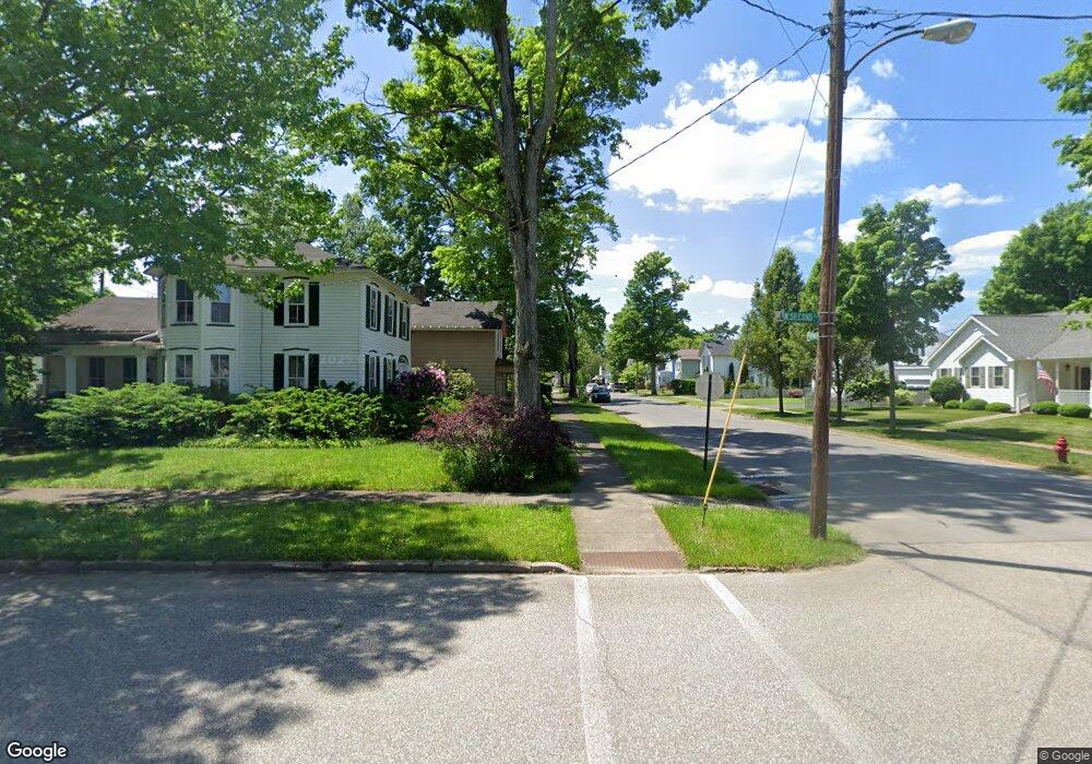
381 N 2nd St Titusville, PA 16354
Estimated Value: $79,563 - $202,000
--
Bed
--
Bath
--
Sq Ft
8,015
Sq Ft Lot
About This Home
This home is located at 381 N 2nd St, Titusville, PA 16354 and is currently estimated at $139,891. 381 N 2nd St is a home located in Crawford County with nearby schools including Titusville Senior High School, Sunset Heights Christian Academy, and Titusville Wesleyan Methodist Academy.
Ownership History
Date
Name
Owned For
Owner Type
Purchase Details
Closed on
Aug 23, 2012
Sold by
Bank Of America Na
Bought by
Secretary Of Hud
Current Estimated Value
Purchase Details
Closed on
Jun 22, 2012
Sold by
Behringer Lisa M
Bought by
Bank Of America Na
Purchase Details
Closed on
Apr 27, 2007
Sold by
Stearns David K and Stearns Brenda
Bought by
Behringer Lisa M
Home Financials for this Owner
Home Financials are based on the most recent Mortgage that was taken out on this home.
Original Mortgage
$76,296
Interest Rate
6.18%
Mortgage Type
FHA
Create a Home Valuation Report for This Property
The Home Valuation Report is an in-depth analysis detailing your home's value as well as a comparison with similar homes in the area
Home Values in the Area
Average Home Value in this Area
Purchase History
| Date | Buyer | Sale Price | Title Company |
|---|---|---|---|
| Secretary Of Hud | -- | None Available | |
| Bank Of America Na | $934 | None Available | |
| Behringer Lisa M | $76,900 | None Available |
Source: Public Records
Mortgage History
| Date | Status | Borrower | Loan Amount |
|---|---|---|---|
| Previous Owner | Behringer Lisa M | $76,296 |
Source: Public Records
Tax History Compared to Growth
Tax History
| Year | Tax Paid | Tax Assessment Tax Assessment Total Assessment is a certain percentage of the fair market value that is determined by local assessors to be the total taxable value of land and additions on the property. | Land | Improvement |
|---|---|---|---|---|
| 2025 | $451 | $16,500 | $650 | $15,850 |
| 2024 | $1,180 | $16,500 | $650 | $15,850 |
| 2023 | $1,180 | $16,500 | $650 | $15,850 |
| 2022 | $1,173 | $16,500 | $650 | $15,850 |
| 2021 | $1,147 | $16,500 | $650 | $15,850 |
| 2020 | $1,147 | $16,500 | $650 | $15,850 |
| 2019 | $1,128 | $16,500 | $650 | $15,850 |
| 2018 | $1,070 | $16,500 | $650 | $15,850 |
| 2017 | $1,052 | $16,500 | $650 | $15,850 |
| 2016 | $402 | $16,500 | $650 | $15,850 |
| 2015 | $402 | $16,500 | $650 | $15,850 |
| 2014 | -- | $16,500 | $650 | $15,850 |
Source: Public Records
Map
Nearby Homes
- 41413 Murray St
- 13087 Main St
- 12112 State Highway 8
- 11578 Hydetown Rd
- 39529 State Highway 408
- 41490 Stover Ln
- 43011 Kerr Mill Rd
- 823 W Spring St
- 12248 N Perry Rd
- 0 Goodwill Rd
- 39397 Mystic Park Rd
- 745 W Spring St
- 512 Park Ave
- 622 W Elm St
- 515 W Elm St
- 323 W Mount Vernon St
- 407 N Monroe St
- 316 W Mount Vernon St
- 317 W Elm St
- 114 N Monroe St