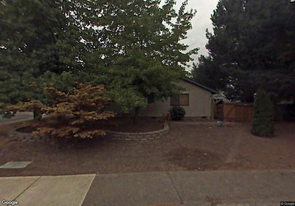
381 NE Hillwood Dr Hillsboro, OR 97124
Central Hillsboro NeighborhoodEstimated Value: $592,000 - $672,000
3
Beds
2
Baths
2,313
Sq Ft
$274/Sq Ft
Est. Value
About This Home
This home is located at 381 NE Hillwood Dr, Hillsboro, OR 97124 and is currently estimated at $632,763, approximately $273 per square foot. 381 NE Hillwood Dr is a home located in Washington County with nearby schools including Eastwood Elementary School, J.W. Poynter Middle School, and Liberty High School.
Ownership History
Date
Name
Owned For
Owner Type
Purchase Details
Closed on
Apr 8, 2005
Sold by
Delazerda Lancia L and Fish Lancia L
Bought by
Delazerda Philip J and Delazerda Lancia L
Current Estimated Value
Home Financials for this Owner
Home Financials are based on the most recent Mortgage that was taken out on this home.
Original Mortgage
$153,000
Interest Rate
5.77%
Mortgage Type
New Conventional
Create a Home Valuation Report for This Property
The Home Valuation Report is an in-depth analysis detailing your home's value as well as a comparison with similar homes in the area
Home Values in the Area
Average Home Value in this Area
Purchase History
| Date | Buyer | Sale Price | Title Company |
|---|---|---|---|
| Delazerda Philip J | -- | First American Title Insuran |
Source: Public Records
Mortgage History
| Date | Status | Borrower | Loan Amount |
|---|---|---|---|
| Closed | Delazerda Philip J | $153,000 | |
| Closed | Delazerda Philip J | $35,000 |
Source: Public Records
Tax History Compared to Growth
Tax History
| Year | Tax Paid | Tax Assessment Tax Assessment Total Assessment is a certain percentage of the fair market value that is determined by local assessors to be the total taxable value of land and additions on the property. | Land | Improvement |
|---|---|---|---|---|
| 2025 | $5,057 | $309,360 | -- | -- |
| 2024 | $4,913 | $300,350 | -- | -- |
| 2023 | $4,913 | $291,610 | $0 | $0 |
| 2022 | $4,780 | $291,610 | $0 | $0 |
| 2021 | $4,684 | $274,880 | $0 | $0 |
| 2020 | $4,583 | $266,880 | $0 | $0 |
| 2019 | $4,451 | $259,110 | $0 | $0 |
| 2018 | $4,261 | $251,570 | $0 | $0 |
| 2017 | $4,106 | $244,250 | $0 | $0 |
| 2016 | $3,994 | $237,140 | $0 | $0 |
| 2015 | $3,833 | $230,240 | $0 | $0 |
| 2014 | $3,811 | $223,540 | $0 | $0 |
Source: Public Records
Map
Nearby Homes
- 1303 NE Cornell Rd
- 461 NE 16th Ave
- 1269 NE Grant St
- 1184 NE Turner Dr
- 1043 NE Sturgess Ave
- 1822 NE Barberry Dr
- 1112 E Main St
- 2411 NE Hyde St
- 960 E Main St
- 1740 NE Darby St
- 1442 NE 14th Ave
- 2570 NE Grant St
- 319 NE Hyde Cir
- 2080 NE Darby St
- 1455 NE Jessica Loop
- 624 NE Edison St
- 1450 NE Sunrise Ln
- 1518 SE Oak St Unit 2
- 876 NE Hood St
- 349 SE Walnut St
- 541 NE 14th Ave
- 379 NE Hillwood Dr
- 383 NE Hillwood Dr
- 535 NE 14th Ave
- 375 NE Hillwood Dr
- 1350 NE Cornell Rd
- 371 NE Hillwood Dr
- 542 NE 14th Ave
- 520 NE 14th Ave
- 382 NE Hillwood Dr
- 376 NE Hillwood Dr
- 388 NE Hillwood Dr
- 1311 NE Cornell Rd
- 1380 NE Cornell Rd
- 367 NE Hillwood Dr
- 1520 NE Grant St
- 1363 NE Cornell Rd
- 419 NE Hillwood Dr
- 1399 NE Snell Ct
- 394 NE Hillwood Dr