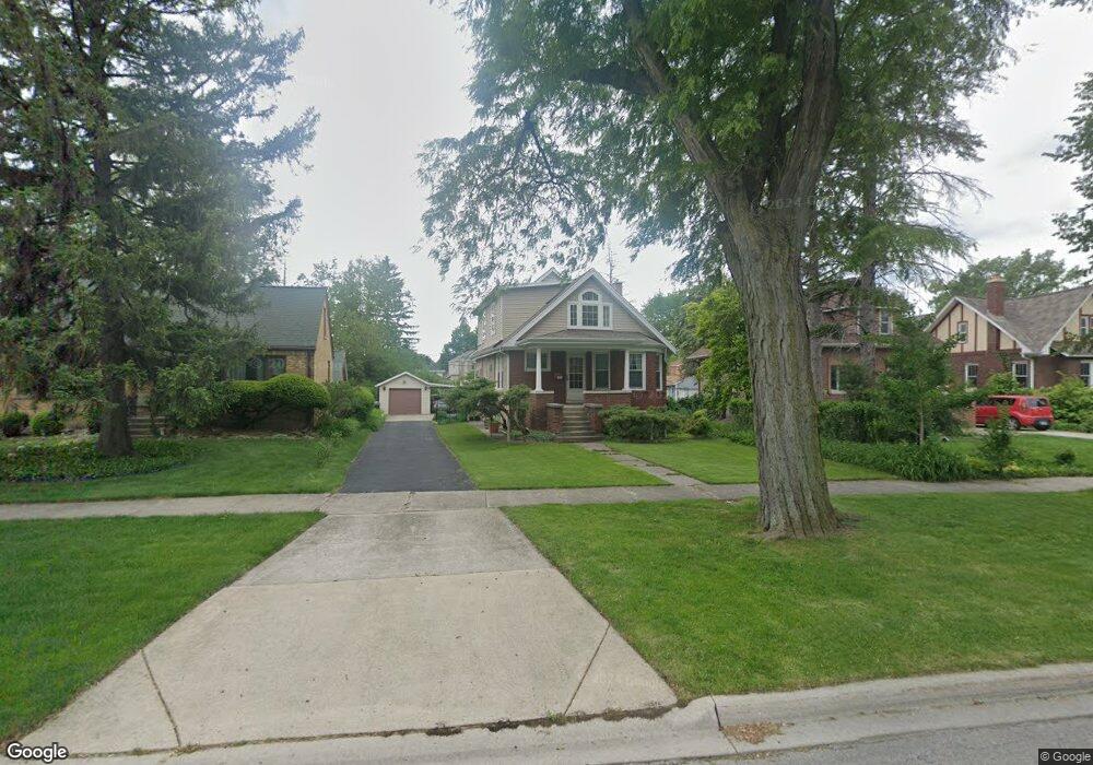
381 Olmsted Rd Riverside, IL 60546
Estimated Value: $416,000 - $559,000
About This Home
This home is located at 381 Olmsted Rd, Riverside, IL 60546 and is currently estimated at $505,657, approximately $386 per square foot. 381 Olmsted Rd is a home located in Cook County with nearby schools including Central Elementary School, L J Hauser Jr High School, and Riverside Brookfield High School.
Ownership History
We collect this data history from publicly available records. To have your information removed, we recommend requesting removal directly through your county’s website.
Purchase Details
Home Financials for this Owner
Home Financials are based on the most recent Mortgage that was taken out on this home.Home Values in the Area
Average Home Value in this Area
Purchase History
We collect this data history from publicly available records. To have your information removed, we recommend requesting removal directly through your county’s website.
| Date | Buyer | Sale Price | Title Company |
|---|---|---|---|
| $160,000 | -- |
Mortgage History
We collect this data history from publicly available records. To have your information removed, we recommend requesting removal directly through your county’s website.
| Date | Status | Borrower | Loan Amount |
|---|---|---|---|
| Closed | $128,000 |
Tax History
We collect this data history from publicly available records. To have your information removed, we recommend requesting removal directly through your county’s website.
| Year | Tax Paid | Tax Assessment Tax Assessment Total Assessment is a certain percentage of the fair market value that is determined by local assessors to be the total taxable value of land and additions on the property. | Land | Improvement |
|---|---|---|---|---|
| 2025 | $4,799 | $41,000 | $10,500 | $30,500 |
| 2024 | $4,799 | $41,000 | $10,500 | $30,500 |
| 2023 | $5,928 | $41,000 | $10,500 | $30,500 |
| 2022 | $5,928 | $30,766 | $9,188 | $21,578 |
| 2021 | $5,546 | $30,764 | $9,187 | $21,577 |
| 2020 | $4,997 | $30,764 | $9,187 | $21,577 |
| 2019 | $5,461 | $24,606 | $8,400 | $16,206 |
| 2018 | $5,310 | $24,606 | $8,400 | $16,206 |
| 2017 | $5,048 | $26,437 | $8,400 | $18,037 |
| 2016 | $6,438 | $23,701 | $7,350 | $16,351 |
| 2015 | $6,608 | $23,701 | $7,350 | $16,351 |
| 2014 | $6,527 | $23,701 | $7,350 | $16,351 |
| 2013 | $6,738 | $26,105 | $7,350 | $18,755 |
Map
- 317 Olmsted Rd
- 280 Blackhawk Rd
- 342 Lawton Rd
- 3624 Wenonah Ave
- 3747 Wisconsin Ave
- 7228 39th St Unit 2W
- 3835 Maple Ave
- 210 Gage Rd
- 7042 Pershing Rd
- 7335 Oakwood Ave Unit P-10
- 7335 Oakwood Ave Unit P-12
- 7335 Oakwood Ave Unit P-8
- 7335 Oakwood Ave Unit P-11
- 7335 Oakwood Ave Unit P-14
- 3548 Clinton Ave
- 21 N Herbert Rd Unit I
- 7316 40th St Unit P-9
- 7316 40th St Unit P-10
- 7316 40th St Unit P-13
- 3707 Kenilworth Ave
- 369 Olmsted Rd
- 365 Olmsted Rd
- 373 Olmsted Rd
- 361 Olmsted Rd
- 379 Olmsted Rd
- 353 Olmsted Rd
- 380 Blackhawk Rd
- 384 Blackhawk Rd
- 385 Olmsted Rd
- 376 Blackhawk Rd
- 386 Blackhawk Rd
- 139 S Delaplaine Rd
- 372 Blackhawk Rd
- 392 Blackhawk Rd
- 143 S Delaplaine Rd
- 368 Blackhawk Rd
- 345 Olmsted Rd
- 398 Blackhawk Rd
- 374 Olmsted Rd
- 147 S Delaplaine Rd
Ask me questions while you tour the home.