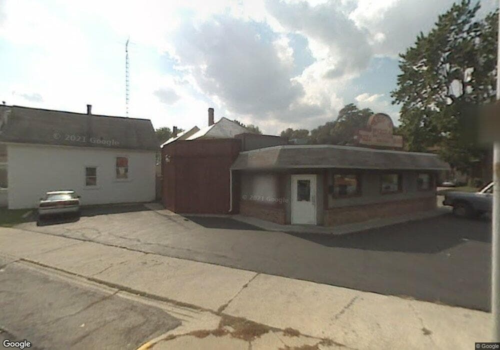
381 Perry St Fostoria, OH 44830
Estimated Value: $294,014
--
Bed
2
Baths
1,892
Sq Ft
$155/Sq Ft
Est. Value
About This Home
This home is located at 381 Perry St, Fostoria, OH 44830 and is currently priced at $294,014, approximately $155 per square foot. 381 Perry St is a home located in Seneca County with nearby schools including Fostoria Intermediate Elementary School and Fostoria Junior/Senior High School.
Ownership History
Date
Name
Owned For
Owner Type
Purchase Details
Closed on
May 22, 2000
Bought by
Hosman James D
Current Estimated Value
Purchase Details
Closed on
Feb 10, 2000
Sold by
Lang John C
Bought by
Gerald M Liss Co Inc
Purchase Details
Closed on
Jun 19, 1995
Sold by
Lang John C
Bought by
Lang John C
Purchase Details
Closed on
Aug 31, 1994
Bought by
Lang John C
Purchase Details
Closed on
Mar 18, 1994
Sold by
Brizzi Debbi S
Bought by
Liss Gerald M Co Inc
Create a Home Valuation Report for This Property
The Home Valuation Report is an in-depth analysis detailing your home's value as well as a comparison with similar homes in the area
Home Values in the Area
Average Home Value in this Area
Purchase History
| Date | Buyer | Sale Price | Title Company |
|---|---|---|---|
| Hosman James D | $65,000 | -- | |
| Gerald M Liss Co Inc | $67,500 | -- | |
| Lang John C | -- | -- | |
| Lang John C | $72,000 | -- | |
| Liss Gerald M Co Inc | $31,000 | -- |
Source: Public Records
Tax History Compared to Growth
Tax History
| Year | Tax Paid | Tax Assessment Tax Assessment Total Assessment is a certain percentage of the fair market value that is determined by local assessors to be the total taxable value of land and additions on the property. | Land | Improvement |
|---|---|---|---|---|
| 2024 | $1,658 | $23,350 | $3,290 | $20,060 |
| 2023 | $1,656 | $23,350 | $3,290 | $20,060 |
| 2022 | $2,038 | $25,580 | $5,920 | $19,660 |
| 2021 | $2,077 | $25,580 | $5,920 | $19,660 |
| 2020 | $2,081 | $25,575 | $5,919 | $19,656 |
| 2019 | $2,069 | $25,575 | $5,919 | $19,656 |
| 2018 | $2,092 | $25,575 | $5,919 | $19,656 |
| 2017 | $2,077 | $25,575 | $5,919 | $19,656 |
| 2016 | $1,933 | $25,575 | $5,919 | $19,656 |
| 2015 | $1,901 | $25,575 | $5,919 | $19,656 |
| 2014 | $1,841 | $25,575 | $5,919 | $19,656 |
| 2013 | $1,931 | $25,575 | $5,919 | $19,656 |
Source: Public Records
Map
Nearby Homes
- 723 N Union St
- 520 N Union St
- 211 Summit St
- 931 N Union St
- 633 Maple St
- 892 N Countyline St
- 203 N Union St
- 900 N Countyline St
- 540 N Poplar St
- 603 N Vine St
- 509 College Ave
- 435 Park Ave
- 207 W Culbertson St
- 321 Mcdougal St
- 901 Central Ave
- 348 W South St
- 351 W South St
- 0 W South Route 12
- 442 Union Ct
- 1324 N Union St