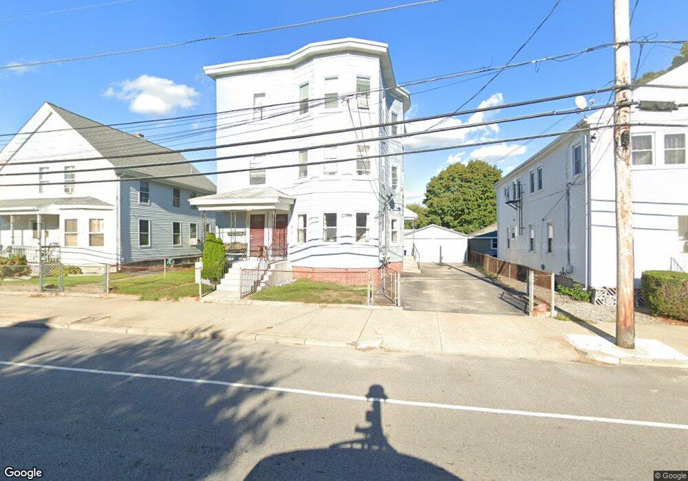
381 Power Rd Pawtucket, RI 02860
Fairlawn NeighborhoodEstimated Value: $633,000 - $667,000
6
Beds
3
Baths
3,129
Sq Ft
$209/Sq Ft
Est. Value
About This Home
This home is located at 381 Power Rd, Pawtucket, RI 02860 and is currently estimated at $653,000, approximately $208 per square foot. 381 Power Rd is a home located in Providence County with nearby schools including Trinity Academy for the Performing Arts, Wheeler School, and St. Augustine School.
Create a Home Valuation Report for This Property
The Home Valuation Report is an in-depth analysis detailing your home's value as well as a comparison with similar homes in the area
Home Values in the Area
Average Home Value in this Area
Tax History
| Year | Tax Paid | Tax Assessment Tax Assessment Total Assessment is a certain percentage of the fair market value that is determined by local assessors to be the total taxable value of land and additions on the property. | Land | Improvement |
|---|---|---|---|---|
| 2025 | $6,117 | $465,200 | $124,700 | $340,500 |
| 2024 | $5,741 | $465,200 | $124,700 | $340,500 |
| 2023 | $5,343 | $315,400 | $75,200 | $240,200 |
| 2022 | $5,229 | $315,400 | $75,200 | $240,200 |
| 2021 | $5,229 | $315,400 | $75,200 | $240,200 |
| 2020 | $4,094 | $196,000 | $52,800 | $143,200 |
| 2019 | $4,094 | $196,000 | $52,800 | $143,200 |
| 2018 | $3,945 | $196,000 | $52,800 | $143,200 |
| 2017 | $4,133 | $181,900 | $56,400 | $125,500 |
| 2016 | $3,982 | $181,900 | $56,400 | $125,500 |
| 2015 | $3,982 | $181,900 | $56,400 | $125,500 |
| 2014 | $3,224 | $139,800 | $56,400 | $83,400 |
Source: Public Records
Map
Nearby Homes
- 60 Stedman Ave
- 53 Oriole Ave
- 60 Dorman Ave
- 957 Mineral Spring Ave
- 458 Smithfield Ave
- 2 Ward Ave
- 63 Chandler Ave
- 53 Francis Ave
- 220 Francis Ave
- 82 Hillcrest Ave
- 18 Fairmont Ave
- 11 Franklin St
- 121 Samuel Ave
- 2 Cobble Hill Rd
- 53 Samuel Ave
- 16 Rufus St
- 1190 Charles St Unit 20
- 1190 Charles St Unit 14
- 5 Morrill Ln Unit C
- 18 Almy St
Your Personal Tour Guide
Ask me questions while you tour the home.