Estimated Value: $198,000 - $280,000
2
Beds
1
Bath
1,260
Sq Ft
$184/Sq Ft
Est. Value
About This Home
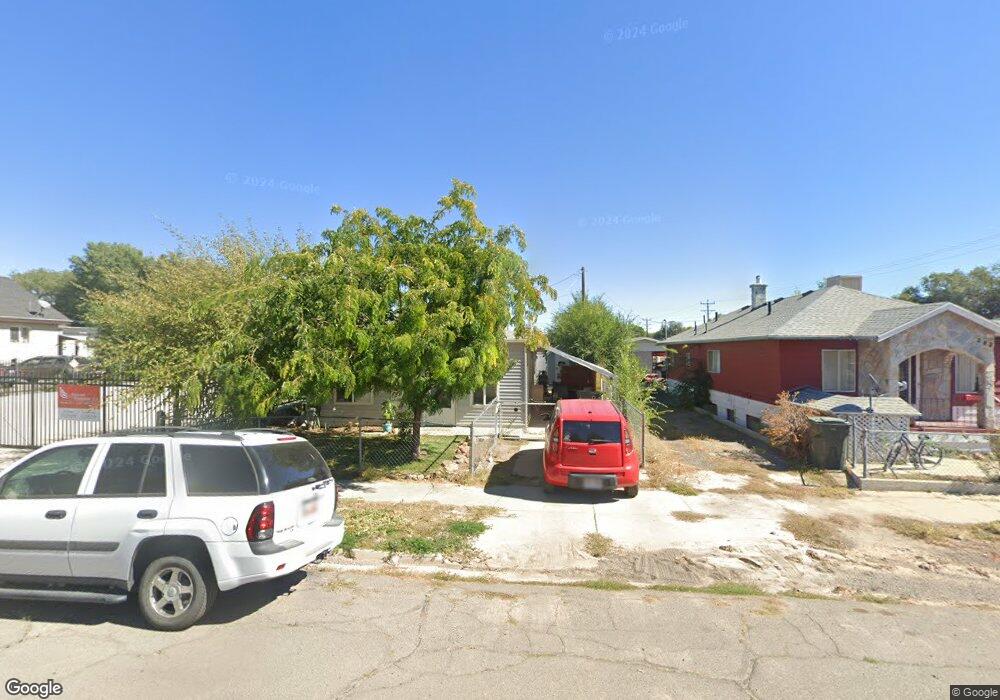
This home is located at 381 S 100 W, Price, UT 84501 and is currently estimated at $231,418, approximately $183 per square foot. 381 S 100 W is a home located in Carbon County with nearby schools including Creekview School, Mont Harmon Junior High School, and Carbon High School.
Ownership History
Date
Name
Owned For
Owner Type
Purchase Details
Closed on
Mar 3, 2016
Sold by
Fowkes Nancy A
Bought by
Fowkes Nancy A and Fowkes Joshua L
Current Estimated Value
Purchase Details
Closed on
Jun 25, 2008
Sold by
Fowkes Nancy A
Bought by
Fowkes Nancy A and Fowkes Wayne Henry
Purchase Details
Closed on
Sep 10, 2007
Sold by
Metelko Paul J
Bought by
Ajb Holdings Llc
Purchase Details
Closed on
Feb 8, 2006
Sold by
The Secretary Of Hud
Bought by
Metelko Paul J
Purchase Details
Closed on
Oct 28, 2005
Sold by
Utah Housing Corp
Bought by
The Secretary Of Hud
Purchase Details
Closed on
Oct 5, 2005
Sold by
Edwards James William
Bought by
Bank Of Utah
Create a Home Valuation Report for This Property
The Home Valuation Report is an in-depth analysis detailing your home's value as well as a comparison with similar homes in the area
Home Values in the Area
Average Home Value in this Area
Purchase History
| Date | Buyer | Sale Price | Title Company |
|---|---|---|---|
| Fowkes Nancy A | -- | None Available | |
| Fowkes Nancy A | -- | South Eastern Utah Title Co | |
| Fowkes Nancy A | -- | South Eastern Utah Title Co | |
| Ajb Holdings Llc | -- | South Eastern Utah Title Co | |
| Metelko Paul J | -- | South Eastern Utah Title Co | |
| The Secretary Of Hud | -- | Professional Title Services | |
| Bank Of Utah | $56,210 | Professional Title Services |
Source: Public Records
Tax History Compared to Growth
Tax History
| Year | Tax Paid | Tax Assessment Tax Assessment Total Assessment is a certain percentage of the fair market value that is determined by local assessors to be the total taxable value of land and additions on the property. | Land | Improvement |
|---|---|---|---|---|
| 2024 | $1,112 | $92,603 | $14,025 | $78,578 |
| 2023 | $929 | $82,477 | $7,924 | $74,553 |
| 2022 | $970 | $77,252 | $6,589 | $70,663 |
| 2021 | $835 | $103,168 | $10,067 | $93,101 |
| 2020 | $819 | $50,807 | $0 | $0 |
| 2019 | $729 | $47,427 | $0 | $0 |
| 2018 | $589 | $39,126 | $0 | $0 |
| 2017 | $582 | $39,126 | $0 | $0 |
| 2016 | $525 | $39,126 | $0 | $0 |
| 2015 | $525 | $39,126 | $0 | $0 |
| 2014 | $522 | $39,126 | $0 | $0 |
| 2013 | $365 | $27,145 | $0 | $0 |
Source: Public Records
Map
Nearby Homes
- 328 S Carbon Ave
- 260 W 500 S
- 280 W 500 S
- 410 Rose Ave
- 454 Rose Ave
- 558 E 200 S
- 7700 Us Highway 6
- 245 S 200 E
- 2866 S 150 E
- 144 S 300 E
- 133 S 300 E
- 495 S Fairgrounds Rd
- 175 N 100 E
- 1101 S Carbon Ave
- 1101 S Carbon Ave Unit 70
- 1101 S Carbon Ave Unit 39
- 1101 S Carbon Ave Unit 109
- 1101 S Carbon Ave Unit 29
- 449 E 300 S
- 198 N 400 W