381 State Highway Dd Branson West, MO 65737
Estimated Value: $705,000 - $1,679,908
8
Beds
6
Baths
8,056
Sq Ft
$167/Sq Ft
Est. Value
About This Home
This home is located at 381 State Highway Dd, Branson West, MO 65737 and is currently estimated at $1,342,227, approximately $166 per square foot. 381 State Highway Dd is a home located in Stone County with nearby schools including Reeds Spring Primary School, Reeds Spring Elementary School, and Reeds Spring Middle School.
Ownership History
Date
Name
Owned For
Owner Type
Purchase Details
Closed on
Mar 13, 2024
Sold by
J And D Property Holdings Llc
Bought by
Ward Realty Group Llc
Current Estimated Value
Home Financials for this Owner
Home Financials are based on the most recent Mortgage that was taken out on this home.
Original Mortgage
$464,000
Interest Rate
6.63%
Purchase Details
Closed on
Jan 1, 2023
Sold by
Miller-Blevins Excavating Inc
Bought by
Jaimes Handyman Services Llc
Purchase Details
Closed on
Mar 15, 2021
Sold by
Ijames Carl E and Ijames Eleanor T
Bought by
J And D Property Holdings Llc
Create a Home Valuation Report for This Property
The Home Valuation Report is an in-depth analysis detailing your home's value as well as a comparison with similar homes in the area
Home Values in the Area
Average Home Value in this Area
Purchase History
| Date | Buyer | Sale Price | Title Company |
|---|---|---|---|
| Ward Realty Group Llc | -- | None Listed On Document | |
| Jaimes Handyman Services Llc | -- | -- | |
| J And D Property Holdings Llc | -- | None Available |
Source: Public Records
Mortgage History
| Date | Status | Borrower | Loan Amount |
|---|---|---|---|
| Previous Owner | Ward Realty Group Llc | $464,000 | |
| Previous Owner | Ward Realty Group Llc | $1,200,000 |
Source: Public Records
Tax History
| Year | Tax Paid | Tax Assessment Tax Assessment Total Assessment is a certain percentage of the fair market value that is determined by local assessors to be the total taxable value of land and additions on the property. | Land | Improvement |
|---|---|---|---|---|
| 2025 | $8,435 | $160,300 | -- | -- |
| 2024 | $8,435 | $160,300 | -- | -- |
| 2023 | $8,424 | $160,300 | $0 | $0 |
| 2022 | $8,381 | $72,960 | $0 | $0 |
| 2021 | $3,592 | $72,960 | $0 | $0 |
| 2020 | $3,164 | $72,960 | $0 | $0 |
| 2019 | $3,146 | $72,960 | $0 | $0 |
| 2018 | $3,141 | $72,960 | $0 | $0 |
| 2017 | $3,187 | $73,910 | $0 | $0 |
| 2016 | $3,100 | $73,910 | $0 | $0 |
| 2015 | $3,105 | $73,910 | $0 | $0 |
| 2014 | $3,053 | $73,910 | $0 | $0 |
| 2012 | -- | $73,910 | $0 | $0 |
Source: Public Records
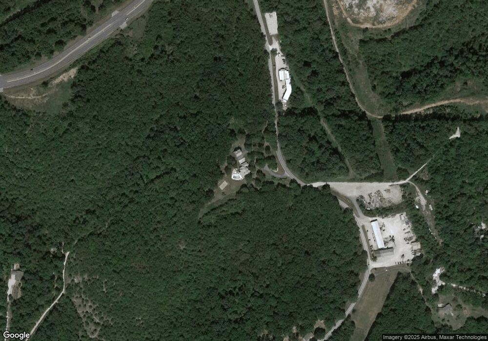
Map
Nearby Homes
- 20 Pottsville Loop
- Lot 2
- Lots 1&2 Rollin Acres Road (0 7 Acres)
- Lot 1 Rollin Acres Road (0 31 Acres)
- 157 Rollin Point
- Lot 17 Clear Clove Landing
- Lot 11 By Pass Loop
- 66 Acres Highway 13
- 18540 Business 13
- 000 Business 13
- 18300 Business 13
- 1452 Talking Rocks Rd (Lot 45) Rd
- 1544 Talking Rocks Rd
- Lot 27 Talking Rocks Rd
- Lot 26 Talking Rocks Rd
- 000 October Hill Ln
- 2296 Talking Rocks Rd
- 70 Campfire Dr
- 117 Blue Springs Ln
- 267 Blue Springs Ln
- 381 State Highway Dd
- Tract 3 State Highway Dd
- Tract 1 State Highway Dd
- 629 State Highway Dd
- 629 State Highway Dd
- 689 State Highway Dd
- 16208 Missouri 13
- 16208 State Highway 13
- 16208 Missouri 13
- 337 Avalon
- 550 State Highway Dd
- 102 Ripley Ln
- 1 State Highway Dd
- 14788 Missouri 13
- 14930 Missouri 13
- 14720 Missouri 13
- 14965 Missouri 13
- 15057 Missouri 13
- 95 Green Gables
- 112 Pottsville Loop
Your Personal Tour Guide
Ask me questions while you tour the home.