381 Ts Jarrard Rd Dahlonega, GA 30533
Estimated Value: $251,000 - $777,000
--
Bed
2
Baths
840
Sq Ft
$511/Sq Ft
Est. Value
About This Home
This home is located at 381 Ts Jarrard Rd, Dahlonega, GA 30533 and is currently estimated at $429,237, approximately $510 per square foot. 381 Ts Jarrard Rd is a home located in Lumpkin County with nearby schools including Lumpkin County High School.
Ownership History
Date
Name
Owned For
Owner Type
Purchase Details
Closed on
Apr 22, 2025
Sold by
Opsteen John
Bought by
Jn Opsteen Living Trust and Opsteen J N Trust
Current Estimated Value
Purchase Details
Closed on
Sep 29, 2008
Sold by
Parks Fam Properties Ll
Bought by
Opsteen John
Home Financials for this Owner
Home Financials are based on the most recent Mortgage that was taken out on this home.
Original Mortgage
$94,525
Interest Rate
6.36%
Mortgage Type
New Conventional
Purchase Details
Closed on
Mar 30, 1988
Sold by
Clark El Etal
Bought by
Parks Family Properties Lllp
Create a Home Valuation Report for This Property
The Home Valuation Report is an in-depth analysis detailing your home's value as well as a comparison with similar homes in the area
Home Values in the Area
Average Home Value in this Area
Purchase History
| Date | Buyer | Sale Price | Title Company |
|---|---|---|---|
| Jn Opsteen Living Trust | -- | -- | |
| Opsteen John | $99,500 | -- | |
| Parks Family Properties Lllp | $26,000 | -- |
Source: Public Records
Mortgage History
| Date | Status | Borrower | Loan Amount |
|---|---|---|---|
| Previous Owner | Opsteen John | $94,525 |
Source: Public Records
Tax History Compared to Growth
Tax History
| Year | Tax Paid | Tax Assessment Tax Assessment Total Assessment is a certain percentage of the fair market value that is determined by local assessors to be the total taxable value of land and additions on the property. | Land | Improvement |
|---|---|---|---|---|
| 2024 | $1,557 | $65,085 | $8,860 | $56,225 |
| 2023 | $1,429 | $60,734 | $8,280 | $52,454 |
| 2022 | $1,202 | $48,558 | $6,900 | $41,658 |
| 2021 | $1,063 | $41,545 | $6,900 | $34,645 |
| 2020 | $1,064 | $40,322 | $6,612 | $33,710 |
| 2019 | $1,073 | $40,322 | $6,612 | $33,710 |
| 2018 | $1,034 | $36,458 | $6,612 | $29,846 |
| 2017 | $1,011 | $34,938 | $6,612 | $28,326 |
| 2016 | $940 | $31,418 | $6,612 | $24,806 |
| 2015 | $835 | $31,418 | $6,612 | $24,806 |
| 2014 | $835 | $31,682 | $6,612 | $25,070 |
| 2013 | -- | $32,210 | $6,612 | $25,598 |
Source: Public Records
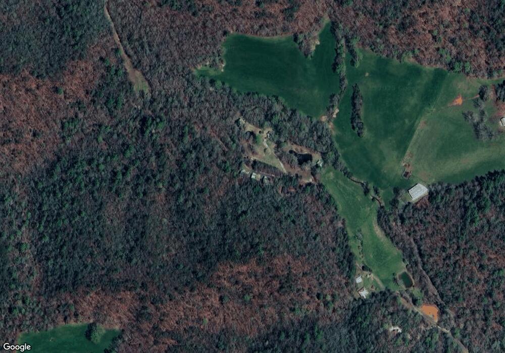
Map
Nearby Homes
- T S T S Jarrard Rd
- 0 Ts Jarrard Rd Unit Tract 3
- 11161 Highway 19 N
- 86 Yonah View
- 105 Yonah View
- 399 Ranch Mountain Dr
- 31 Pine Rd
- 129 Pine Rd
- 105 Ranch Mountain Ct
- 18 Rustin Ridge
- 24 Rustin Ridge
- 26 Rustin Ridge
- 180 Alonzo Cain Rd
- 265 Hound Dog Ln
- 0 Damascus Church Rd Unit 21674636
- 200 Huntington Place
- 169 Dunns Rd
- 310 Highland Trail
- 133 Elkmont Dr
- 0 Yahoola Rd Unit 10535206
- 383 Ts Jarrard Rd
- 379 Ts Jarrard Rd
- 0 T S Jarrard Rd
- 368 Ts Jarrard Rd
- 416 Ts Jarrard Rd
- 332 Ts Jarrard Rd
- 0 Ts Jarrard Rd Unit TRACT 3
- T Ts Jarrard Rd
- 197 Ts Jarrard Rd
- 89 Ts Jarrard Rd
- 376 Cedar View
- 568 Ts Jarrard Rd
- 10771 Highway 19 N
- 10925 U S 19
- 514 Carlin Cove
- 20 Whitner Ln
- 5846 Porter Springs Rd
- 5764 Porter Springs Rd
- 5770 Porter Springs Rd
- 259 Laurel Springs Ln