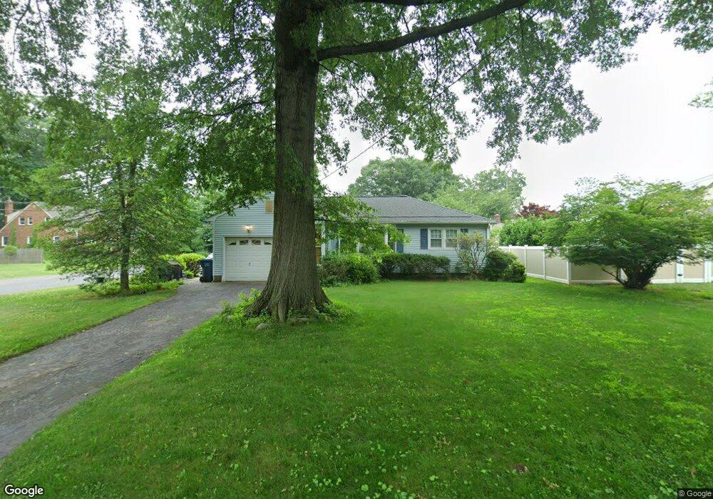
381 W Lawrence St Milltown, NJ 08850
Estimated Value: $433,000
2
Beds
2
Baths
1,051
Sq Ft
$412/Sq Ft
Est. Value
About This Home
This home is located at 381 W Lawrence St, Milltown, NJ 08850 and is currently estimated at $433,000, approximately $411 per square foot. 381 W Lawrence St is a home located in Middlesex County with nearby schools including Parsons Elementary School, Linwood Middle School, and North Brunswick Twp High School.
Ownership History
Date
Name
Owned For
Owner Type
Purchase Details
Closed on
Oct 9, 2015
Sold by
Karlson Patricia and Karlson Oscar Emanuel
Bought by
Hamilton William J
Current Estimated Value
Purchase Details
Closed on
Dec 6, 1994
Sold by
Estate Esther Ryan
Bought by
Dugan Edith and Karlson Patricia
Home Financials for this Owner
Home Financials are based on the most recent Mortgage that was taken out on this home.
Original Mortgage
$25,000
Interest Rate
8.81%
Create a Home Valuation Report for This Property
The Home Valuation Report is an in-depth analysis detailing your home's value as well as a comparison with similar homes in the area
Home Values in the Area
Average Home Value in this Area
Purchase History
| Date | Buyer | Sale Price | Title Company |
|---|---|---|---|
| Hamilton William J | $258,900 | East Coast Title Agency | |
| Dugan Edith | $150,000 | -- |
Source: Public Records
Mortgage History
| Date | Status | Borrower | Loan Amount |
|---|---|---|---|
| Previous Owner | Dugan Edith | $25,000 |
Source: Public Records
Tax History Compared to Growth
Tax History
| Year | Tax Paid | Tax Assessment Tax Assessment Total Assessment is a certain percentage of the fair market value that is determined by local assessors to be the total taxable value of land and additions on the property. | Land | Improvement |
|---|---|---|---|---|
| 2025 | $8,870 | $140,000 | $59,000 | $81,000 |
| 2024 | $8,711 | $140,000 | $59,000 | $81,000 |
| 2023 | $8,711 | $140,000 | $59,000 | $81,000 |
| 2022 | $8,414 | $140,000 | $59,000 | $81,000 |
| 2021 | $6,131 | $140,000 | $59,000 | $81,000 |
| 2020 | $8,100 | $140,000 | $59,000 | $81,000 |
| 2019 | $7,935 | $140,000 | $59,000 | $81,000 |
| 2018 | $7,773 | $140,000 | $59,000 | $81,000 |
| 2017 | $7,636 | $140,000 | $59,000 | $81,000 |
| 2016 | $7,476 | $140,000 | $59,000 | $81,000 |
| 2015 | $6,572 | $125,200 | $59,000 | $66,200 |
| 2014 | $6,498 | $125,200 | $59,000 | $66,200 |
Source: Public Records
Map
Nearby Homes
- 50 Columbia Ave
- 79 Booream Ave
- 2 Kohlhepp Ave
- 173 N Main St
- 1088 S Boyd Pkwy
- 167-169 N Main St
- 1123 N Boyd Pkwy
- 279 Highland Dr
- 386 Franklin Rd
- 790 Cranbury Cross Rd
- 422 Franklin Rd
- 796 Curie Rd
- 72 W Church St
- 110 W Church St
- 803 Nassau St
- 10 Janet Ct
- 84 Ford Ave
- 303 Constitution Cir
- 334 Constitution Cir
- 855 Newton St
- 373 W Lawrence St
- 384 Tremont Ave
- 395 W Lawrence St
- 808 Prospect Ave
- 365 W Lawrence St
- 394 W Lawrence St
- 795 Prospect Ave
- 374 W Lawrence St
- 808 Prospect Ave
- 366 Tremont Ave
- 784 Prospect Ave
- 400 W Lawrence St
- 355 W Lawrence St
- 381 Tremont Ave
- 407 W Lawrence St
- 360 W Lawrence St
- 362 Tremont Ave
- 785 Prospect Ave
- 375 Tremont Ave
- 375 Tremont St