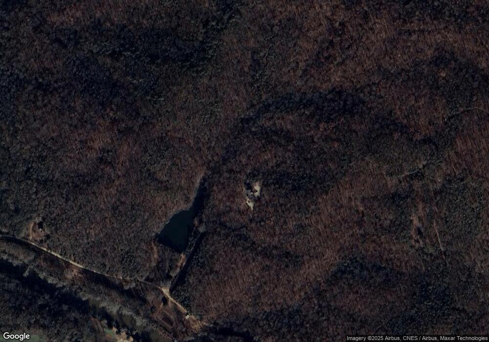
381 Walkers Way Royston, GA 30662
Estimated Value: $657,600 - $660,000
4
Beds
3
Baths
2,544
Sq Ft
$259/Sq Ft
Est. Value
About This Home
This home is located at 381 Walkers Way, Royston, GA 30662 and is currently estimated at $658,800, approximately $258 per square foot. 381 Walkers Way is a home with nearby schools including Franklin County High School.
Ownership History
Date
Name
Owned For
Owner Type
Purchase Details
Closed on
Oct 31, 2006
Sold by
Rice Wendy W
Bought by
Rice Wendy W and Walker Polly
Current Estimated Value
Purchase Details
Closed on
Jun 13, 2006
Sold by
Rice Bryan A
Bought by
Rice Wendy W
Purchase Details
Closed on
Sep 26, 2001
Sold by
Walker Polly
Bought by
Rice Bryan A and Rice Wendy W
Create a Home Valuation Report for This Property
The Home Valuation Report is an in-depth analysis detailing your home's value as well as a comparison with similar homes in the area
Home Values in the Area
Average Home Value in this Area
Purchase History
| Date | Buyer | Sale Price | Title Company |
|---|---|---|---|
| Rice Wendy W | -- | -- | |
| Rice Wendy W | -- | -- | |
| Rice Bryan A | -- | -- |
Source: Public Records
Tax History Compared to Growth
Tax History
| Year | Tax Paid | Tax Assessment Tax Assessment Total Assessment is a certain percentage of the fair market value that is determined by local assessors to be the total taxable value of land and additions on the property. | Land | Improvement |
|---|---|---|---|---|
| 2024 | $3,732 | $217,918 | $51,060 | $166,858 |
| 2023 | $3,645 | $198,107 | $46,418 | $151,689 |
| 2022 | $3,274 | $173,866 | $36,017 | $137,849 |
| 2021 | $2,935 | $153,867 | $36,017 | $117,850 |
| 2020 | $3,233 | $147,865 | $30,015 | $117,850 |
| 2019 | $3,118 | $147,865 | $30,015 | $117,850 |
| 2018 | $2,745 | $132,757 | $28,983 | $103,774 |
| 2017 | $2,826 | $133,023 | $29,249 | $103,774 |
| 2016 | $2,612 | $121,553 | $29,249 | $92,304 |
| 2015 | -- | $121,553 | $29,249 | $92,304 |
| 2014 | -- | $121,554 | $29,249 | $92,304 |
| 2013 | -- | $123,742 | $29,249 | $94,493 |
Source: Public Records
Map
Nearby Homes
- 1745 Hannah Creek Church Rd
- 1350 Baker Rd
- 0 S Tanglewood Dr Unit 1027287
- 0 S Tanglewood Dr Unit 10538269
- 66 Topaz Ln
- 0 Dove Hill Rd Unit 25439972
- 0 Dove Hill Rd Unit 10637645
- 955 Collins Dudley Rd
- 0 Dickson Dr Unit 416392
- 0 Dickson Dr Unit 7594620
- 0 Dickson Dr Unit 23800701
- 0 Dickson Dr Unit 10539867
- 706 Sam Bruce Rd
- 329 Riverbend Dr
- 157 Riverbend Cir
- 2246 Wildcat Bridge Rd
- 1112 Reno Rd
- 3322 Cheek Pulliam Rd
- 206 College Heights
- 249 Taylor St
- 6045 Highway 29
- 6045 Hwy 29
- 916 Freedom Church Rd
- 5311 Highway 29
- 0 Walker's Way
- 5629 Highway 29
- 5731 Highway 29
- 5627 Highway 29
- 5627 Highway 29
- 5885 Highway 29
- 5525 Highway 29
- 1223 Dove Hill Rd
- 5560 Highway 29
- 5265 Highway 29
- 5354 Highway 29
- 5991 U S 29
- 50 Fowler Rd
- 5260 Highway 29
- 5181 Highway 29
- 6001 Highway 29
