381 Waterside Ln Freeport, FL 32439
Estimated Value: $212,103 - $518,000
2
Beds
1
Bath
836
Sq Ft
$367/Sq Ft
Est. Value
About This Home
This home is located at 381 Waterside Ln, Freeport, FL 32439 and is currently estimated at $307,026, approximately $367 per square foot. 381 Waterside Ln is a home located in Walton County with nearby schools including Freeport Elementary School, Freeport Middle School, and Freeport Senior High School.
Ownership History
Date
Name
Owned For
Owner Type
Purchase Details
Closed on
Oct 31, 2022
Sold by
Odom Tanya
Bought by
Clark Jonathan and Clark Marilyn
Current Estimated Value
Purchase Details
Closed on
Oct 28, 2022
Sold by
Odom James
Bought by
Odom Tanya
Purchase Details
Closed on
Aug 6, 2003
Sold by
Cole John M
Bought by
Odom James and Odom Tanya
Home Financials for this Owner
Home Financials are based on the most recent Mortgage that was taken out on this home.
Original Mortgage
$47,999
Interest Rate
7.5%
Mortgage Type
Purchase Money Mortgage
Create a Home Valuation Report for This Property
The Home Valuation Report is an in-depth analysis detailing your home's value as well as a comparison with similar homes in the area
Home Values in the Area
Average Home Value in this Area
Purchase History
| Date | Buyer | Sale Price | Title Company |
|---|---|---|---|
| Clark Jonathan | $210,000 | Coastal Title | |
| Odom Tanya | -- | Coastal Title | |
| Odom James | $60,000 | First Natl Land Title Co Inc |
Source: Public Records
Mortgage History
| Date | Status | Borrower | Loan Amount |
|---|---|---|---|
| Previous Owner | Odom James | $47,999 |
Source: Public Records
Tax History
| Year | Tax Paid | Tax Assessment Tax Assessment Total Assessment is a certain percentage of the fair market value that is determined by local assessors to be the total taxable value of land and additions on the property. | Land | Improvement |
|---|---|---|---|---|
| 2025 | $1,108 | $142,159 | $74,750 | $67,409 |
| 2024 | $812 | $123,249 | $55,000 | $68,249 |
| 2023 | $812 | $88,630 | $19,541 | $69,089 |
| 2022 | $303 | $53,419 | $0 | $0 |
| 2021 | $307 | $51,863 | $0 | $0 |
| 2020 | $312 | $51,147 | $15,149 | $35,998 |
| 2019 | $305 | $50,019 | $0 | $0 |
| 2018 | $297 | $49,086 | $0 | $0 |
| 2017 | $293 | $48,594 | $14,000 | $34,594 |
| 2016 | $290 | $47,979 | $0 | $0 |
| 2015 | $290 | $47,645 | $0 | $0 |
| 2014 | $298 | $48,046 | $0 | $0 |
Source: Public Records
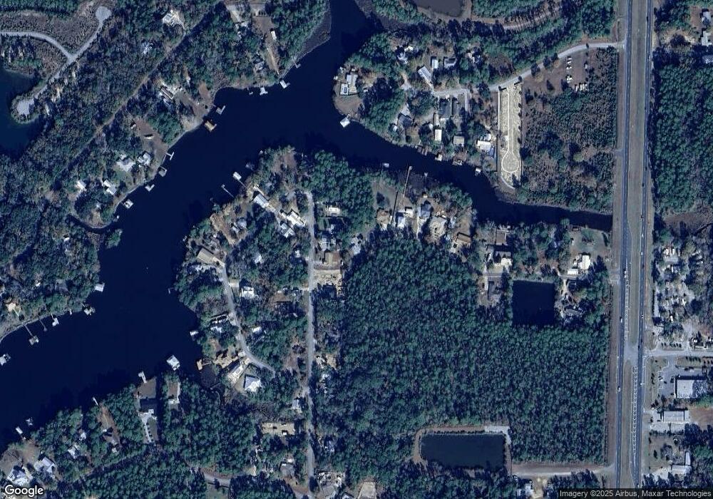
Map
Nearby Homes
- 236 Bayou Cir
- 192 Bayou Cir
- 0 Bayou Cir
- 0000 Sweetwater Ln
- TBD Mallet Bayou Rd Unit Lot 1
- 452 Mallet Bayou Rd
- Lot 26 E Bayou Forest Dr
- Lot 25 E Bayou Forest Dr
- 168 Farm Owl Dr W
- 163 Farm Owl Dr W
- 156 Farm Owl Dr W
- 151 Farm Owl Dr W
- 144 Farm Owl Dr W
- 137 Farm Owl Dr W
- 120 Farm Owl Dr W
- 115 Farm Owl Dr W
- 108 W Farm Owl Dr
- 87 Farm Owl Dr W
- 82 Farm Owl Dr W
- 67 Farm Owl Dr W
- 235 Waterside Ln
- 218 Bayou Cir
- Lot #35 Bayou Cir
- TBD Bayou Cir
- 234 Waterside Ln
- 217 Bayou Cir
- 224 Waterside Ln
- 0 Waterside Ln Unit 656351
- 315 Bayou Cir
- 274 Bayou Cir
- LOT 14 Lot 14 Waterside Dr
- 183 Bayou Cir
- 198 Waterside Ln
- Lot 1 Bayou Cir
- 34 Bayou Cir
- 161 Bayou Cir
- 186 Waterside Ln
- 280 Bayou Cir
- 134 Bayou Cir
- 351 Bayou Cir
Your Personal Tour Guide
Ask me questions while you tour the home.