381 Westside Ln Torrington, CT 06790
Estimated Value: $450,106 - $612,000
3
Beds
2
Baths
2,192
Sq Ft
$246/Sq Ft
Est. Value
About This Home
This home is located at 381 Westside Ln, Torrington, CT 06790 and is currently estimated at $538,277, approximately $245 per square foot. 381 Westside Ln is a home located in Litchfield County with nearby schools including Torrington Middle School, Torrington High School, and St. John Paul the Great Academy.
Ownership History
Date
Name
Owned For
Owner Type
Purchase Details
Closed on
Jul 6, 2010
Sold by
Laughlin Wayne and Laughlin Vanessa
Bought by
Remillard Jeffrey S and Urbanski Stefanie L
Current Estimated Value
Home Financials for this Owner
Home Financials are based on the most recent Mortgage that was taken out on this home.
Original Mortgage
$232,000
Outstanding Balance
$155,395
Interest Rate
4.88%
Estimated Equity
$382,882
Purchase Details
Closed on
Aug 27, 2007
Sold by
Dagostino Isaac
Bought by
Laughlin Wayne and Laughlin Vanessa
Home Financials for this Owner
Home Financials are based on the most recent Mortgage that was taken out on this home.
Original Mortgage
$254,000
Interest Rate
6%
Purchase Details
Closed on
Aug 15, 2006
Sold by
Dagostino Isaac
Bought by
Loper Arthur W
Purchase Details
Closed on
Dec 28, 2000
Sold by
Doyle John D
Bought by
Dagostino Isaac and Dagostino Christina
Create a Home Valuation Report for This Property
The Home Valuation Report is an in-depth analysis detailing your home's value as well as a comparison with similar homes in the area
Home Values in the Area
Average Home Value in this Area
Purchase History
| Date | Buyer | Sale Price | Title Company |
|---|---|---|---|
| Remillard Jeffrey S | $290,000 | -- | |
| Laughlin Wayne | $320,000 | -- | |
| Loper Arthur W | $33,000 | -- | |
| Dagostino Isaac | $24,900 | -- |
Source: Public Records
Mortgage History
| Date | Status | Borrower | Loan Amount |
|---|---|---|---|
| Open | Dagostino Isaac | $232,000 | |
| Closed | Dagostino Isaac | $28,950 | |
| Previous Owner | Dagostino Isaac | $254,000 |
Source: Public Records
Tax History
| Year | Tax Paid | Tax Assessment Tax Assessment Total Assessment is a certain percentage of the fair market value that is determined by local assessors to be the total taxable value of land and additions on the property. | Land | Improvement |
|---|---|---|---|---|
| 2025 | $12,335 | $320,810 | $38,640 | $282,170 |
| 2024 | $8,615 | $179,590 | $32,000 | $147,590 |
| 2023 | $8,613 | $179,590 | $32,000 | $147,590 |
| 2022 | $8,466 | $179,590 | $32,000 | $147,590 |
| 2021 | $8,292 | $179,590 | $32,000 | $147,590 |
| 2020 | $8,292 | $179,590 | $32,000 | $147,590 |
| 2019 | $8,836 | $191,390 | $35,310 | $156,080 |
| 2018 | $8,836 | $191,390 | $35,310 | $156,080 |
| 2017 | $7,684 | $167,960 | $35,310 | $132,650 |
| 2016 | $7,684 | $167,960 | $35,310 | $132,650 |
| 2015 | $7,684 | $167,960 | $35,310 | $132,650 |
| 2014 | $8,092 | $222,800 | $56,930 | $165,870 |
Source: Public Records
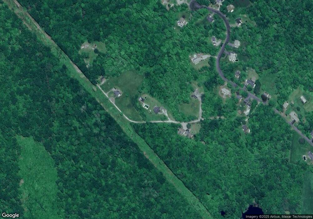
Map
Nearby Homes
- 112 Greenfield Dr
- 70 Greenfield Dr
- 1739 Weed Rd
- 80 Baron Ln
- 1657 Weed Rd
- 349 Allen Rd Unit 45D
- 68 Westledge Terrace
- 305 Westledge Dr
- 56 Reservoir Rd
- 155 Allen Rd
- 7 Ford Ln
- 85 Ford Ln
- 83 Chelsea Ct
- 0 Meadowcrest N Unit 24116337
- 12 Meadow Crest N
- 9 Meadow Crest N
- 1769 Goshen Rd
- 0 Reservoir Rd and Pie Hill Rd Rd
- 14 Meadowcrest Dr N
- 0 Highland Ave Unit 24088105
- 375 Westside Ln
- 371 Westside Ln
- 399 Westside Ln
- 361 Westside Ln
- 303 Westside Ln
- 341 Westside Ln
- 341 Westside Ln Unit To
- 417 Westside Ln
- 356 Westside Ln
- 327 Westside Ln
- 297 Westside Ln
- 400 Westside Ln
- 334 Westside Ln
- 457 Westside Ln
- 422 Westside Ln
- 294 Westside Ln
- 502 Westside Ln
- 440 Westside Ln
- 500 Westside Ln
Your Personal Tour Guide
Ask me questions while you tour the home.