381 Will Anglin Rd Burnsville, NC 28714
Estimated Value: $698,000 - $1,824,608
2
Beds
2
Baths
1,080
Sq Ft
$1,168/Sq Ft
Est. Value
About This Home
This home is located at 381 Will Anglin Rd, Burnsville, NC 28714 and is currently estimated at $1,261,304, approximately $1,167 per square foot. 381 Will Anglin Rd is a home with nearby schools including Mountain Heritage High School.
Ownership History
Date
Name
Owned For
Owner Type
Purchase Details
Closed on
May 5, 2021
Sold by
Hensley Laura Lynn Anglin
Bought by
Parker Wendy L and The Wendy L Parker Living Trus
Current Estimated Value
Home Financials for this Owner
Home Financials are based on the most recent Mortgage that was taken out on this home.
Original Mortgage
$50,000
Interest Rate
3.1%
Mortgage Type
Seller Take Back
Purchase Details
Closed on
Feb 10, 2021
Sold by
Hensley Eric Charlie
Bought by
Hensley Laura Lynn Anglin
Purchase Details
Closed on
Feb 27, 1998
Bought by
Hensley Laura L Anglin
Create a Home Valuation Report for This Property
The Home Valuation Report is an in-depth analysis detailing your home's value as well as a comparison with similar homes in the area
Home Values in the Area
Average Home Value in this Area
Purchase History
| Date | Buyer | Sale Price | Title Company |
|---|---|---|---|
| Parker Wendy L | $240,000 | None Available | |
| Hensley Laura Lynn Anglin | -- | None Available | |
| Hensley Laura L Anglin | -- | -- |
Source: Public Records
Mortgage History
| Date | Status | Borrower | Loan Amount |
|---|---|---|---|
| Closed | Parker Wendy L | $50,000 |
Source: Public Records
Tax History Compared to Growth
Tax History
| Year | Tax Paid | Tax Assessment Tax Assessment Total Assessment is a certain percentage of the fair market value that is determined by local assessors to be the total taxable value of land and additions on the property. | Land | Improvement |
|---|---|---|---|---|
| 2025 | $7,207 | $1,386,000 | $219,600 | $1,166,400 |
| 2024 | $7,207 | $1,386,000 | $219,600 | $1,166,400 |
| 2023 | $2,423 | $378,600 | $108,800 | $269,800 |
| 2022 | $568 | $91,300 | $91,300 | $0 |
| 2021 | $584 | $91,300 | $91,300 | $0 |
| 2020 | $584 | $91,300 | $91,300 | $0 |
| 2019 | $584 | $91,300 | $91,300 | $0 |
| 2018 | $584 | $91,300 | $91,300 | $0 |
| 2017 | $584 | $91,300 | $91,300 | $0 |
| 2016 | $584 | $91,300 | $91,300 | $0 |
| 2015 | $552 | $102,300 | $102,300 | $0 |
| 2014 | $552 | $102,300 | $102,300 | $0 |
Source: Public Records
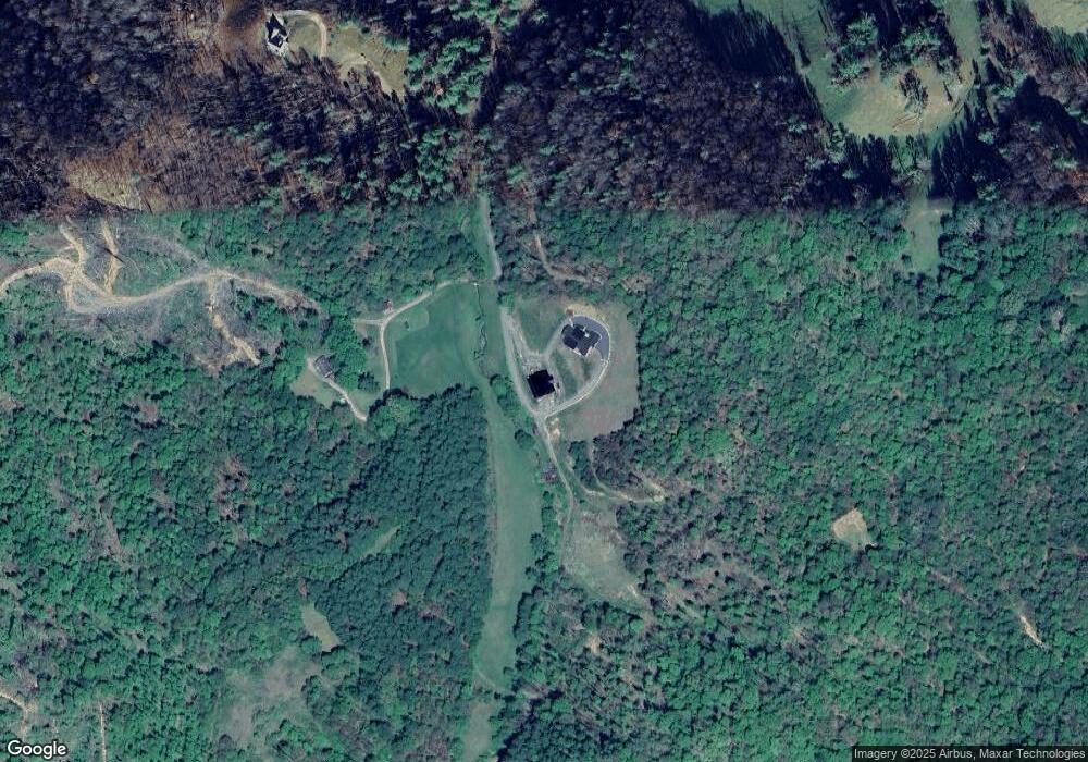
Map
Nearby Homes
- 71 Banks Creek Rd
- TBD Banks Creek Rd
- 124 Shootout Ln
- 00 Prices Creek Rd
- 456 Maney Branch Rd
- 000 Maney Branch Rd
- 456 & 000 Maney Branch Rd
- 000 Mountain Air Dr
- LOT 13 Austin Mountain Dr Unit 13/3
- 300 Dogwood Ln
- 124 W Dogwood Cir
- 456 Spring House Dr
- 324 Austin Mountain Dr
- 47 Creekside Way Unit H/102
- 47 Creekside Way Unit H/301
- 222 Creekside Way Unit D-101
- 222 Creekside Way Unit D-102
- 296 Austin Mountain Dr
- Lot 53 Mountain Air Dr Unit 53/1
- Special Parcel 1 Mountain Air Dr
- 00 Will Anglin Rd
- 150 Hopes Ln
- 174 Will Anglin Rd
- 73 Will Anglin Rd
- 41 Mystic Dr
- 952 Banks Creek Rd
- 925 Banks Creek Rd
- 1064 Banks Creek Rd
- 728 Banks Creek Rd
- 1802 Banks Creek Rd
- 114 Burleson Gap Rd
- 1878 Banks Creek Rd
- 771 Banks Creek Rd
- 1014 Banks Creek Rd
- 234 Truckers Ln
- 1178 Banks Creek Rd
- 11 Truckers Ln
- 188 Truckers Ln
- 1571 Banks Creek Rd
- 1571 Banks Creek Rd