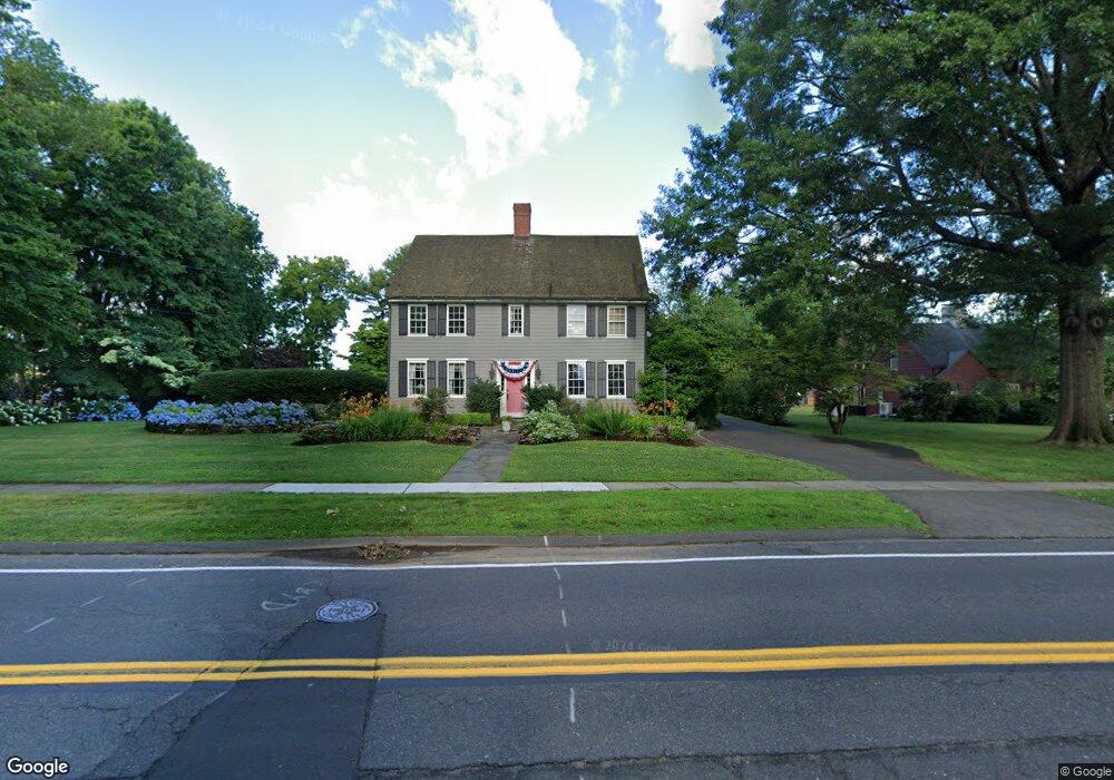
381 Wolcott Hill Rd Wethersfield, CT 06109
Estimated Value: $536,000 - $707,287
5
Beds
3
Baths
3,308
Sq Ft
$195/Sq Ft
Est. Value
About This Home
This home is located at 381 Wolcott Hill Rd, Wethersfield, CT 06109 and is currently estimated at $646,072, approximately $195 per square foot. 381 Wolcott Hill Rd is a home located in Hartford County with nearby schools including Charles Wright School, Silas Deane Middle School, and Wethersfield High School.
Ownership History
Date
Name
Owned For
Owner Type
Purchase Details
Closed on
Aug 26, 1998
Sold by
Lynch Mary C
Bought by
Walsh Stephen and Walsh Carol
Current Estimated Value
Home Financials for this Owner
Home Financials are based on the most recent Mortgage that was taken out on this home.
Original Mortgage
$226,500
Interest Rate
6.9%
Mortgage Type
Unknown
Create a Home Valuation Report for This Property
The Home Valuation Report is an in-depth analysis detailing your home's value as well as a comparison with similar homes in the area
Home Values in the Area
Average Home Value in this Area
Purchase History
| Date | Buyer | Sale Price | Title Company |
|---|---|---|---|
| Walsh Stephen | $330,000 | -- |
Source: Public Records
Mortgage History
| Date | Status | Borrower | Loan Amount |
|---|---|---|---|
| Closed | Walsh Stephen | $226,500 |
Source: Public Records
Tax History Compared to Growth
Tax History
| Year | Tax Paid | Tax Assessment Tax Assessment Total Assessment is a certain percentage of the fair market value that is determined by local assessors to be the total taxable value of land and additions on the property. | Land | Improvement |
|---|---|---|---|---|
| 2025 | $16,138 | $391,510 | $112,410 | $279,100 |
| 2024 | $11,994 | $277,520 | $68,990 | $208,530 |
| 2023 | $11,595 | $277,520 | $68,990 | $208,530 |
| 2022 | $11,401 | $277,520 | $68,990 | $208,530 |
| 2021 | $11,287 | $277,520 | $68,990 | $208,530 |
| 2020 | $11,292 | $277,520 | $68,990 | $208,530 |
| 2019 | $11,306 | $277,520 | $68,990 | $208,530 |
| 2018 | $11,321 | $277,600 | $73,000 | $204,600 |
| 2017 | $10,949 | $275,300 | $73,000 | $202,300 |
| 2016 | $10,610 | $275,300 | $73,000 | $202,300 |
| 2015 | $10,514 | $275,300 | $73,000 | $202,300 |
| 2014 | $10,115 | $275,300 | $73,000 | $202,300 |
Source: Public Records
Map
Nearby Homes
- 442 Wolcott Hill Rd
- 26 Tifton Rd
- 35 Stillwold Dr
- 193 Wolcott Hill Rd Unit 195
- 89 Longvue Dr
- 373 Wells Rd
- 108 Chamberlain Rd
- 14 Fernwood St
- 43 Dudley Rd
- 133 Wells Farm Dr
- 122 Dix Rd
- 55 Rutledge Rd
- 118 Church St
- 317 Garden St Unit 319
- 51 Olney Rd
- 48 Sharon Ln
- 140 Edward St
- 11 Yale St
- 9 Avalon Place
- 18 Avalon Place
- 395 Wolcott Hill Rd
- 375 Wolcott Hill Rd
- 401 Wolcott Hill Rd
- 16 Wintergreen Ln
- 384 Wolcott Hill Rd
- 394 Wolcott Hill Rd
- 380 Wolcott Hill Rd
- 22 Westway
- 370 Wolcott Hill Rd
- 28 Westway
- 362 Wolcott Hill Rd
- 19 Maxwell Dr
- 412 Wolcott Hill Rd
- 40 Westway
- 25 Maxwell Dr
- 11 Maxwell Dr
- 31 Maxwell Dr
- 5 Maxwell Dr
- 352 Wolcott Hill Rd