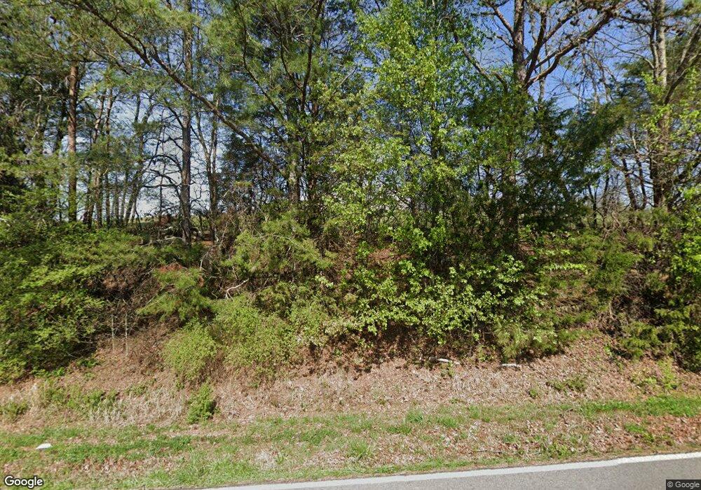
381 Wood Station Rd Rock Spring, GA 30739
Rock Spring NeighborhoodEstimated Value: $446,000 - $623,353
--
Bed
--
Bath
3,290
Sq Ft
$167/Sq Ft
Est. Value
About This Home
This home is located at 381 Wood Station Rd, Rock Spring, GA 30739 and is currently estimated at $548,784, approximately $166 per square foot. 381 Wood Station Rd is a home with nearby schools including Rock Spring Elementary School, Lafayette High School, and Alice M Daley Adventist School.
Ownership History
Date
Name
Owned For
Owner Type
Purchase Details
Closed on
Aug 19, 2024
Sold by
Mcclure Orville M
Bought by
Mcclure Lindsey N and Mcclure Orville M
Current Estimated Value
Home Financials for this Owner
Home Financials are based on the most recent Mortgage that was taken out on this home.
Original Mortgage
$440,285
Outstanding Balance
$357,288
Interest Rate
6.89%
Mortgage Type
New Conventional
Estimated Equity
$191,496
Purchase Details
Closed on
Jul 12, 1985
Bought by
Mcclure Orville C and Mcclure Elaine
Create a Home Valuation Report for This Property
The Home Valuation Report is an in-depth analysis detailing your home's value as well as a comparison with similar homes in the area
Home Values in the Area
Average Home Value in this Area
Purchase History
| Date | Buyer | Sale Price | Title Company |
|---|---|---|---|
| Mcclure Lindsey N | -- | -- | |
| Mcclure Orville C | $108,400 | -- |
Source: Public Records
Mortgage History
| Date | Status | Borrower | Loan Amount |
|---|---|---|---|
| Open | Mcclure Lindsey N | $440,285 |
Source: Public Records
Tax History Compared to Growth
Tax History
| Year | Tax Paid | Tax Assessment Tax Assessment Total Assessment is a certain percentage of the fair market value that is determined by local assessors to be the total taxable value of land and additions on the property. | Land | Improvement |
|---|---|---|---|---|
| 2024 | $4,406 | $222,274 | $33,259 | $189,015 |
| 2023 | $4,275 | $205,748 | $26,396 | $179,352 |
| 2022 | $4,041 | $184,174 | $29,187 | $154,987 |
| 2021 | $3,845 | $161,201 | $29,187 | $132,014 |
| 2020 | $3,164 | $130,793 | $29,187 | $101,606 |
| 2019 | $3,217 | $130,793 | $29,187 | $101,606 |
| 2018 | $3,461 | $130,793 | $29,187 | $101,606 |
| 2017 | $3,546 | $130,793 | $29,187 | $101,606 |
| 2016 | $2,702 | $130,088 | $29,187 | $100,901 |
| 2015 | $2,541 | $127,332 | $37,717 | $89,615 |
| 2014 | $200 | $37,717 | $37,717 | $0 |
Source: Public Records
Map
Nearby Homes
- 0 Cheshire Crossing Dr Unit 1387793
- 287 E Teems Rd
- 265 Rodeo Dr
- 0 E Teems Rd Unit 10515523
- 0 E Teems Rd Unit 7573954
- 76 Side Kick Ln
- 0 Colbert Hollow Rd Unit 1513202
- 0 Clyde Byrd Rd
- 00 Georgia 95
- 10180 Us Highway 27
- 13 Crosswinds Dr
- 193 Roy Bird Rd
- 533 Van Dell Dr
- 0 Temperance Hall Rd Unit 10506446
- 0 Temperance Hall Rd Unit 1510568
- 1003 Highway N Old 27
- 58 Willow Cir
- 1370 Old Highway 27
- 201 Van Dell Dr
- 0 Veeler Rd Unit 10628696
- 110 Mcclure Ln
- 148 Mcclure Ln
- 117 Mcclure Ln
- 557 Wood Station Rd
- 279 Mcclure Ln
- 3080 Highway 95
- 625 Wood Station Rd
- 603 Wood Station Rd
- 0 Lexington Stop Dr Unit 1215507
- 0 Lexington Stop Dr
- Lot 48 Lexington Stop Dr
- Lot 2 Lexington Stop Dr
- Lot 1 Lexington Stop Dr
- Lot 161 Lexington Stop Dr
- Lot 49 Lexington Stop Dr
- Lot 47 Lexington Stop Dr
- 390 Wood Station Rd
- 590 Wood Station Rd
- 588 Wood Station Rd
- 129 Wood Station Rd
