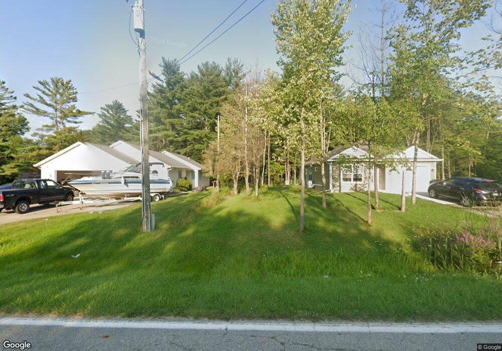
3810 Campbell Rd Fort Gratiot, MI 48059
Estimated Value: $246,000 - $296,000
--
Bed
--
Bath
1,200
Sq Ft
$226/Sq Ft
Est. Value
About This Home
This home is located at 3810 Campbell Rd, Fort Gratiot, MI 48059 and is currently estimated at $271,778, approximately $226 per square foot. 3810 Campbell Rd is a home located in St. Clair County with nearby schools including Edison Elementary School, Fort Gratiot Middle School, and Port Huron Northern High School.
Ownership History
Date
Name
Owned For
Owner Type
Purchase Details
Closed on
Sep 14, 2023
Sold by
South Angler Development Company Llc
Bought by
Fletcher David S
Current Estimated Value
Purchase Details
Closed on
Aug 9, 2023
Sold by
South Angler Development Company Llc
Bought by
Fletcher David S
Purchase Details
Closed on
Mar 4, 2022
Sold by
Maes Richard J and Maes Shirley M
Bought by
South Angler Development Company Llc
Create a Home Valuation Report for This Property
The Home Valuation Report is an in-depth analysis detailing your home's value as well as a comparison with similar homes in the area
Home Values in the Area
Average Home Value in this Area
Purchase History
| Date | Buyer | Sale Price | Title Company |
|---|---|---|---|
| Fletcher David S | $254,000 | Vanguard Title | |
| Fletcher David S | $254,000 | Vanguard Title | |
| South Angler Development Company Llc | $55,000 | Vanguard Title |
Source: Public Records
Tax History Compared to Growth
Tax History
| Year | Tax Paid | Tax Assessment Tax Assessment Total Assessment is a certain percentage of the fair market value that is determined by local assessors to be the total taxable value of land and additions on the property. | Land | Improvement |
|---|---|---|---|---|
| 2025 | $2,096 | $116,700 | $0 | $0 |
| 2024 | $2,096 | $113,100 | $0 | $0 |
| 2023 | $3,534 | $97,800 | $0 | $0 |
| 2022 | $337 | $15,800 | $0 | $0 |
| 2021 | $318 | $15,800 | $0 | $0 |
| 2020 | $318 | $12,600 | $12,600 | $0 |
| 2019 | $311 | $11,100 | $0 | $0 |
| 2018 | $304 | $11,100 | $0 | $0 |
| 2017 | $296 | $14,100 | $0 | $0 |
| 2016 | $217 | $14,100 | $0 | $0 |
| 2015 | -- | $12,600 | $12,600 | $0 |
| 2014 | -- | $12,600 | $12,600 | $0 |
| 2013 | -- | $15,800 | $0 | $0 |
Source: Public Records
Map
Nearby Homes
- 3793 Campbell Rd
- 3845 Campbell Rd
- Lot #9 Thornton Dr
- 3625 Angus Rd
- 4224 N River Rd
- 3559 Lightle Rd
- 4220 E Surrey Ln
- 4167 N River Rd
- 4570 Atkins Rd
- 4233 State Rd
- 3948 Stoney Ridge Dr
- 3993 N River Rd
- 3865 Krafft Rd
- 3971 N River Rd
- 3935 Capital Ave
- 3817 Krafft Rd
- VL North Rd
- 4361 Peck Rd
- 3230 Range Rd
- 3465 West Dr
- 3810 Campbell Rd
- 3810 Campbell Rd
- 3800 Campbell Rd
- 3780 Campbell Rd
- 3774 Campbell Rd
- 3770 Campbell Rd
- 3770 Campbell Rd
- 3770 Campbell Rd
- 3760 Campbell Rd
- 3746 Campbell Rd
- 3765 Campbell Rd
- 3765 Campbell Rd
- 3765 Campbell Rd
- 4435 Krafft Rd
- 3742 Campbell Rd
- 4425 Krafft Rd
- 3738 Campbell Rd
- 4298 Krafft Rd
- 4571 Krafft Rd
- 4030 Campbell Rd