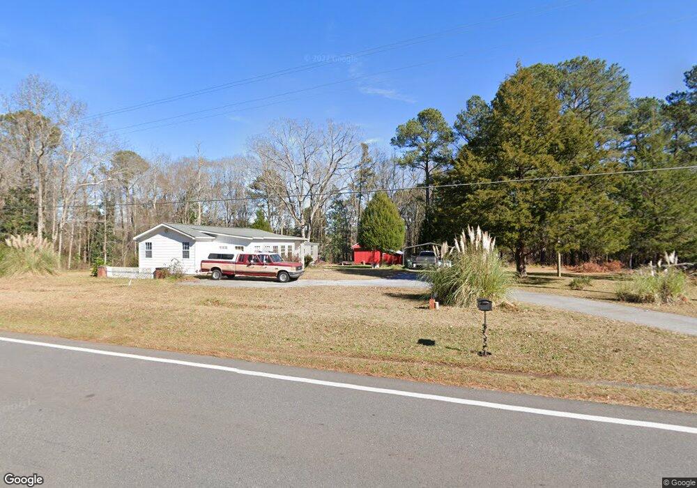
3810 Crest Hwy Thomaston, GA 30286
Estimated Value: $197,248 - $286,000
2
Beds
3
Baths
1,372
Sq Ft
$185/Sq Ft
Est. Value
About This Home
This home is located at 3810 Crest Hwy, Thomaston, GA 30286 and is currently estimated at $254,312, approximately $185 per square foot. 3810 Crest Hwy is a home located in Upson County with nearby schools including Upson-Lee South Elementary School, Upson-Lee North Elementary School, and Upson-Lee Middle School.
Ownership History
Date
Name
Owned For
Owner Type
Purchase Details
Closed on
Feb 28, 2018
Sold by
Pomfrey Herbert O
Bought by
Flanders Troy W
Current Estimated Value
Home Financials for this Owner
Home Financials are based on the most recent Mortgage that was taken out on this home.
Original Mortgage
$116,451
Outstanding Balance
$99,408
Interest Rate
4.22%
Mortgage Type
VA
Estimated Equity
$154,565
Create a Home Valuation Report for This Property
The Home Valuation Report is an in-depth analysis detailing your home's value as well as a comparison with similar homes in the area
Home Values in the Area
Average Home Value in this Area
Purchase History
| Date | Buyer | Sale Price | Title Company |
|---|---|---|---|
| Flanders Troy W | $114,000 | -- |
Source: Public Records
Mortgage History
| Date | Status | Borrower | Loan Amount |
|---|---|---|---|
| Open | Flanders Troy W | $116,451 |
Source: Public Records
Tax History Compared to Growth
Tax History
| Year | Tax Paid | Tax Assessment Tax Assessment Total Assessment is a certain percentage of the fair market value that is determined by local assessors to be the total taxable value of land and additions on the property. | Land | Improvement |
|---|---|---|---|---|
| 2024 | $1,158 | $54,381 | $15,222 | $39,159 |
| 2023 | $1,074 | $52,893 | $15,222 | $37,671 |
| 2022 | $790 | $38,035 | $8,947 | $29,088 |
| 2021 | $651 | $34,219 | $8,947 | $25,272 |
| 2020 | $646 | $32,259 | $8,259 | $24,000 |
| 2019 | $650 | $30,339 | $8,259 | $22,080 |
| 2018 | $406 | $22,390 | $8,259 | $14,131 |
| 2017 | $382 | $20,297 | $8,259 | $12,038 |
| 2016 | $323 | $18,421 | $6,882 | $11,539 |
| 2015 | $237 | $15,890 | $6,882 | $9,008 |
| 2014 | $328 | $18,570 | $9,562 | $9,008 |
Source: Public Records
Map
Nearby Homes
- 0 Ellerbeetown Rd Unit 10599300
- 975 Thurston School Rd
- 30 Grandview Dr
- 105 Alexandria Way
- 101 Alexandria Way
- 28 Beverly Ln
- 2971 Crest Hwy
- 0 Barouche Dr Unit 10597016
- 168 Shadow Wood Ln
- 410 Irvin Rd
- 0 Crest Hwy Unit 10563363
- 0 Crest Hwy Unit 10563371
- 0 Firetower Rd Unit 10615379
- 686 Burkett Rd
- 575 Skelton Rd
- 1730 Roland Rd
- 36 ACRES Firetower Rd
- 735 Firetower Rd
- 146 Burkett Rd
- 1600 Firetower Rd
- 0 Glencliff Rd Unit 2 8271814
- 0 Glencliff Rd Unit 2 8125142
- 0 Glencliff Rd Unit 3 8125128
- 0 Glencliff Rd Unit 1 8130317
- 0 Glencliff Rd Unit 2 8501194
- 10 Glencliff Rd
- 107 Oak Forest Dr
- 5 Glencliff Rd
- 38 Glencliff Rd
- 117 Oak Forest Dr
- 108 Oak Forest Dr
- 129 Oak Forest Dr
- 3867 Crest Hwy
- 120 Oak Forest Dr
- 144 Oak Forest Dr
- 3877 Crest Hwy
- 3867 Cresent Hwy Unit 8
- 3867 Cresent Hwy
- 53 Glencliff Rd
- 139 Oak Forest Dr