Estimated Value: $679,000 - $774,000
4
Beds
3
Baths
3,072
Sq Ft
$235/Sq Ft
Est. Value
About This Home
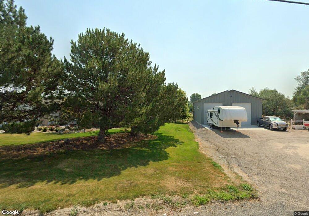
This home is located at 3810 N 2500 E, Filer, ID 83328 and is currently estimated at $721,192, approximately $234 per square foot. 3810 N 2500 E is a home located in Twin Falls County with nearby schools including Lincoln Elementary School, South Hills Middle School, and Canyon Ridge High School.
Ownership History
Date
Name
Owned For
Owner Type
Purchase Details
Closed on
Apr 28, 2009
Sold by
Campbell Mary E
Bought by
Campbell Bob D
Current Estimated Value
Home Financials for this Owner
Home Financials are based on the most recent Mortgage that was taken out on this home.
Original Mortgage
$225,000
Outstanding Balance
$140,999
Interest Rate
5.02%
Mortgage Type
New Conventional
Estimated Equity
$580,193
Purchase Details
Closed on
Feb 26, 2007
Sold by
London Michael and London Lynda
Bought by
Campbell Bob D
Purchase Details
Closed on
Jan 20, 2006
Sold by
Campbell Bob D
Bought by
Campbell Bob D
Create a Home Valuation Report for This Property
The Home Valuation Report is an in-depth analysis detailing your home's value as well as a comparison with similar homes in the area
Purchase History
| Date | Buyer | Sale Price | Title Company |
|---|---|---|---|
| Campbell Bob D | -- | -- | |
| Campbell Bob D | -- | First American Title Co | |
| Campbell Bob D | -- | -- |
Source: Public Records
Mortgage History
| Date | Status | Borrower | Loan Amount |
|---|---|---|---|
| Open | Campbell Bob D | $225,000 |
Source: Public Records
Tax History
| Year | Tax Paid | Tax Assessment Tax Assessment Total Assessment is a certain percentage of the fair market value that is determined by local assessors to be the total taxable value of land and additions on the property. | Land | Improvement |
|---|---|---|---|---|
| 2025 | $2,616 | $583,891 | $152,216 | $431,675 |
| 2024 | $2,687 | $591,030 | $152,216 | $438,814 |
| 2023 | $2,303 | $562,331 | $152,216 | $410,115 |
| 2022 | $2,530 | $467,360 | $83,352 | $384,008 |
| 2021 | $2,446 | $375,606 | $60,239 | $315,367 |
| 2020 | $2,447 | $322,310 | $48,959 | $273,351 |
| 2019 | $2,446 | $307,078 | $48,959 | $258,119 |
| 2018 | $2,418 | $296,828 | $48,959 | $247,869 |
| 2017 | $2,226 | $279,852 | $48,959 | $230,893 |
| 2016 | $2,333 | $273,177 | $0 | $0 |
| 2015 | $2,354 | $273,177 | $48,959 | $224,218 |
| 2012 | -- | $247,584 | $0 | $0 |
Source: Public Records
Map
Nearby Homes
- 2468 E 3805 N
- 2531 E 3769 N
- 2531 E E 3769 N
- 2542 E 3753
- 2548 E 3753
- 2545 E 3753
- 3778 N 2555 E
- 2533 E 3759
- 2541 E 3759
- 2464 E 3719 N
- 0 Lot 9 Block 1 Unit 98932745
- Lot 8, Block 1
- 0 Lot 1 Block 1 Unit 98932739
- 0 Lot 4 Block 1 Unit 98932744
- 0 Lot 3 Block 1 Unit 98932742
- 2534 4000 N
- 176 Idaho 74
- 3940 N 2300 E
- 2342 Garey Ln
- 1235 S Park Ave W
Your Personal Tour Guide
Ask me questions while you tour the home.