3811 Hillsdale Dr Auburn Hills, MI 48326
Estimated Value: $464,000 - $498,000
3
Beds
3
Baths
1,690
Sq Ft
$281/Sq Ft
Est. Value
About This Home
This home is located at 3811 Hillsdale Dr, Auburn Hills, MI 48326 and is currently estimated at $474,339, approximately $280 per square foot. 3811 Hillsdale Dr is a home located in Oakland County with nearby schools including Rogers Elementary, Pontiac Middle School, and Pontiac High School.
Ownership History
Date
Name
Owned For
Owner Type
Purchase Details
Closed on
Dec 15, 2011
Sold by
Deronne Lawrence E and Deronne Mary A
Bought by
Deronne Lawrence E and Deronne Mary A
Current Estimated Value
Purchase Details
Closed on
Jan 25, 2002
Sold by
Heritage Of Auburn Hills
Bought by
Deronne Lawrence E
Home Financials for this Owner
Home Financials are based on the most recent Mortgage that was taken out on this home.
Original Mortgage
$163,000
Interest Rate
6.93%
Create a Home Valuation Report for This Property
The Home Valuation Report is an in-depth analysis detailing your home's value as well as a comparison with similar homes in the area
Home Values in the Area
Average Home Value in this Area
Purchase History
| Date | Buyer | Sale Price | Title Company |
|---|---|---|---|
| Deronne Lawrence E | -- | None Available | |
| Smolinski Ann M | -- | None Available | |
| Deronne Lawrence E | $290,646 | -- |
Source: Public Records
Mortgage History
| Date | Status | Borrower | Loan Amount |
|---|---|---|---|
| Previous Owner | Deronne Lawrence E | $163,000 |
Source: Public Records
Tax History Compared to Growth
Tax History
| Year | Tax Paid | Tax Assessment Tax Assessment Total Assessment is a certain percentage of the fair market value that is determined by local assessors to be the total taxable value of land and additions on the property. | Land | Improvement |
|---|---|---|---|---|
| 2024 | $2,078 | $206,530 | $0 | $0 |
| 2023 | $1,983 | $182,380 | $0 | $0 |
| 2022 | $3,502 | $164,980 | $0 | $0 |
| 2021 | $3,445 | $162,130 | $0 | $0 |
| 2020 | $1,866 | $158,250 | $0 | $0 |
| 2019 | $3,161 | $156,240 | $0 | $0 |
| 2018 | $3,092 | $161,540 | $0 | $0 |
| 2017 | $2,748 | $149,650 | $0 | $0 |
| 2016 | $2,729 | $137,890 | $0 | $0 |
| 2015 | -- | $122,380 | $0 | $0 |
| 2014 | -- | $101,200 | $0 | $0 |
| 2011 | -- | $87,340 | $0 | $0 |
Source: Public Records
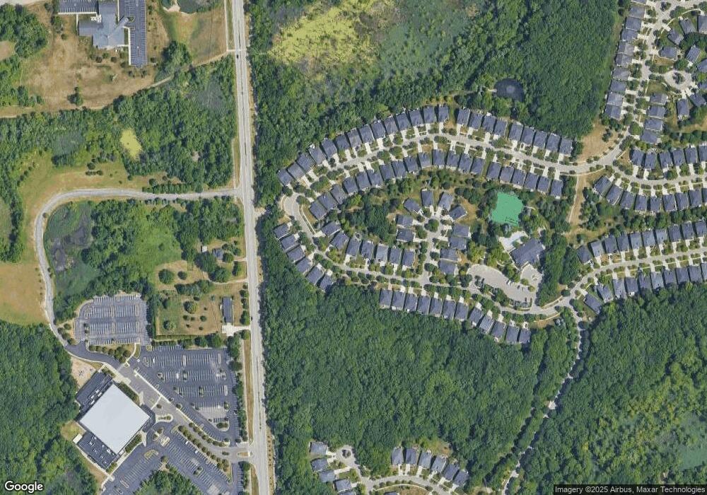
Map
Nearby Homes
- 4035 Hillsdale Dr Unit 275
- 3534 Riverside Dr Unit 141
- 3640 Camden Ct
- 3634 Camden Ct
- 3780 Bald Mountain Rd
- 3633 Thornwood Dr
- 3879 Teakwood Ln
- 3674 Merriweather Ln
- 3095 Bridgewater Rd Unit 30
- 3057 Bridgewater Rd
- 3111 Ramzi Ln
- 423 Silvervale Dr
- 1906 Independence Ct
- 5700 Rolling Hills Dr
- 3101 Elstead St
- 2638 Patrick Henry Rd
- 3639 Heatherwood Ct
- 2530 Patrick Henry St
- 3273 Salem Dr
- 3164 Bookham Cir
- 3813 Hillsdale Dr
- 3807 Hillsdale Dr
- 3805 Hillsdale Dr Unit 278
- 3815 Hillsdale Dr
- 3817 Hillsdale Dr Unit 86
- 3821 Springwood Ct Unit 84
- 4037 Hillsdale Dr Unit 276
- 3819 Hillsdale Dr
- 3819 Hillsdale Dr Unit 85
- 4039 Hillsdale Dr Unit 277
- 3823 Springwood Ct
- 3808 Hillsdale Dr
- 3810 Hillsdale Dr
- 4031 Hillsdale Dr
- 3806 Hillsdale Dr Unit 255
- 3816 Hillsdale Dr
- 3825 Springwood Ct
- 3825 Springwood Ct Unit 82
- 4029 Hillsdale Dr Unit 272
- 3802 Hillsdale Dr Unit 253