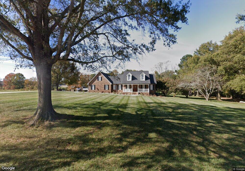
3811 Nesbit Rd Monroe, NC 28112
Estimated Value: $566,112 - $595,000
3
Beds
4
Baths
2,613
Sq Ft
$223/Sq Ft
Est. Value
About This Home
This home is located at 3811 Nesbit Rd, Monroe, NC 28112 and is currently estimated at $583,704, approximately $223 per square foot. 3811 Nesbit Rd is a home located in Union County with nearby schools including Western Union Elementary School, Parkwood Middle School, and Parkwood High School.
Ownership History
Date
Name
Owned For
Owner Type
Purchase Details
Closed on
Nov 14, 2012
Sold by
Tyson Timothy Mark
Bought by
Tyson Timothy Mark
Current Estimated Value
Home Financials for this Owner
Home Financials are based on the most recent Mortgage that was taken out on this home.
Original Mortgage
$122,500
Interest Rate
3.43%
Mortgage Type
New Conventional
Create a Home Valuation Report for This Property
The Home Valuation Report is an in-depth analysis detailing your home's value as well as a comparison with similar homes in the area
Purchase History
| Date | Buyer | Sale Price | Title Company |
|---|---|---|---|
| Tyson Timothy Mark | -- | None Available |
Source: Public Records
Mortgage History
| Date | Status | Borrower | Loan Amount |
|---|---|---|---|
| Closed | Tyson Timothy Mark | $122,500 |
Source: Public Records
Tax History
| Year | Tax Paid | Tax Assessment Tax Assessment Total Assessment is a certain percentage of the fair market value that is determined by local assessors to be the total taxable value of land and additions on the property. | Land | Improvement |
|---|---|---|---|---|
| 2025 | $2,830 | $587,600 | $0 | $0 |
| 2024 | $2,278 | $354,100 | $48,100 | $306,000 |
| 2023 | $2,246 | $354,100 | $48,100 | $306,000 |
| 2022 | $2,246 | $354,100 | $48,100 | $306,000 |
| 2021 | $2,232 | $354,100 | $48,100 | $306,000 |
| 2020 | $1,707 | $221,320 | $22,320 | $199,000 |
| 2019 | $1,740 | $221,320 | $22,320 | $199,000 |
| 2018 | $1,740 | $221,320 | $22,320 | $199,000 |
| 2017 | $1,854 | $221,300 | $22,300 | $199,000 |
| 2016 | $1,793 | $221,320 | $22,320 | $199,000 |
| 2015 | $1,823 | $221,320 | $22,320 | $199,000 |
| 2014 | $1,687 | $242,270 | $39,680 | $202,590 |
Source: Public Records
Map
Nearby Homes
- 0 Nesbit Rd Unit CAR4290917
- 4924 Parkwood School Rd
- 0 Parkwood School Rd
- 5904 Mcwhorter Rd
- 4105 Parkwood School Rd
- 4607 Nesbit Rd
- 219 Barra Dr
- 110 Serenity Creek Dr
- 106 Serenity Creek Dr
- 6404 Lancaster Hwy
- 01 Lancaster Hwy
- 6419 Lancaster Hwy Unit 9, 19
- 6815 Old Waxhaw Monroe Rd Unit 1
- 7513 Lancaster Hwy Unit 6
- 7517 Lancaster Hwy Unit 5
- 5916 Newell Dr
- 0 Potter Rd S Unit 1 CAR4189512
- 0 Potter Rd S Unit 2
- 0 Potter Rd S Unit 3 CAR4189516
- 0 Potter Rd S Unit CAR4189519
- 3605 Nesbit Rd
- 00 Nesbit Rd
- 3502 Nesbit Rd
- 3524 Nesbit Rd
- 3522 Nesbit Rd
- 4603 Parkwood School Rd
- 5405 Potter Rd S
- 4519 Parkwood School Rd
- 4321 Parkwood School Rd
- 5308 Potter Rd S
- 4319 Parkwood School Rd
- 4520 Parkwood School Rd
- 30ac Nesbit Rd
- 54ac Nesbit Rd
- #2 Nesbit Rd
- 4508 Parkwood School Rd
- 6024 Mcwhorter Rd
- 4614 Parkwood School Rd
- 6104 Potter Rd S
- 4202 Nesbit Rd
Your Personal Tour Guide
Ask me questions while you tour the home.