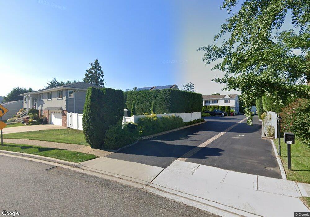
3811 Voorhis Ln Unit 2nd Fl Seaford, NY 11783
Estimated Value: $1,019,000 - $1,040,233
3
Beds
1
Bath
2,844
Sq Ft
$362/Sq Ft
Est. Value
About This Home
This home is located at 3811 Voorhis Ln Unit 2nd Fl, Seaford, NY 11783 and is currently estimated at $1,029,617, approximately $362 per square foot. 3811 Voorhis Ln Unit 2nd Fl is a home located in Nassau County with nearby schools including Seaford Middle School, Seaford Senior High School, and Maria Regina Elementary School.
Ownership History
Date
Name
Owned For
Owner Type
Purchase Details
Closed on
Feb 25, 2015
Sold by
Zaffetti Michael and Falzarano Laura
Bought by
3811 Voorhis Lane Corp
Current Estimated Value
Purchase Details
Closed on
Apr 1, 2014
Sold by
Freudenthal Albert K
Bought by
Saffetti Michael and Falzarano Laura
Home Financials for this Owner
Home Financials are based on the most recent Mortgage that was taken out on this home.
Original Mortgage
$450,000
Interest Rate
4.26%
Mortgage Type
Purchase Money Mortgage
Create a Home Valuation Report for This Property
The Home Valuation Report is an in-depth analysis detailing your home's value as well as a comparison with similar homes in the area
Home Values in the Area
Average Home Value in this Area
Purchase History
| Date | Buyer | Sale Price | Title Company |
|---|---|---|---|
| 3811 Voorhis Lane Corp | -- | Fidelity National Title | |
| Saffetti Michael | $500,000 | -- |
Source: Public Records
Mortgage History
| Date | Status | Borrower | Loan Amount |
|---|---|---|---|
| Previous Owner | Saffetti Michael | $450,000 |
Source: Public Records
Tax History Compared to Growth
Tax History
| Year | Tax Paid | Tax Assessment Tax Assessment Total Assessment is a certain percentage of the fair market value that is determined by local assessors to be the total taxable value of land and additions on the property. | Land | Improvement |
|---|---|---|---|---|
| 2025 | $19,146 | $641 | $238 | $403 |
| 2024 | $4,531 | $631 | $234 | $397 |
| 2023 | $16,262 | $661 | $245 | $416 |
| 2022 | $16,262 | $661 | $245 | $416 |
| 2021 | $20,009 | $746 | $259 | $487 |
| 2020 | $22,097 | $879 | $530 | $349 |
| 2019 | $16,105 | $942 | $520 | $422 |
| 2018 | $16,378 | $1,005 | $0 | $0 |
| 2017 | $11,214 | $1,006 | $568 | $438 |
| 2016 | $15,788 | $1,006 | $540 | $466 |
| 2015 | $3,788 | $1,006 | $540 | $466 |
| 2014 | $3,788 | $1,006 | $540 | $466 |
| 2013 | $3,726 | $1,059 | $568 | $491 |
Source: Public Records
Map
Nearby Homes
- 3771 Jerusalem Ave
- 3783 Charlotte Ct
- 1441 Roth Rd
- 3888 Mill Rd
- 3737 Maxwell Dr
- 3914 Jerusalem Ave
- 3694 Maxwell Dr
- 3773 Arthur Ave W
- 3633 Summer Dr
- 3975 Anne Dr
- 1427 Washington Ave
- 1420 Poulson St
- 3592 Southview Ave
- 4030 Jerusalem Ave Unit 1B
- 3902 Beechwood Place
- 3562 Southview Ave
- 3556 Centerview Ave
- 1144 Greenway Ct
- 1555 Henry Rd
- 3860 Maplewood Dr
- 3811 Voorhis Ln
- 3807 Voorhis Ln
- 3813 Voorhis Ln
- 3813 Voorhis Ln
- 3815 Voorhis Ln
- 1346 Sidney Ct
- 1399 Sidney Ct
- 1388 Field Ln
- 1350 Sidney Ct
- 1382 Field Ln
- 3825 Voorhis Ln
- 1411 Sidney Ct
- 1391 Sidney Ct
- 1354 Sidney Ct
- 3816 Voorhis Ln
- 1400 Sidney Ct
- 3822 Voorhis Ln
- 1385 Sidney Ct
- 1358 Sidney Ct
- 1380 Field Ln