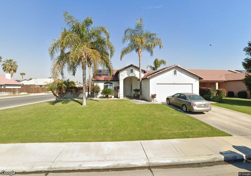
3812 Amherst Forest Rd Bakersfield, CA 93313
Stonegate NeighborhoodEstimated Value: $375,000 - $392,000
4
Beds
2
Baths
1,436
Sq Ft
$267/Sq Ft
Est. Value
About This Home
This home is located at 3812 Amherst Forest Rd, Bakersfield, CA 93313 and is currently estimated at $382,953, approximately $266 per square foot. 3812 Amherst Forest Rd is a home located in Kern County with nearby schools including Berkshire Elementary School, Stonecreek Junior High School, and Ridgeview High School.
Ownership History
Date
Name
Owned For
Owner Type
Purchase Details
Closed on
Dec 10, 2001
Sold by
Stuart Thomas Inc
Bought by
Daniel Richie
Current Estimated Value
Home Financials for this Owner
Home Financials are based on the most recent Mortgage that was taken out on this home.
Original Mortgage
$127,439
Outstanding Balance
$49,797
Interest Rate
6.57%
Mortgage Type
FHA
Estimated Equity
$333,156
Purchase Details
Closed on
Aug 10, 2001
Sold by
Normal Development Corp
Bought by
Stuart Thomas Inc and Lenox Homes
Home Financials for this Owner
Home Financials are based on the most recent Mortgage that was taken out on this home.
Original Mortgage
$97,000
Interest Rate
7.19%
Mortgage Type
Construction
Create a Home Valuation Report for This Property
The Home Valuation Report is an in-depth analysis detailing your home's value as well as a comparison with similar homes in the area
Home Values in the Area
Average Home Value in this Area
Purchase History
We collect this data history from publicly available records. To have your information removed, we recommend requesting removal directly through your county’s website.
| Date | Buyer | Sale Price | Title Company |
|---|---|---|---|
| Daniel Richie | $129,500 | Fidelity National Title Co | |
| Stuart Thomas Inc | $25,000 | Fidelity National Title Co |
Source: Public Records
Mortgage History
We collect this data history from publicly available records. To have your information removed, we recommend requesting removal directly through your county’s website.
| Date | Status | Borrower | Loan Amount |
|---|---|---|---|
| Open | Daniel Richie | $127,439 | |
| Previous Owner | Stuart Thomas Inc | $97,000 |
Source: Public Records
Tax History
| Year | Tax Paid | Tax Assessment Tax Assessment Total Assessment is a certain percentage of the fair market value that is determined by local assessors to be the total taxable value of land and additions on the property. | Land | Improvement |
|---|---|---|---|---|
| 2025 | $3,237 | $217,332 | $44,305 | $173,027 |
| 2024 | $3,180 | $213,072 | $43,437 | $169,635 |
| 2023 | $3,180 | $208,896 | $42,586 | $166,310 |
| 2022 | $3,052 | $204,801 | $41,751 | $163,050 |
| 2021 | $2,934 | $200,787 | $40,933 | $159,854 |
| 2020 | $2,883 | $198,730 | $40,514 | $158,216 |
| 2019 | $2,841 | $198,730 | $40,514 | $158,216 |
| 2018 | $2,725 | $191,016 | $38,942 | $152,074 |
| 2017 | $2,676 | $187,272 | $38,179 | $149,093 |
| 2016 | $2,528 | $183,602 | $37,431 | $146,171 |
| 2015 | $2,509 | $180,846 | $36,869 | $143,977 |
| 2014 | $2,447 | $177,305 | $36,147 | $141,158 |
Source: Public Records
Map
Nearby Homes
- 3921 White Sands Dr
- 7319 Chilibre St
- 4206 Berkshire Rd
- 3802 Windflower Ave
- 4110 Serene Oak Dr Unit 4
- 6510 Summer Breeze Ln
- 4202 Silver Maple Ct Unit 3
- 4200 Mattnick Dr
- 4102 Sierra Redwood Dr Unit 2
- 4216 Mattnick Dr
- 4315 Serene Oak Dr
- 7418 Wible Rd
- 3158 Berkshire Rd
- 4121 Rio Viejo Dr
- 4517 Kaytlain Ave
- 7500 Wible Rd
- 6351 Akers Rd Unit 74
- 6351 Akers Rd Unit 91
- 6351 Akers Rd Unit 107
- 6351 Akers Rd
- 3808 Amherst Forest Rd
- 3804 Amherst Forest Rd
- 3815 White Sands Dr
- 3902 Amherst Forest Rd
- 3811 White Sands Dr
- 3800 Amherst Forest Rd
- 3901 White Sands Dr
- 3807 White Sands Dr
- 3813 Amherst Forest Rd
- 3817 Amherst Forest Rd
- 3906 Amherst Forest Rd
- 3809 Amherst Forest Rd
- 3821 Amherst Forest Rd
- 3805 Amherst Forest Rd
- 3803 White Sands Dr
- 3714 Amherst Forest Rd
- 3909 White Sands Dr
- 3903 Amherst Forest Rd
- 3801 Amherst Forest Rd
- 3910 Amherst Forest Rd
Your Personal Tour Guide
Ask me questions while you tour the home.