3812 Lummi Park Rd Lummi Island, WA 98262
Estimated Value: $925,000 - $1,448,995
2
Beds
2
Baths
1,772
Sq Ft
$716/Sq Ft
Est. Value
About This Home
This home is located at 3812 Lummi Park Rd, Lummi Island, WA 98262 and is currently estimated at $1,268,998, approximately $716 per square foot. 3812 Lummi Park Rd is a home with nearby schools including Beach Elementary School, Vista Middle School, and Ferndale High School.
Ownership History
Date
Name
Owned For
Owner Type
Purchase Details
Closed on
Jan 23, 2019
Sold by
Sharpe Philip E and Sharpe Susan K
Bought by
Hammes Micahel and Hammes Wendy
Current Estimated Value
Home Financials for this Owner
Home Financials are based on the most recent Mortgage that was taken out on this home.
Original Mortgage
$693,750
Outstanding Balance
$609,948
Interest Rate
4.6%
Mortgage Type
New Conventional
Estimated Equity
$659,050
Purchase Details
Closed on
Jan 23, 2014
Sold by
Sharpe Philip E and Sharpe Susan K
Bought by
Sharpe Philip E and Sharpe Susan K
Create a Home Valuation Report for This Property
The Home Valuation Report is an in-depth analysis detailing your home's value as well as a comparison with similar homes in the area
Home Values in the Area
Average Home Value in this Area
Purchase History
| Date | Buyer | Sale Price | Title Company |
|---|---|---|---|
| Hammes Micahel | $905,000 | Whatcom Land Title | |
| Sharpe Philip E | -- | None Available |
Source: Public Records
Mortgage History
| Date | Status | Borrower | Loan Amount |
|---|---|---|---|
| Open | Hammes Micahel | $693,750 |
Source: Public Records
Tax History Compared to Growth
Tax History
| Year | Tax Paid | Tax Assessment Tax Assessment Total Assessment is a certain percentage of the fair market value that is determined by local assessors to be the total taxable value of land and additions on the property. | Land | Improvement |
|---|---|---|---|---|
| 2024 | $11,859 | $1,487,011 | $752,160 | $734,851 |
| 2023 | $11,859 | $1,576,134 | $797,240 | $778,894 |
| 2022 | $10,455 | $1,318,967 | $667,160 | $651,807 |
| 2021 | $8,985 | $1,063,698 | $538,040 | $525,658 |
| 2020 | $8,970 | $871,851 | $441,000 | $430,851 |
| 2019 | $6,549 | $790,795 | $400,000 | $390,795 |
| 2018 | $7,179 | $666,742 | $377,919 | $288,823 |
| 2017 | $6,720 | $559,713 | $317,250 | $242,463 |
| 2016 | $6,646 | $550,892 | $311,850 | $239,042 |
| 2015 | $6,152 | $538,450 | $306,450 | $232,000 |
| 2014 | -- | $492,678 | $280,800 | $211,878 |
| 2013 | -- | $471,214 | $270,000 | $201,214 |
Source: Public Records
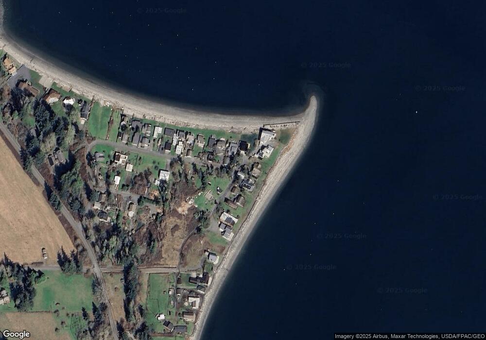
Map
Nearby Homes
- 2589 Lummi View Dr
- 3456 Emma Rd
- 2625 Lummi View Dr
- 4065 Sunny Hill Ln
- 2579 Finkbonner Rd
- 2560 Lummi View Dr
- 3440 Emma Rd
- 2552 Lummi View Dr
- 2093 Granger Way
- 2533 Island View Ln
- 2879 N Nugent Rd Unit H8
- 2877 N Nugent Rd Unit M4
- 2591 Taft Dr
- 2579 W Shore Dr
- 3965 Legoe Bay Rd
- 2383 W Shore Dr
- 2395 W Shore Dr
- 0 Taft Dr
- 16 xx S Nugent Rd
- 3003 Haxton Way
- 3810 Lummi Park Rd
- 3816 Lummi Park Rd
- 3806 Lummi Park Dr
- 3830 Lane Spit Dr
- 3826 Lane Spit Dr
- 3806 Lummi Park Dr
- 3836 Lane Spit Dr
- 3820 Baker Dr
- 3838 Lane Spit Dr
- 3798 Lummi Park Rd
- 3840 Lane Spit Dr
- 3794 Lummi Park Dr
- 3844 Lane Spit Dr
- 3848 Lane Spit Dr
- 3800 Blizard Rd
- 3852 Lane Spit Dr
- 3856 Lane Spit Dr
- 3858 Lane Spit Dr
- 3878 Lane Spit Dr
- 3873 Dorothy Way