38125 B St Marcola, OR 97454
Estimated Value: $298,000 - $372,000
2
Beds
1
Bath
1,211
Sq Ft
$267/Sq Ft
Est. Value
About This Home
This home is located at 38125 B St, Marcola, OR 97454 and is currently estimated at $323,249, approximately $266 per square foot. 38125 B St is a home located in Lane County with nearby schools including Marcola Elementary School and Mohawk High School.
Ownership History
Date
Name
Owned For
Owner Type
Purchase Details
Closed on
Apr 7, 2015
Sold by
Yarbrough William E and Yarbrough Lisa M
Bought by
Yarbrough William E
Current Estimated Value
Purchase Details
Closed on
Jan 28, 2014
Sold by
Blankenship Andrew S
Bought by
Yarbrough William E and Yarbrough Lisa M
Purchase Details
Closed on
Dec 21, 2009
Sold by
Rue Jacqueline
Bought by
Blankenship Andrew S
Home Financials for this Owner
Home Financials are based on the most recent Mortgage that was taken out on this home.
Original Mortgage
$112,917
Interest Rate
4.88%
Mortgage Type
FHA
Purchase Details
Closed on
Sep 5, 2003
Sold by
Jaques Walter G and Jaques Betty J
Bought by
Hummel Hella
Create a Home Valuation Report for This Property
The Home Valuation Report is an in-depth analysis detailing your home's value as well as a comparison with similar homes in the area
Home Values in the Area
Average Home Value in this Area
Purchase History
| Date | Buyer | Sale Price | Title Company |
|---|---|---|---|
| Yarbrough William E | -- | Western Title & Escrow Co | |
| Yarbrough William E | $68,000 | Western Title & Escrow | |
| Blankenship Andrew S | $115,000 | Fidelity National Title Insu | |
| Hummel Hella | $93,893 | Western Pioneer Title Co |
Source: Public Records
Mortgage History
| Date | Status | Borrower | Loan Amount |
|---|---|---|---|
| Previous Owner | Blankenship Andrew S | $112,917 |
Source: Public Records
Tax History Compared to Growth
Tax History
| Year | Tax Paid | Tax Assessment Tax Assessment Total Assessment is a certain percentage of the fair market value that is determined by local assessors to be the total taxable value of land and additions on the property. | Land | Improvement |
|---|---|---|---|---|
| 2025 | $1,468 | $117,262 | -- | -- |
| 2024 | $1,434 | $113,847 | -- | -- |
| 2023 | $1,434 | $110,532 | $0 | $0 |
| 2022 | $1,325 | $107,313 | $0 | $0 |
| 2021 | $1,294 | $104,188 | $0 | $0 |
| 2020 | $1,256 | $101,154 | $0 | $0 |
| 2019 | $1,214 | $98,208 | $0 | $0 |
| 2018 | $1,178 | $92,571 | $0 | $0 |
| 2017 | $1,090 | $92,571 | $0 | $0 |
| 2016 | $1,065 | $89,875 | $0 | $0 |
| 2015 | $1,046 | $87,257 | $0 | $0 |
| 2014 | -- | $84,716 | $0 | $0 |
Source: Public Records
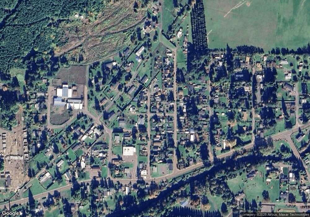
Map
Nearby Homes
- 38058 Railroad Ln
- 38216 Wendling Rd
- 0 Wendling Rd
- 38497 Wendling Rd
- 92020 Maple Ln
- 0 Cascade Woods Dr Unit 24194354
- 93099 Marcola Rd
- 37082 Goats Rd
- 0 Boiler Creek Rd
- 91375 Marcola Rd
- 90948 Sunderman Rd
- 37186 Tree Farm Rd
- 0 McGowan Creek Rd Unit 23316316
- 93933 Marcola Rd
- 0 Alder Branch Rd Unit 610990611
- 0 Shotgun Creek Rd
- 90402 Marcola Rd
- 0 Hill Rd
- 36589 Alder Branch Rd
- 0 Upper Camp Creek Rd Unit 734099093
- 92257 Savage St
- 38129 B St
- 38126 B St
- 92246 Savage St
- 92259 Savage St Unit 5500
- 92259 Savage St
- 38132 B St
- 92262 Carson St
- 38108 A St
- 38103 B St
- 92222 Carson St
- 92247 Carson St
- 92238 Treston Ln
- 92272 Carson St
- 92257 Carson St
- 92233 Carson St
- 38110 A St
- 92216 Carson St
- 92278 Carson St
- 92221 Carson St