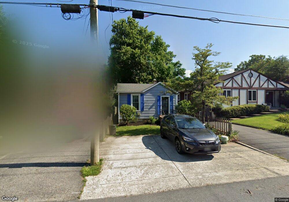
3813 Decatur Ave Kensington, MD 20895
North Kensington NeighborhoodEstimated Value: $346,462 - $475,000
--
Bed
1
Bath
585
Sq Ft
$719/Sq Ft
Est. Value
About This Home
This home is located at 3813 Decatur Ave, Kensington, MD 20895 and is currently estimated at $420,616, approximately $719 per square foot. 3813 Decatur Ave is a home located in Montgomery County with nearby schools including Mancelona Middle School, Rock View Elementary School, and Newport Mill Middle School.
Ownership History
Date
Name
Owned For
Owner Type
Purchase Details
Closed on
Mar 28, 2012
Sold by
Myers David K
Bought by
Myers David K and Myers Bertha L
Current Estimated Value
Purchase Details
Closed on
Jul 5, 1996
Sold by
O'Grady Elaine
Bought by
Myers David K
Purchase Details
Closed on
Nov 17, 1993
Sold by
Eyler Ii C W
Bought by
Ogrady Elaine
Home Financials for this Owner
Home Financials are based on the most recent Mortgage that was taken out on this home.
Original Mortgage
$88,000
Interest Rate
6.77%
Create a Home Valuation Report for This Property
The Home Valuation Report is an in-depth analysis detailing your home's value as well as a comparison with similar homes in the area
Home Values in the Area
Average Home Value in this Area
Purchase History
| Date | Buyer | Sale Price | Title Company |
|---|---|---|---|
| Myers David K | -- | Lsi | |
| Myers David K | $120,000 | -- | |
| Ogrady Elaine | $114,000 | -- |
Source: Public Records
Mortgage History
| Date | Status | Borrower | Loan Amount |
|---|---|---|---|
| Previous Owner | Ogrady Elaine | $88,000 |
Source: Public Records
Tax History Compared to Growth
Tax History
| Year | Tax Paid | Tax Assessment Tax Assessment Total Assessment is a certain percentage of the fair market value that is determined by local assessors to be the total taxable value of land and additions on the property. | Land | Improvement |
|---|---|---|---|---|
| 2025 | $3,606 | $267,300 | -- | -- |
| 2024 | $3,606 | $257,700 | $201,900 | $55,800 |
| 2023 | $3,545 | $253,967 | $0 | $0 |
| 2022 | $3,335 | $250,233 | $0 | $0 |
| 2021 | $3,151 | $246,500 | $192,700 | $53,800 |
| 2020 | $3,151 | $241,933 | $0 | $0 |
| 2019 | $3,068 | $237,367 | $0 | $0 |
| 2018 | $2,991 | $232,800 | $192,700 | $40,100 |
| 2017 | $3,026 | $232,800 | $0 | $0 |
| 2016 | -- | $232,800 | $0 | $0 |
| 2015 | $3,117 | $236,700 | $0 | $0 |
| 2014 | $3,117 | $236,700 | $0 | $0 |
Source: Public Records
Map
Nearby Homes
- 3722 Lawrence Ave
- 3600 Decatur Ave
- 3905 Halsey St
- 3922 Denfeld Ct
- 3511 Decatur Ave
- 3603 Plyers Mill Rd
- 3419 University Blvd W Unit 102
- 3421 University Blvd W Unit 3421-302
- 11006 Madison St
- 11411 Cam Ct
- 4106 Mitscher Ct
- 3355 University Blvd W Unit 206
- 3333 University Blvd W Unit 1008
- 10400 Montgomery Ave
- 10608 Parkwood Dr
- 10305 Armory Ave
- 10502 Drumm Ave
- 4201 Matthews Ln
- 3915 Rickover Rd
- 3117 Plyers Mill Rd
- 3815 Decatur Ave
- 3811 Decatur Ave
- 3817 Decatur Ave
- 3809 Decatur Ave
- 3812 Lawrence Ave
- 3814 Lawrence Ave
- 3807 Decatur Ave
- 3810 Lawrence Ave
- 3901 Decatur Ave
- 3816 Lawrence Ave
- 3808 Lawrence Ave
- 3812 Decatur Ave
- 3810 Decatur Ave
- 3805 Decatur Ave
- 3814 Decatur Ave
- 3806 Lawrence Ave
- 3816 Decatur Ave
- 3903 Decatur Ave
- 3808 Decatur Ave
- 3818 Decatur Ave