3814 Lowery Ln Unit 4000 Highway 5 North Bryant, AR 72022
Estimated Value: $49,000 - $313,000
--
Bed
--
Bath
--
Sq Ft
4.69
Acres
About This Home
This home is located at 3814 Lowery Ln Unit 4000 Highway 5 North, Bryant, AR 72022 and is currently estimated at $181,000. 3814 Lowery Ln Unit 4000 Highway 5 North is a home located in Saline County with nearby schools including Collegeville Elementary School, Bryant Middle School, and Bethel Middle School.
Ownership History
Date
Name
Owned For
Owner Type
Purchase Details
Closed on
Mar 14, 2008
Sold by
Dunn J L and Dunn Ann
Bought by
Dabbs Allan and Dabbs Jill
Current Estimated Value
Purchase Details
Closed on
Sep 21, 2007
Sold by
Patton Marvin J and Patton Carolyn D
Bought by
Dunn J L and Dunn Ann
Purchase Details
Closed on
Sep 18, 2007
Sold by
White Glenda Hill and White Harold
Bought by
Patton Marvin J and Patton Carolyn D
Purchase Details
Closed on
Sep 13, 2007
Sold by
Hill Jimmy C and Hill Janette P
Bought by
Patton Marvin J and Patton Carolyn D
Purchase Details
Closed on
Jan 1, 1983
Bought by
Patton
Create a Home Valuation Report for This Property
The Home Valuation Report is an in-depth analysis detailing your home's value as well as a comparison with similar homes in the area
Home Values in the Area
Average Home Value in this Area
Purchase History
| Date | Buyer | Sale Price | Title Company |
|---|---|---|---|
| Dabbs Allan | $128,000 | None Available | |
| Dunn J L | $100,000 | -- | |
| Patton Marvin J | -- | -- | |
| Patton Marvin J | -- | -- | |
| Patton | -- | -- |
Source: Public Records
Tax History Compared to Growth
Tax History
| Year | Tax Paid | Tax Assessment Tax Assessment Total Assessment is a certain percentage of the fair market value that is determined by local assessors to be the total taxable value of land and additions on the property. | Land | Improvement |
|---|---|---|---|---|
| 2025 | $653 | $13,132 | $13,132 | -- |
| 2024 | $595 | $13,132 | $13,132 | $0 |
| 2023 | $602 | $13,132 | $13,132 | $0 |
| 2022 | $539 | $13,132 | $13,132 | $0 |
| 2021 | $492 | $9,380 | $9,380 | $0 |
| 2020 | $492 | $9,380 | $9,380 | $0 |
| 2019 | $2,949 | $56,280 | $56,280 | $0 |
| 2018 | $2,949 | $56,280 | $56,280 | $0 |
| 2017 | $1,011 | $56,280 | $56,280 | $0 |
| 2016 | $795 | $25,330 | $25,330 | $0 |
| 2015 | $795 | $25,330 | $25,330 | $0 |
| 2014 | $795 | $15,040 | $25,540 | $0 |
Source: Public Records
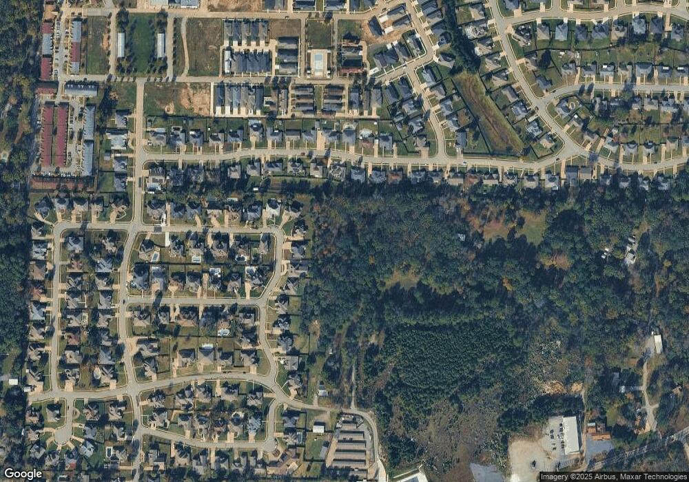
Map
Nearby Homes
- 3814 Lowery Ln
- 3922 Robinwood Cir
- 3928 Robinwood Cir
- 3916 Robinwood Cir
- 4000 Robinwood Cir
- 205 Monticello Dr
- 213 Monticello W
- 213 Monticello Dr
- 201 Monticello Dr
- 201 Monticello W
- 2113 Sable Oaks Cir
- 219 Monticello W
- 113 Monticello Dr
- 4006 Robinwood Cir
- 3923 Robinwood Cir
- 301 Monticello W
- 3900 Robinwood Cir
- 109 Monticello Dr
- 3300 Lowery Ln
- 204 Suncrest St