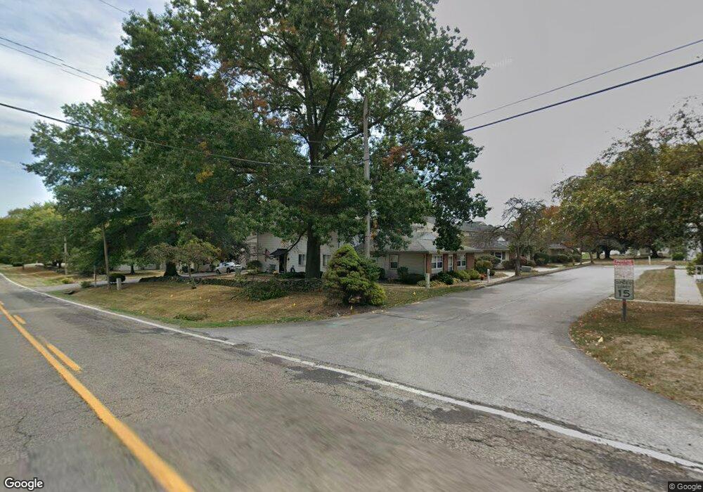
3814 Twin Pines Dr Uniontown, OH 44685
Estimated Value: $115,550 - $172,000
2
Beds
1
Bath
882
Sq Ft
$155/Sq Ft
Est. Value
About This Home
This home is located at 3814 Twin Pines Dr, Uniontown, OH 44685 and is currently estimated at $136,888, approximately $155 per square foot. 3814 Twin Pines Dr is a home located in Summit County with nearby schools including Greenwood Elementary School, Green Primary School, and Green Intermediate Elementary School.
Ownership History
Date
Name
Owned For
Owner Type
Purchase Details
Closed on
Feb 28, 2022
Sold by
Mcfarland Nathan J
Bought by
N & J Mcfarland Properties Llc
Current Estimated Value
Home Financials for this Owner
Home Financials are based on the most recent Mortgage that was taken out on this home.
Original Mortgage
$66,000
Interest Rate
3.12%
Mortgage Type
Future Advance Clause Open End Mortgage
Purchase Details
Closed on
Feb 25, 2022
Sold by
Mcfarland Nathan J
Bought by
N & J Mcfarland Properties Llc
Home Financials for this Owner
Home Financials are based on the most recent Mortgage that was taken out on this home.
Original Mortgage
$66,000
Interest Rate
3.12%
Mortgage Type
Future Advance Clause Open End Mortgage
Purchase Details
Closed on
Jan 5, 2022
Sold by
M K Realty Llc
Bought by
Mcfarland Nathan J
Home Financials for this Owner
Home Financials are based on the most recent Mortgage that was taken out on this home.
Original Mortgage
$66,000
Interest Rate
3.12%
Mortgage Type
Future Advance Clause Open End Mortgage
Purchase Details
Closed on
Apr 15, 2019
Sold by
Lane Charles L and Lane Jeanne L
Bought by
M K Realty Llc
Purchase Details
Closed on
Oct 30, 2013
Sold by
Blocker Brian D and Blocker Stephanie L
Bought by
Lane Ii Charles L and Lane Jeanne L
Home Financials for this Owner
Home Financials are based on the most recent Mortgage that was taken out on this home.
Original Mortgage
$45,200
Interest Rate
3.25%
Mortgage Type
Adjustable Rate Mortgage/ARM
Purchase Details
Closed on
Mar 29, 1996
Sold by
Fitzgerald Willie C
Bought by
Blocker Brian D and Blocker Eleanor D
Home Financials for this Owner
Home Financials are based on the most recent Mortgage that was taken out on this home.
Original Mortgage
$45,900
Interest Rate
6.98%
Mortgage Type
New Conventional
Purchase Details
Closed on
Aug 5, 1994
Sold by
Reder Anthony W
Bought by
Fitzgerald Willie C and Fitzgerald Eda M
Create a Home Valuation Report for This Property
The Home Valuation Report is an in-depth analysis detailing your home's value as well as a comparison with similar homes in the area
Home Values in the Area
Average Home Value in this Area
Purchase History
| Date | Buyer | Sale Price | Title Company |
|---|---|---|---|
| N & J Mcfarland Properties Llc | -- | Patriot Title | |
| N & J Mcfarland Properties Llc | -- | Patriot Title | |
| Mcfarland Nathan J | $88,000 | Patriot Title Agency Inc | |
| M K Realty Llc | $59,500 | None Available | |
| Lane Ii Charles L | $56,500 | None Available | |
| Blocker Brian D | $51,000 | -- | |
| Fitzgerald Willie C | $50,000 | -- |
Source: Public Records
Mortgage History
| Date | Status | Borrower | Loan Amount |
|---|---|---|---|
| Previous Owner | Mcfarland Nathan J | $66,000 | |
| Previous Owner | Lane Ii Charles L | $45,200 | |
| Previous Owner | Blocker Brian D | $45,900 |
Source: Public Records
Tax History Compared to Growth
Tax History
| Year | Tax Paid | Tax Assessment Tax Assessment Total Assessment is a certain percentage of the fair market value that is determined by local assessors to be the total taxable value of land and additions on the property. | Land | Improvement |
|---|---|---|---|---|
| 2025 | $1,753 | $33,135 | $4,127 | $29,008 |
| 2024 | $1,753 | $33,135 | $4,127 | $29,008 |
| 2023 | $1,753 | $33,135 | $4,127 | $29,008 |
| 2022 | $1,158 | $20,454 | $2,548 | $17,906 |
| 2021 | $1,091 | $20,454 | $2,548 | $17,906 |
| 2020 | $1,171 | $20,460 | $2,550 | $17,910 |
| 2019 | $1,018 | $16,250 | $2,340 | $13,910 |
| 2018 | $938 | $16,250 | $2,340 | $13,910 |
| 2017 | $1,052 | $16,250 | $2,340 | $13,910 |
| 2016 | $1,047 | $17,250 | $2,470 | $14,780 |
| 2015 | $1,052 | $17,250 | $2,470 | $14,780 |
| 2014 | $1,045 | $17,250 | $2,470 | $14,780 |
| 2013 | $1,161 | $19,100 | $2,470 | $16,630 |
Source: Public Records
Map
Nearby Homes
- 2500 Marlborough Dr
- 2511 Royal County Down
- 2535 Royal County Down Unit B
- Sarasota Plan at Spring Hill - Spring Hill Villas
- Chester Plan at Spring Hill - Spring Hill Villas
- Kenai Plan at Spring Hill - Spring Hill Villas
- Holston Plan at Spring Hill - Spring Hill Villas
- Bradbern Plan at Spring Hill - Spring Hill Villas
- Northwood Plan at Spring Hill - Spring Hill Villas
- 3609 Glenshire Cir Unit 55B
- 2694 Cardington Green Unit 23A
- 3212 Deborah Ct
- 3217 Deborah Ct
- 2185 Prestwick Dr
- 2186 Prestwick Dr
- 3495 Chadwick Dr
- 2667 Spade Rd
- 2111 Prestwick Dr Unit 3A
- 3118 Kreighbaum Rd NW
- 2189 E Park Dr
- 3814 Twin Pines Dr Unit B
- 3814 Twin Pines Dr
- 3814 Twin Pines Dr Unit A
- 3814 Twin Pines Dr Unit 9b
- 3814 Twin Pines Dr Unit 9C
- 3814 Twin Pines Dr Unit 9A
- 3820 Twin Pines Dr Unit A
- 3820 Twin Pines Dr
- 3820 Twin Pines Dr
- 3820 Twin Pines Dr Unit D
- 2461 Island Dr
- 2461 Island Dr
- 2461 Island Dr
- 2461 Island Dr Unit B
- 2461 Island Dr Unit D
- 2461 Island Dr Unit 10C
- 2461 Island Dr Unit C
- 3826 Twin Pines Dr Unit 7C
- 3826 Twin Pines Dr Unit 7D
- 3826 Twin Pines Dr