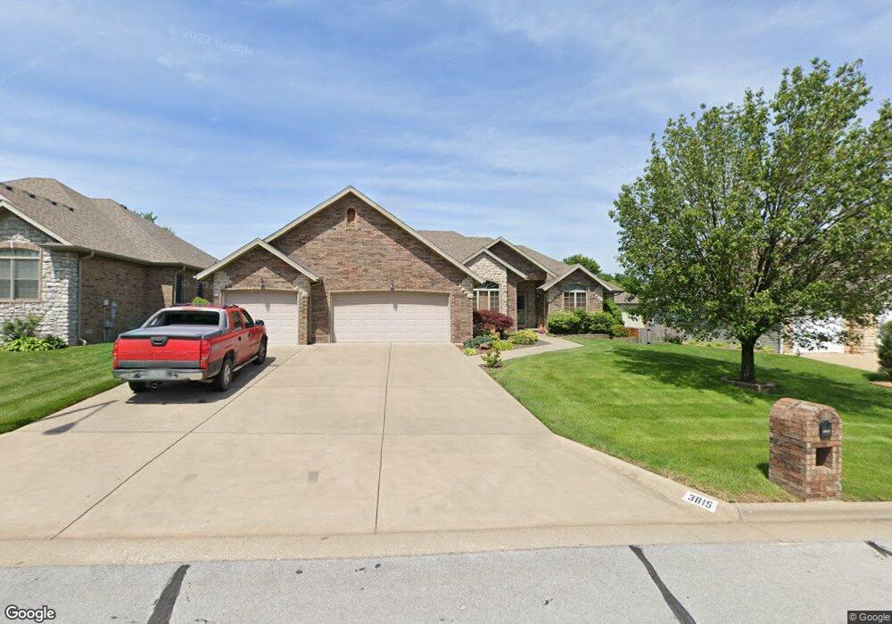
3815 N Mill Ridge Ave Springfield, MO 65803
Estimated Value: $263,000 - $316,000
3
Beds
2
Baths
1,675
Sq Ft
$176/Sq Ft
Est. Value
About This Home
This home is located at 3815 N Mill Ridge Ave, Springfield, MO 65803 and is currently estimated at $295,265, approximately $176 per square foot. 3815 N Mill Ridge Ave is a home located in Greene County with nearby schools including Pleasant View K-8 School, Hillcrest High School, and Dayspring Christian School.
Ownership History
Date
Name
Owned For
Owner Type
Purchase Details
Closed on
Mar 31, 2023
Sold by
Dana And Beverly Gray Vap Trust
Bought by
Gray Dana V and Gray Beverly J
Current Estimated Value
Purchase Details
Closed on
Sep 24, 2021
Sold by
Gray Dana and Gray Beverly J
Bought by
Bright Kristy and Dana And Beverly Gray Vap Trus
Purchase Details
Closed on
Dec 20, 2005
Sold by
Gray Beverly S and Gray Beverly J
Bought by
Gray Dana and Gray Beverly J
Create a Home Valuation Report for This Property
The Home Valuation Report is an in-depth analysis detailing your home's value as well as a comparison with similar homes in the area
Purchase History
| Date | Buyer | Sale Price | Title Company |
|---|---|---|---|
| Gray Dana V | -- | -- | |
| Bright Kristy | -- | None Available | |
| Dana And Beverly Gray Vap Trust | -- | None Listed On Document | |
| Gray Dana | -- | None Available |
Source: Public Records
Tax History
| Year | Tax Paid | Tax Assessment Tax Assessment Total Assessment is a certain percentage of the fair market value that is determined by local assessors to be the total taxable value of land and additions on the property. | Land | Improvement |
|---|---|---|---|---|
| 2025 | $2,408 | $47,200 | $7,700 | $39,500 |
| 2024 | $2,408 | $41,590 | $5,700 | $35,890 |
| 2023 | $2,395 | $41,590 | $5,700 | $35,890 |
| 2022 | $2,252 | $38,320 | $5,700 | $32,620 |
| 2021 | $2,154 | $38,320 | $5,700 | $32,620 |
| 2020 | $2,177 | $36,770 | $5,700 | $31,070 |
| 2019 | $2,116 | $36,770 | $5,700 | $31,070 |
| 2018 | $2,089 | $36,120 | $5,320 | $30,800 |
| 2017 | $2,070 | $36,120 | $5,320 | $30,800 |
| 2016 | $2,066 | $36,120 | $5,320 | $30,800 |
| 2015 | $2,051 | $36,120 | $5,320 | $30,800 |
| 2014 | $2,025 | $35,680 | $5,320 | $30,360 |
Source: Public Records
Map
Nearby Homes
- 1923 E Valley Water Mill Rd
- 3839 N Stewart Ave
- 2393 E Valley Water Mill Rd
- 3975 N Stewart Ave
- 3424 N Darwin Ave
- 4260 N State Highway H
- Tract C N Farm Road 173
- 3749 N Pickwick Ave
- 3753 N Pickwick Ave
- 3983 N Courtney Cir
- 4541b N Lanier Ln
- 4541 N Lanier Ln
- 1349 E Stoneridge St
- 3333 N Delaware Ave
- 3538 N Prince Ln
- 1270 E Ogorman Ct
- 3107 N Neergard Ave
- 1626 E Farm Road 92
- 3957 N Springlawn Ave
- 3969 N Springlawn Ave
- 3827 N Mill Ridge Ave
- 1977 E Wheatridge Dr
- 1971 E Wheatridge Dr
- 1970 E Burntwood Dr
- 3814 N Mill Ridge Ave
- 3826 N Mill Ridge Ave
- 1989 E Wheatridge Dr
- 1965 E Wheatridge Dr
- 1964 E Burntwood Dr
- 1978 E Wheatridge Dr
- 1969 E Burntwood Dr
- 1972 E Wheatridge Dr
- 1987 E Burntwood Dr
- 1959 E Wheatridge Dr
- 3774 N Mill Ridge Ave
- 1994 E Burntwood Dr
- 1995 E Wheatridge Dr
- 3763 N Mill Ridge Ave
- 3760 N Nias Ave
- 1993 E Burntwood Dr
Your Personal Tour Guide
Ask me questions while you tour the home.