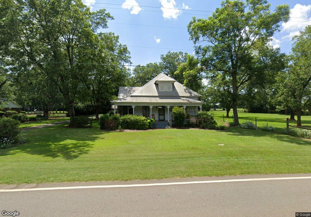
3817 Pearl St Shellman, GA 39886
Estimated Value: $146,000 - $227,000
3
Beds
1
Bath
1,858
Sq Ft
$104/Sq Ft
Est. Value
About This Home
This home is located at 3817 Pearl St, Shellman, GA 39886 and is currently estimated at $192,916, approximately $103 per square foot. 3817 Pearl St is a home located in Randolph County with nearby schools including Randolph County Elementary School, Randolph Clay Middle School, and Randolph Clay High School.
Ownership History
Date
Name
Owned For
Owner Type
Purchase Details
Closed on
May 12, 2000
Sold by
Bank Of Dawson
Bought by
Monroe Kenneth W
Current Estimated Value
Purchase Details
Closed on
Jul 7, 1999
Sold by
Mcduffie John H
Bought by
Bank Of Dawson
Purchase Details
Closed on
Aug 7, 1992
Bought by
Mcduffie John H
Create a Home Valuation Report for This Property
The Home Valuation Report is an in-depth analysis detailing your home's value as well as a comparison with similar homes in the area
Home Values in the Area
Average Home Value in this Area
Purchase History
| Date | Buyer | Sale Price | Title Company |
|---|---|---|---|
| Monroe Kenneth W | $45,000 | -- | |
| Monroe Kenneth W | $45,000 | -- | |
| Bank Of Dawson | -- | -- | |
| Bank Of Dawson | -- | -- | |
| Mcduffie John H | $20,000 | -- | |
| Mcduffie John H | $20,000 | -- |
Source: Public Records
Tax History Compared to Growth
Tax History
| Year | Tax Paid | Tax Assessment Tax Assessment Total Assessment is a certain percentage of the fair market value that is determined by local assessors to be the total taxable value of land and additions on the property. | Land | Improvement |
|---|---|---|---|---|
| 2024 | $2,218 | $60,700 | $4,160 | $56,540 |
| 2023 | $2,887 | $60,700 | $4,160 | $56,540 |
| 2022 | $2,220 | $60,700 | $4,160 | $56,540 |
| 2021 | $1,463 | $39,346 | $3,140 | $36,206 |
| 2020 | $1,505 | $39,346 | $3,140 | $36,206 |
| 2019 | $1,497 | $39,346 | $3,140 | $36,206 |
| 2018 | $1,861 | $39,346 | $3,140 | $36,206 |
| 2017 | $1,432 | $39,346 | $3,140 | $36,206 |
| 2016 | $1,436 | $39,346 | $3,140 | $36,206 |
| 2015 | -- | $39,346 | $3,140 | $36,206 |
| 2014 | -- | $23,956 | $3,245 | $20,711 |
| 2013 | -- | $23,956 | $3,245 | $20,711 |
Source: Public Records
Map
Nearby Homes
- 48 Cheney St
- 6 E Railroad St
- Pierce Rd
- 4560 Graves Hwy
- 6605 Pearl St
- 0 Fountain Bridge Rd
- 336 Metts Rd
- 0 District Line Rd Unit 10518137
- 361/552 NW Tenth Ave
- 229 7th Ave NW
- 10988 U S Highway 82
- 411 E Lee St
- 509 Orange St NE
- 0 Cox Rd
- 615 Johnson St SE
- 707 Johnson St SE
- 540 Veneys Mill Pond Rd
- 448 Henry Mitchell Dr NE
- 526 7th Ave NE
- 1472 Harrell Rd