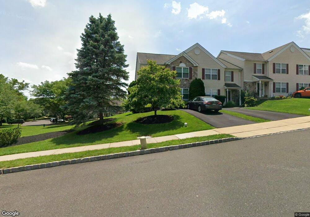
3819 Swetland Dr Doylestown, PA 18902
Plumstead NeighborhoodEstimated Value: $402,000 - $439,000
3
Beds
3
Baths
1,684
Sq Ft
$251/Sq Ft
Est. Value
About This Home
This home is located at 3819 Swetland Dr, Doylestown, PA 18902 and is currently estimated at $423,229, approximately $251 per square foot. 3819 Swetland Dr is a home located in Bucks County with nearby schools including Groveland Elementary School, Tohickon Middle School, and Central Bucks High School-West.
Ownership History
Date
Name
Owned For
Owner Type
Purchase Details
Closed on
Nov 21, 1997
Sold by
Patriots Ridge Corp
Bought by
Flaherty Charles C and Flaherty Rosemary C
Current Estimated Value
Home Financials for this Owner
Home Financials are based on the most recent Mortgage that was taken out on this home.
Original Mortgage
$43,600
Outstanding Balance
$7,143
Interest Rate
7.26%
Estimated Equity
$416,086
Create a Home Valuation Report for This Property
The Home Valuation Report is an in-depth analysis detailing your home's value as well as a comparison with similar homes in the area
Home Values in the Area
Average Home Value in this Area
Purchase History
| Date | Buyer | Sale Price | Title Company |
|---|---|---|---|
| Flaherty Charles C | $123,640 | -- |
Source: Public Records
Mortgage History
| Date | Status | Borrower | Loan Amount |
|---|---|---|---|
| Open | Flaherty Charles C | $43,600 |
Source: Public Records
Tax History Compared to Growth
Tax History
| Year | Tax Paid | Tax Assessment Tax Assessment Total Assessment is a certain percentage of the fair market value that is determined by local assessors to be the total taxable value of land and additions on the property. | Land | Improvement |
|---|---|---|---|---|
| 2025 | $4,316 | $24,840 | $3,440 | $21,400 |
| 2024 | $4,316 | $24,840 | $3,440 | $21,400 |
| 2023 | $4,179 | $24,840 | $3,440 | $21,400 |
| 2022 | $4,132 | $24,840 | $3,440 | $21,400 |
| 2021 | $4,086 | $24,840 | $3,440 | $21,400 |
| 2020 | $4,086 | $24,840 | $3,440 | $21,400 |
| 2019 | $4,061 | $24,840 | $3,440 | $21,400 |
| 2018 | $4,061 | $24,840 | $3,440 | $21,400 |
| 2017 | $4,005 | $24,840 | $3,440 | $21,400 |
| 2016 | $4,005 | $24,840 | $3,440 | $21,400 |
| 2015 | -- | $24,840 | $3,440 | $21,400 |
| 2014 | -- | $24,840 | $3,440 | $21,400 |
Source: Public Records
Map
Nearby Homes
- 4748 Bishop Cir
- 3765 William Daves Rd
- 3723 William Daves Rd
- 3838 Jacob Stout Rd
- 3711 Jacob Stout Rd Unit 5
- 3600 Jacob Stout Rd Unit 3
- 114 Blackfriars Cir
- 100 Bishops Gate Ln Unit 67
- 3923 Ferry Rd
- 194 Victoria Ct Unit 143
- 301 Windy Run Rd
- Madison Plan at Clover Hill Crossing
- Rittenhouse Plan at Clover Hill Crossing
- Harrison Plan at Clover Hill Crossing
- Chapel Hill Plan at Clover Hill Crossing
- Georgetown Plan at Clover Hill Crossing
- Fenimore Plan at Clover Hill Crossing
- 4263 Kleinot Dr
- 4317 Kleinot Dr
- 4464 Kleinot Dr
- 3817 Swetland Dr
- 3815 Swetland Dr
- 3813 Swetland Dr
- 5629 Swetland Dr
- 3811 Swetland Dr
- 3814 Swetland Dr
- 3809 Swetland Dr
- 5504 Rinker Cir Unit 324
- 5502 Rinker Cir Unit 323
- 3812 Swetland Dr
- 5500 Rinker Cir Unit 322
- 5506 Rinker Cir Unit 325
- 3810 Swetland Dr
- 3801 Swetland Dr
- 5508 Rinker Cir Unit 326
- 3808 Swetland Dr
- 5494 Rinker Cir Unit 319
- 5496 Rinker Cir
- 5510 Rinker Cir Unit 327
- 5498 Rinker Cir Unit 321