382 Barr Rd New Braintree, MA 01531
Estimated Value: $379,497 - $653,000
5
Beds
2
Baths
3,180
Sq Ft
$173/Sq Ft
Est. Value
About This Home
This home is located at 382 Barr Rd, New Braintree, MA 01531 and is currently estimated at $551,166, approximately $173 per square foot. 382 Barr Rd is a home located in Worcester County with nearby schools including Quabbin Regional Middle School and Quabbin Regional High School.
Ownership History
Date
Name
Owned For
Owner Type
Purchase Details
Closed on
May 28, 2024
Sold by
Mcdonald Joan and Levia Philippe A
Bought by
Macdonald Joan and Levia Phillippe A
Current Estimated Value
Purchase Details
Closed on
Jan 24, 2024
Sold by
Levia Sr Delphis F Est and Mcdonald
Bought by
Mcdonald Joan and Levia Philippe A
Purchase Details
Closed on
Aug 13, 2003
Sold by
Levia Delphis F and Levia Sara A
Bought by
Gervais Thomas G
Purchase Details
Closed on
Feb 19, 1998
Sold by
Levia Delphis F and Levia Joan M
Bought by
Levia Delphis F and Morin Sara A
Create a Home Valuation Report for This Property
The Home Valuation Report is an in-depth analysis detailing your home's value as well as a comparison with similar homes in the area
Home Values in the Area
Average Home Value in this Area
Purchase History
| Date | Buyer | Sale Price | Title Company |
|---|---|---|---|
| Macdonald Joan | -- | None Available | |
| Macdonald Joan | -- | None Available | |
| Mcdonald Joan | -- | None Available | |
| Mcdonald Joan | -- | None Available | |
| Gervais Thomas G | -- | -- | |
| Gervais Thomas G | -- | -- | |
| Levia Delphis F | $9,000 | -- | |
| Levia Delphis F | $9,000 | -- |
Source: Public Records
Tax History
| Year | Tax Paid | Tax Assessment Tax Assessment Total Assessment is a certain percentage of the fair market value that is determined by local assessors to be the total taxable value of land and additions on the property. | Land | Improvement |
|---|---|---|---|---|
| 2025 | $39 | $259,300 | $59,600 | $199,700 |
| 2024 | $3,779 | $259,900 | $60,200 | $199,700 |
| 2023 | $3,513 | $239,300 | $61,100 | $178,200 |
| 2022 | $3,216 | $197,900 | $49,900 | $148,000 |
| 2021 | $3,265 | $186,900 | $46,100 | $140,800 |
| 2020 | $3,204 | $185,000 | $45,000 | $140,000 |
| 2019 | $3,091 | $181,800 | $45,000 | $136,800 |
| 2018 | $2,999 | $170,800 | $46,900 | $123,900 |
| 2017 | $2,922 | $161,800 | $51,400 | $110,400 |
| 2016 | $2,796 | $160,700 | $50,300 | $110,400 |
| 2015 | $2,912 | $179,300 | $57,000 | $122,300 |
| 2014 | $2,750 | $168,300 | $49,300 | $119,000 |
Source: Public Records
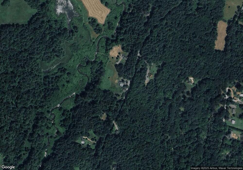
Map
Nearby Homes
- 0 Barr Rd
- 179 Pierce Rd
- 300 Padre Rd
- 138 Ragged Hill Rd
- lt3 West Rd
- 233 Ragged Hill Rd
- 16 Smith and Hanson Rd
- 201 Upper Church St
- 159 Upper Church St
- 0 Lower Rd
- 291 Wigwam Rd
- 49 Smith Hanson Rd
- 65 Pierce Rd
- 3 River St
- 441 Main St
- 347-349 Main St
- 80 New Braintree Rd
- 716 Hardwick Rd
- 21 Beach Dr
- 18-20 Old w Brookfield Rd
Your Personal Tour Guide
Ask me questions while you tour the home.