382 Mcintosh Ln Rabun Gap, GA 30568
Estimated Value: $465,548 - $570,000
4
Beds
3
Baths
2,992
Sq Ft
$167/Sq Ft
Est. Value
About This Home
This home is located at 382 Mcintosh Ln, Rabun Gap, GA 30568 and is currently estimated at $500,887, approximately $167 per square foot. 382 Mcintosh Ln is a home located in Rabun County with nearby schools including Rabun County Primary School, Rabun County High School, and Rabun Gap Nacoochee School.
Ownership History
Date
Name
Owned For
Owner Type
Purchase Details
Closed on
Jul 7, 2021
Sold by
Treleven Dirk Suc
Bought by
Shurtliff Andrew Adam and Shurtliff Heather D
Current Estimated Value
Home Financials for this Owner
Home Financials are based on the most recent Mortgage that was taken out on this home.
Original Mortgage
$248,000
Outstanding Balance
$223,770
Interest Rate
2.96%
Mortgage Type
New Conventional
Estimated Equity
$277,117
Purchase Details
Closed on
Oct 1, 1988
Bought by
Ballerstedt Margaret A Trust
Purchase Details
Closed on
Oct 1, 1986
Purchase Details
Closed on
Sep 1, 1985
Purchase Details
Closed on
Jan 1, 1985
Purchase Details
Closed on
Jun 1, 1981
Create a Home Valuation Report for This Property
The Home Valuation Report is an in-depth analysis detailing your home's value as well as a comparison with similar homes in the area
Home Values in the Area
Average Home Value in this Area
Purchase History
| Date | Buyer | Sale Price | Title Company |
|---|---|---|---|
| Shurtliff Andrew Adam | $310,000 | -- | |
| Shurtliff Andrew Adam | $310,000 | -- | |
| Ballerstedt Margaret A Trust | $105,000 | -- | |
| Ballerstedt Margaret A Trust | $105,000 | -- | |
| -- | $105,000 | -- | |
| -- | $105,000 | -- | |
| -- | -- | -- | |
| -- | -- | -- | |
| -- | $105,000 | -- | |
| -- | $105,000 | -- | |
| -- | $5,000 | -- | |
| -- | $5,000 | -- |
Source: Public Records
Mortgage History
| Date | Status | Borrower | Loan Amount |
|---|---|---|---|
| Open | Shurtliff Andrew Adam | $248,000 | |
| Closed | Shurtliff Andrew Adam | $248,000 |
Source: Public Records
Tax History Compared to Growth
Tax History
| Year | Tax Paid | Tax Assessment Tax Assessment Total Assessment is a certain percentage of the fair market value that is determined by local assessors to be the total taxable value of land and additions on the property. | Land | Improvement |
|---|---|---|---|---|
| 2025 | $2,420 | $150,779 | $23,905 | $126,874 |
| 2024 | $2,291 | $142,741 | $23,905 | $118,836 |
| 2023 | $2,323 | $126,917 | $21,249 | $105,668 |
| 2022 | $2,226 | $121,638 | $19,921 | $101,717 |
| 2021 | $1,776 | $94,744 | $18,520 | $76,224 |
| 2020 | $1,686 | $86,929 | $18,520 | $68,409 |
| 2019 | $1,698 | $86,929 | $18,520 | $68,409 |
| 2018 | $1,704 | $86,929 | $18,520 | $68,409 |
| 2017 | $1,634 | $86,929 | $18,520 | $68,409 |
| 2016 | $1,589 | $84,294 | $18,520 | $65,774 |
| 2015 | $1,624 | $84,336 | $18,520 | $65,817 |
| 2014 | $1,634 | $84,381 | $18,564 | $65,817 |
Source: Public Records
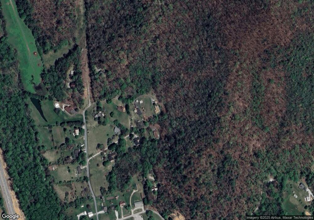
Map
Nearby Homes
- 548 Black Rock Mountain Pkwy
- 37 Erwin St
- 173 Blacks Creek Dr
- 36 Maple Springs Ln
- 52 Lucky Ln
- 0 Green St Unit 10565711
- 55 Wallace St
- 11 Electric Ave
- 333 Favor
- 1 Electric Ave
- 0 John Beck Dockins Rd Unit 10606531
- 153 Coleman Heights Ln
- 0 Black Rock Estates Unit 25 10374676
- 0 Stella Ln Unit 10485082
- 137 Olds Mountain Peak Rd
- 1422 Wolffork Rd
- 0 Forest Canopy Way Unit 11
- 46 Clare Ln
- 668 Mountainside Dr
- 0 Sylvan Lake Dr Unit 47,48 10485897
- 187 Mcintosh Ln
- 187 Macintosh
- 258 Mcintosh Ln
- 293 Mcintosh Ln
- 149 Mcintosh Ln
- 0 Mcintosh Unit 7427868
- 223 Mcintosh Ln
- 282 Mcintosh Ln
- 282 Macintosh
- 44 Happy Hill Ln
- 205 Mcintosh Ln
- 57 Mcintosh Ln
- 100 Happy Hill Ln
- 332 Mcintosh Ln
- 115 Mcintosh Ln
- 3589 Highway 441 N
- 61 Happy Hill Ln
- 22 Mcintosh Ln
- 21 Mcintosh Ln
- 187 Cathy Rd