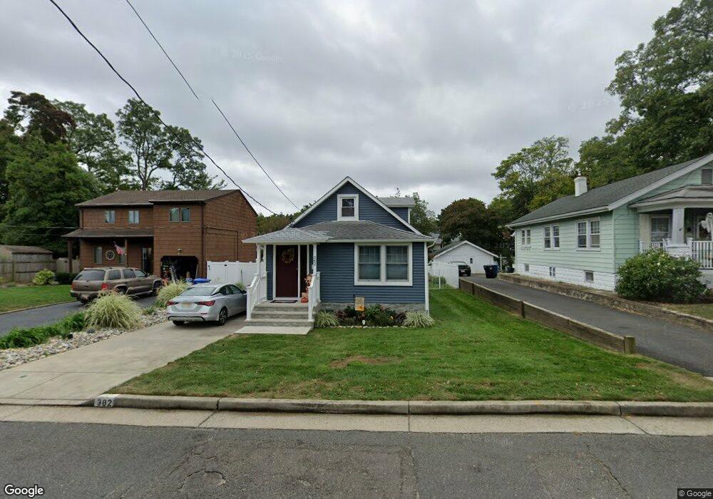
382 Monmouth Ave Leonardo, NJ 07737
Estimated Value: $483,000 - $572,000
2
Beds
1
Bath
1,280
Sq Ft
$399/Sq Ft
Est. Value
About This Home
This home is located at 382 Monmouth Ave, Leonardo, NJ 07737 and is currently estimated at $510,192, approximately $398 per square foot. 382 Monmouth Ave is a home located in Monmouth County with nearby schools including Leonardo Elementary School, Bayshore Middle School, and Middletown - South High School.
Ownership History
Date
Name
Owned For
Owner Type
Purchase Details
Closed on
Sep 30, 2021
Sold by
Nanney Michael C
Bought by
Oboyle Laura and Theresa C Marro Irrevocable Li
Current Estimated Value
Purchase Details
Closed on
May 12, 1997
Sold by
Transamerican Financial
Bought by
Nanney Michael
Home Financials for this Owner
Home Financials are based on the most recent Mortgage that was taken out on this home.
Original Mortgage
$70,000
Interest Rate
7.98%
Create a Home Valuation Report for This Property
The Home Valuation Report is an in-depth analysis detailing your home's value as well as a comparison with similar homes in the area
Home Values in the Area
Average Home Value in this Area
Purchase History
| Date | Buyer | Sale Price | Title Company |
|---|---|---|---|
| Oboyle Laura | $335,000 | Fidelity National Ttl Ins Co | |
| Nanney Michael | $75,000 | -- |
Source: Public Records
Mortgage History
| Date | Status | Borrower | Loan Amount |
|---|---|---|---|
| Previous Owner | Nanney Michael | $70,000 |
Source: Public Records
Tax History Compared to Growth
Tax History
| Year | Tax Paid | Tax Assessment Tax Assessment Total Assessment is a certain percentage of the fair market value that is determined by local assessors to be the total taxable value of land and additions on the property. | Land | Improvement |
|---|---|---|---|---|
| 2025 | $6,136 | $465,500 | $325,500 | $140,000 |
| 2024 | $5,786 | $373,000 | $235,600 | $137,400 |
| 2023 | $5,786 | $332,900 | $221,200 | $111,700 |
| 2022 | $5,441 | $287,600 | $181,300 | $106,300 |
| 2021 | $5,441 | $261,600 | $167,000 | $94,600 |
| 2020 | $4,811 | $225,000 | $142,300 | $82,700 |
| 2019 | $4,718 | $223,400 | $141,100 | $82,300 |
| 2018 | $4,245 | $195,900 | $117,500 | $78,400 |
| 2017 | $4,236 | $193,500 | $117,500 | $76,000 |
| 2016 | $4,477 | $210,100 | $117,500 | $92,600 |
| 2015 | $4,637 | $210,100 | $117,500 | $92,600 |
| 2014 | $4,576 | $202,200 | $117,500 | $84,700 |
Source: Public Records
Map
Nearby Homes
- 28 Florence Ave
- 43 Washington Ave
- 49 Appleton Ave
- 59 Florence Ave
- 86 Washington Ave
- 46 Highland Ave
- 17 Washington Ave
- 786 Leonardville Rd
- 46 Hosford Ave
- 13 Brant Dr Unit Lot 5.09
- 16 Brant Dr Unit Lot 5.08
- 10 Brant Dr Unit Lot 5.05
- 5 Brant Dr Unit Lot 5.13
- 7 Brant Dr Unit Lot 5.12
- 149 9th St
- 4 Brant Dr Unit Lot 5.02
- 41 South Ave
- 58 W Highland Ave
- 54 W Washington Ave
- 11 Brant Dr Unit Lot 5.10
- 384 Monmouth Ave
- 380 Monmouth Ave
- 386 Monmouth Ave
- 85 Center Ave
- 83 Center Ave
- 141 Concord Ave
- 87 Center Ave
- 149 Concord Ave
- 28 Appleton Ave
- 383 Monmouth Ave
- 137 Concord Ave
- 387 Monmouth Ave
- 89 Center Ave
- 135 Concord Ave
- 389 Monmouth Ave
- 133 Concord Ave
- 82 Center Ave
- 84 Center Ave
- 153 Concord Ave
- 144 Concord Ave