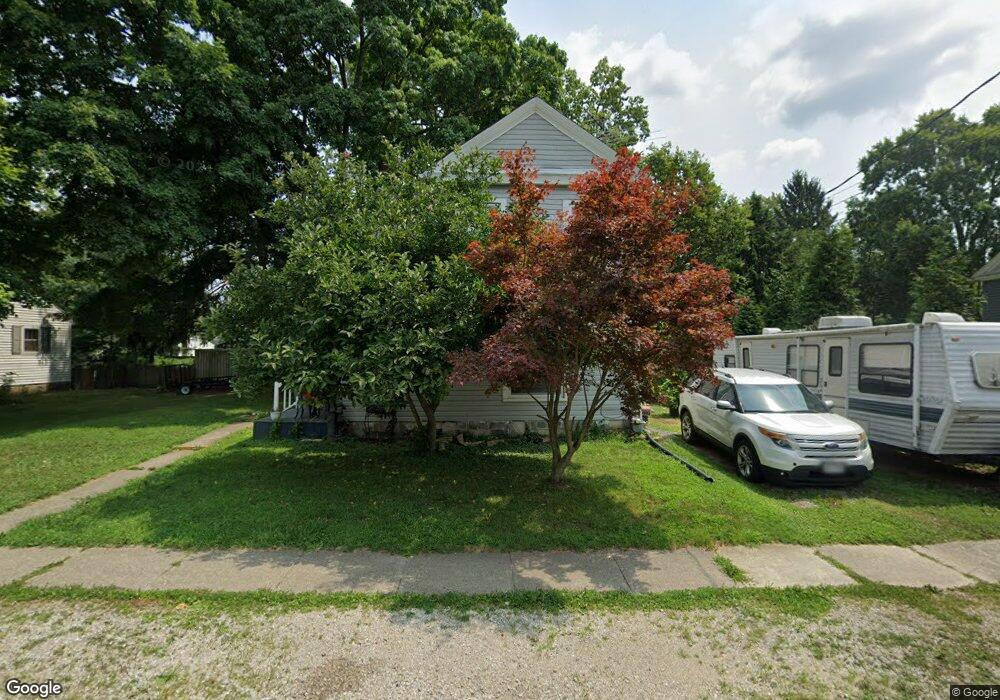
382 S High St Pataskala, OH 43062
Estimated Value: $161,000 - $310,000
4
Beds
2
Baths
1,886
Sq Ft
$134/Sq Ft
Est. Value
About This Home
This home is located at 382 S High St, Pataskala, OH 43062 and is currently estimated at $252,311, approximately $133 per square foot. 382 S High St is a home located in Licking County with nearby schools including Pataskala Elementary School, Etna Elementary School, and Watkins Middle School.
Ownership History
Date
Name
Owned For
Owner Type
Purchase Details
Closed on
Aug 30, 2017
Sold by
Slack Sara Ellen
Bought by
Davey Robert L and Davey Elizabeth A
Current Estimated Value
Home Financials for this Owner
Home Financials are based on the most recent Mortgage that was taken out on this home.
Original Mortgage
$87,300
Outstanding Balance
$73,019
Interest Rate
3.96%
Mortgage Type
New Conventional
Estimated Equity
$179,292
Purchase Details
Closed on
Mar 17, 2017
Sold by
Estate Of Ithel D Slack
Bought by
Slack Sara Ellen
Create a Home Valuation Report for This Property
The Home Valuation Report is an in-depth analysis detailing your home's value as well as a comparison with similar homes in the area
Home Values in the Area
Average Home Value in this Area
Purchase History
| Date | Buyer | Sale Price | Title Company |
|---|---|---|---|
| Davey Robert L | $90,000 | None Available | |
| Slack Sara Ellen | -- | Hayes Title Agency |
Source: Public Records
Mortgage History
| Date | Status | Borrower | Loan Amount |
|---|---|---|---|
| Open | Davey Robert L | $87,300 |
Source: Public Records
Tax History
| Year | Tax Paid | Tax Assessment Tax Assessment Total Assessment is a certain percentage of the fair market value that is determined by local assessors to be the total taxable value of land and additions on the property. | Land | Improvement |
|---|---|---|---|---|
| 2024 | $3,089 | $74,380 | $19,110 | $55,270 |
| 2023 | $3,086 | $74,380 | $19,110 | $55,270 |
| 2022 | $2,268 | $46,830 | $11,480 | $35,350 |
| 2021 | $2,336 | $46,830 | $11,480 | $35,350 |
| 2020 | $2,372 | $46,830 | $11,480 | $35,350 |
| 2019 | $1,960 | $35,740 | $9,560 | $26,180 |
| 2018 | $1,967 | $0 | $0 | $0 |
| 2017 | $1,786 | $0 | $0 | $0 |
| 2016 | $1,685 | $0 | $0 | $0 |
| 2015 | $1,623 | $0 | $0 | $0 |
| 2014 | $2,067 | $0 | $0 | $0 |
| 2013 | $1,755 | $0 | $0 | $0 |
Source: Public Records
Map
Nearby Homes
- 267 S Main St
- 388 S Township Rd
- 81 Town St
- 303 Levi Dr Unit Lot 7
- 186 Markway Dr Unit Lot 12
- 188 Markway Dr Unit Lot 13
- 0 Blacks Rd Unit 215031989
- 0 Blacks Rd Unit Lot 10
- 100 Indian Creek Ct
- 0 E Broad St
- 402 Shawnee Loop S
- 145 Shawnee Loop N
- 308 Reign Way
- 302 Reign Way
- 456 Joseph van Dorn Ct
- 55 1st St SW
- 342 Isaac Tharp St
- 420 Waterlily Ln
- 11034 Broad St SW
- 405 Waterlily Ln
Your Personal Tour Guide
Ask me questions while you tour the home.