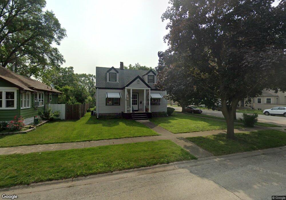
382 S Tanner Ave Kankakee, IL 60901
Estimated Value: $135,000 - $152,000
2
Beds
1
Bath
848
Sq Ft
$170/Sq Ft
Est. Value
About This Home
This home is located at 382 S Tanner Ave, Kankakee, IL 60901 and is currently estimated at $144,544, approximately $170 per square foot. 382 S Tanner Ave is a home located in Kankakee County with nearby schools including Kennedy Middle Grade School, Taft Primary School, and Kankakee Junior High School.
Ownership History
Date
Name
Owned For
Owner Type
Purchase Details
Closed on
Jul 27, 2010
Sold by
Swanson James J and Swanson Rose
Bought by
Hunte Sandra L and Varela Salomon B
Current Estimated Value
Home Financials for this Owner
Home Financials are based on the most recent Mortgage that was taken out on this home.
Original Mortgage
$74,000
Outstanding Balance
$49,585
Interest Rate
4.81%
Mortgage Type
New Conventional
Estimated Equity
$94,959
Create a Home Valuation Report for This Property
The Home Valuation Report is an in-depth analysis detailing your home's value as well as a comparison with similar homes in the area
Home Values in the Area
Average Home Value in this Area
Purchase History
| Date | Buyer | Sale Price | Title Company |
|---|---|---|---|
| Hunte Sandra L | $78,000 | Kankakee Cnty Title & Tr |
Source: Public Records
Mortgage History
| Date | Status | Borrower | Loan Amount |
|---|---|---|---|
| Open | Hunte Sandra L | $74,000 |
Source: Public Records
Tax History
| Year | Tax Paid | Tax Assessment Tax Assessment Total Assessment is a certain percentage of the fair market value that is determined by local assessors to be the total taxable value of land and additions on the property. | Land | Improvement |
|---|---|---|---|---|
| 2024 | $2,927 | $35,754 | $5,634 | $30,120 |
| 2023 | $2,666 | $31,852 | $5,019 | $26,833 |
| 2022 | $2,294 | $27,879 | $4,393 | $23,486 |
| 2021 | $2,725 | $25,230 | $3,976 | $21,254 |
| 2020 | $2,440 | $22,679 | $3,574 | $19,105 |
| 2019 | $2,262 | $21,097 | $3,325 | $17,772 |
| 2018 | $2,109 | $19,535 | $3,079 | $16,456 |
| 2017 | $2,339 | $19,105 | $3,011 | $16,094 |
| 2016 | $2,172 | $18,730 | $2,952 | $15,778 |
| 2015 | $2,213 | $19,704 | $3,012 | $16,692 |
| 2014 | $2,132 | $19,704 | $3,012 | $16,692 |
| 2013 | -- | $20,526 | $3,138 | $17,388 |
Source: Public Records
Map
Nearby Homes
- 681 S Tanner Ave
- 640 S Mckinley Ave
- 123 S Alma Ave
- 635 S Alma Ave
- 827 S Mckinley Ave
- 1224 W Hawkins St
- 580 S Enos Ave
- 1124 W Hawkins St
- 575 S Wall St
- 512 S Wall St
- 1119 S Curtis Ave Unit E51
- 1119 S Curtis Ave Unit F62
- 1119 S Curtis Ave Unit A1
- 1305 Oaktree Ln
- 1024 W Walnut St
- 957 S 7th Ave
- 353 S 5th Ave Unit 355
- 1075 S 7th Ave
- 595 W Bridge St
- 436 S 4th Ave
- 368 S Tanner Ave
- 1755 W Hickory St
- 354 S Tanner Ave
- 393 S Tanner Ave
- 369 S Tanner Ave
- 392 S Tanner Ave
- 346 S Tanner Ave
- 375 S Tanner Ave
- 345 S Tanner Ave
- 371 S Tanner Ave
- 1745 W Hickory St
- 410 S Tanner Ave
- 405 S Tanner Ave
- 420 S Tanner Ave
- 1786 W Station St
- 421 S Tanner Ave
- 351 S Cannon Ave
- 1812 W Station St
- 375 S Cannon Ave
- 365 S Cannon Ave
Your Personal Tour Guide
Ask me questions while you tour the home.