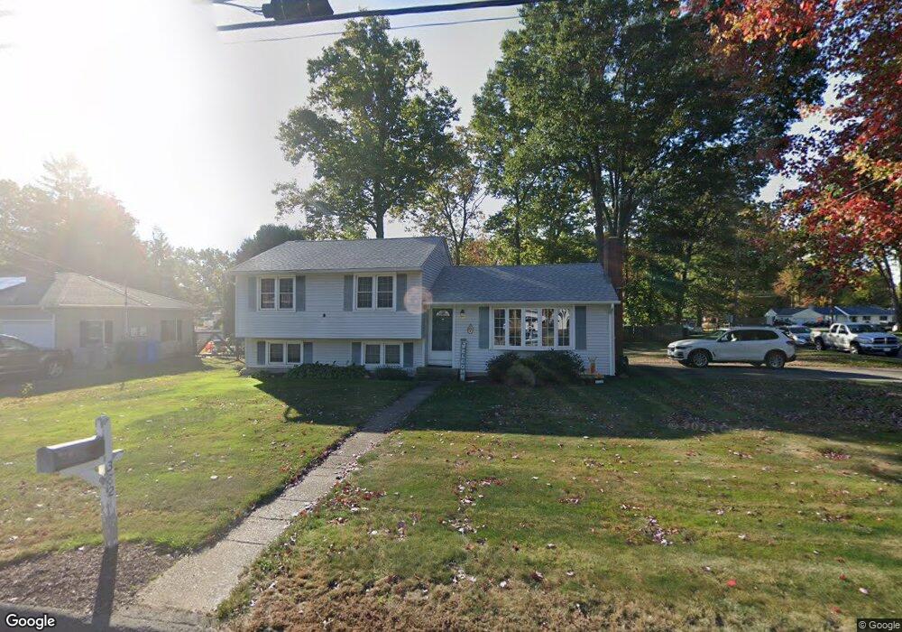
382 Sonstrom Rd Bristol, CT 06010
North Bristol NeighborhoodEstimated Value: $341,000 - $420,000
4
Beds
2
Baths
1,194
Sq Ft
$304/Sq Ft
Est. Value
About This Home
This home is located at 382 Sonstrom Rd, Bristol, CT 06010 and is currently estimated at $363,266, approximately $304 per square foot. 382 Sonstrom Rd is a home located in Hartford County with nearby schools including Ivy Drive School, Northeast Middle School, and Bristol Eastern High School.
Ownership History
Date
Name
Owned For
Owner Type
Purchase Details
Closed on
Jul 30, 2019
Sold by
Broderick Ryan M
Bought by
Broderick Ryan M and Broderick Jennifer O
Current Estimated Value
Purchase Details
Closed on
Apr 9, 2009
Sold by
Card Ft and Jackman Pamela C
Bought by
Broderick Ryan M
Home Financials for this Owner
Home Financials are based on the most recent Mortgage that was taken out on this home.
Original Mortgage
$183,150
Interest Rate
4.94%
Purchase Details
Closed on
Apr 30, 1998
Sold by
Rossetto Anthony and Rossetto Cathie
Bought by
Rheault Randolph and Rheault Anne Marie
Home Financials for this Owner
Home Financials are based on the most recent Mortgage that was taken out on this home.
Original Mortgage
$114,300
Interest Rate
7.04%
Mortgage Type
Unknown
Create a Home Valuation Report for This Property
The Home Valuation Report is an in-depth analysis detailing your home's value as well as a comparison with similar homes in the area
Home Values in the Area
Average Home Value in this Area
Purchase History
| Date | Buyer | Sale Price | Title Company |
|---|---|---|---|
| Broderick Ryan M | -- | -- | |
| Broderick Ryan M | $190,000 | -- | |
| Rheault Randolph | $127,000 | -- |
Source: Public Records
Mortgage History
| Date | Status | Borrower | Loan Amount |
|---|---|---|---|
| Previous Owner | Rheault Randolph | $169,500 | |
| Previous Owner | Rheault Randolph | $183,150 | |
| Previous Owner | Rheault Randolph | $114,300 | |
| Previous Owner | Rheault Randolph | $90,000 |
Source: Public Records
Tax History
| Year | Tax Paid | Tax Assessment Tax Assessment Total Assessment is a certain percentage of the fair market value that is determined by local assessors to be the total taxable value of land and additions on the property. | Land | Improvement |
|---|---|---|---|---|
| 2025 | $5,292 | $156,800 | $34,790 | $122,010 |
| 2024 | $4,994 | $156,800 | $34,790 | $122,010 |
| 2023 | $4,759 | $156,800 | $34,790 | $122,010 |
| 2022 | $4,239 | $110,530 | $28,980 | $81,550 |
| 2021 | $4,239 | $110,530 | $28,980 | $81,550 |
| 2020 | $4,239 | $110,530 | $28,980 | $81,550 |
| 2019 | $4,206 | $110,530 | $28,980 | $81,550 |
| 2018 | $4,076 | $110,530 | $28,980 | $81,550 |
| 2017 | $4,320 | $119,910 | $41,440 | $78,470 |
| 2016 | $4,320 | $119,910 | $41,440 | $78,470 |
| 2015 | $4,150 | $119,910 | $41,440 | $78,470 |
| 2014 | $4,150 | $119,910 | $41,440 | $78,470 |
Source: Public Records
Map
Nearby Homes
- 35 Jasmine St
- 97 Jacqueline Dr
- 1469 Farmington Ave Unit 56
- 1325 Farmington Ave Unit 52
- 104 Driftwood Rd
- 3 Sandra St
- 15 Cardinal Dr Unit 15
- 79 Beths Ave Unit 100
- 36 Maxine Rd
- 55 Beths Ave Unit 77
- 66 Beths Ave Unit 15
- 32 Farmington Chase Crescent Unit 32
- 25 Sheffield Ln
- 84 Glen Eagle Dr
- 81 Lancaster Rd
- 941 Farmington Ave
- 20 Westchester Dr
- 206 Burton St
- 99 Redwood Dr
- 179 Mark St
Your Personal Tour Guide
Ask me questions while you tour the home.