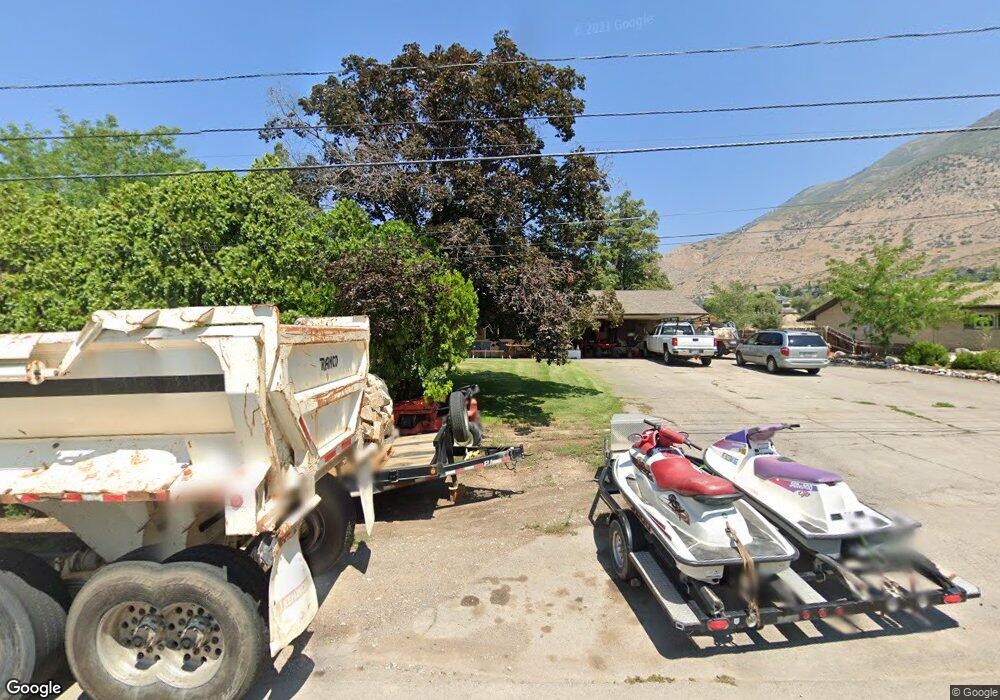
382 W 2600 N Pleasant Grove, UT 84062
Estimated Value: $579,000 - $714,088
3
Beds
2
Baths
2,098
Sq Ft
$314/Sq Ft
Est. Value
About This Home
This home is located at 382 W 2600 N, Pleasant Grove, UT 84062 and is currently estimated at $659,772, approximately $314 per square foot. 382 W 2600 N is a home located in Utah County with nearby schools including Deerfield Elementary School, Mountain Ridge Junior High School, and American Fork High School.
Ownership History
Date
Name
Owned For
Owner Type
Purchase Details
Closed on
Oct 30, 2009
Sold by
Federal Home Loan Mortgage Corporation
Bought by
Mccombie Samuel L
Current Estimated Value
Home Financials for this Owner
Home Financials are based on the most recent Mortgage that was taken out on this home.
Original Mortgage
$241,411
Interest Rate
4.88%
Mortgage Type
FHA
Purchase Details
Closed on
Jul 31, 2009
Sold by
Johnson Donald C
Bought by
Federal Home Loan Mortgage Corp
Purchase Details
Closed on
Aug 27, 2007
Sold by
Johnson Donald C
Bought by
Johnson Donald C and Faye Tomlinson Johnson Trust
Purchase Details
Closed on
Mar 21, 2007
Sold by
Faye Tomlinson Johnson Trust
Bought by
Johnson Donald C
Create a Home Valuation Report for This Property
The Home Valuation Report is an in-depth analysis detailing your home's value as well as a comparison with similar homes in the area
Home Values in the Area
Average Home Value in this Area
Purchase History
| Date | Buyer | Sale Price | Title Company |
|---|---|---|---|
| Mccombie Samuel L | -- | First American Union Heig | |
| Federal Home Loan Mortgage Corp | $206,348 | Trustees Title & Escrow | |
| Johnson Donald C | -- | Access Title Company | |
| Johnson Donald C | -- | Equity Title Production F |
Source: Public Records
Mortgage History
| Date | Status | Borrower | Loan Amount |
|---|---|---|---|
| Previous Owner | Mccombie Samuel L | $241,411 |
Source: Public Records
Tax History Compared to Growth
Tax History
| Year | Tax Paid | Tax Assessment Tax Assessment Total Assessment is a certain percentage of the fair market value that is determined by local assessors to be the total taxable value of land and additions on the property. | Land | Improvement |
|---|---|---|---|---|
| 2025 | $2,591 | $310,090 | $320,800 | $243,000 |
| 2024 | $2,591 | $302,390 | $0 | $0 |
| 2023 | $2,573 | $314,325 | $0 | $0 |
| 2022 | $2,923 | $355,355 | $0 | $0 |
| 2021 | $2,414 | $446,800 | $201,400 | $245,400 |
| 2020 | $2,220 | $402,900 | $179,800 | $223,100 |
| 2019 | $2,094 | $393,000 | $169,900 | $223,100 |
| 2018 | $1,938 | $343,900 | $149,900 | $194,000 |
| 2017 | $1,886 | $178,145 | $0 | $0 |
| 2016 | $1,590 | $144,980 | $0 | $0 |
| 2015 | $1,679 | $144,980 | $0 | $0 |
| 2014 | $1,489 | $127,380 | $0 | $0 |
Source: Public Records
Map
Nearby Homes
- 2837 N 550 W
- 8923 N Cottage Canyon Dr
- 9078 Renaissance Dr
- 8905 N Pine Hollow Dr
- 3373 Bear Canyon Ln
- 3408 W Bear Canyon Ln N Unit 53
- 532 W 2000 N
- 9157 N Canyon Heights Dr
- 8944 Silver Lake Dr
- 1897 N 900 W
- 1727 N Siena Cir Unit 4
- 1726 N Siena Cir Unit 10
- 3810 W Valley View Dr
- 2969 N 1350 W
- 1656 N Siena Cir Unit 7
- 980 W 1800 N
- 674 W 1590 N Unit 11
- 731 W 1590 N Unit 15
- 9481 N 3830 W
- 1534 N 750 W Unit 16