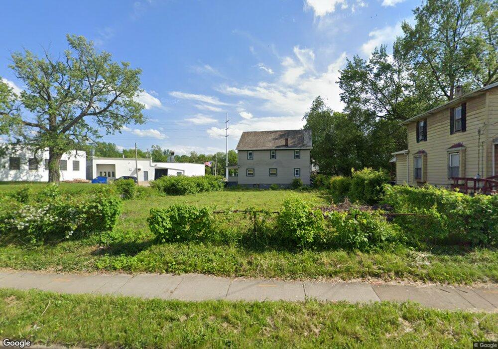
382 W Thornton St Akron, OH 44307
Sherbondy Hill NeighborhoodEstimated Value: $132,000 - $230,000
3
Beds
1
Bath
1,516
Sq Ft
$125/Sq Ft
Est. Value
About This Home
This home is located at 382 W Thornton St, Akron, OH 44307 and is currently estimated at $189,667, approximately $125 per square foot. 382 W Thornton St is a home located in Summit County with nearby schools including St. Bernard-St. Mary Elementary School.
Ownership History
Date
Name
Owned For
Owner Type
Purchase Details
Closed on
May 9, 2023
Sold by
Summit County Land Reutilization Corpora
Bought by
Morrow Warren
Current Estimated Value
Purchase Details
Closed on
May 5, 2023
Sold by
Summit County Land Reutilization Corpora
Bought by
Morrow Warren
Purchase Details
Closed on
Mar 20, 2023
Sold by
Sheriff Of Summit County
Bought by
Summit County Land Reutilization Corporation
Create a Home Valuation Report for This Property
The Home Valuation Report is an in-depth analysis detailing your home's value as well as a comparison with similar homes in the area
Home Values in the Area
Average Home Value in this Area
Purchase History
| Date | Buyer | Sale Price | Title Company |
|---|---|---|---|
| Morrow Warren | -- | None Listed On Document | |
| Morrow Warren | -- | None Listed On Document | |
| Summit County Land Reutilization Corporation | -- | -- |
Source: Public Records
Tax History Compared to Growth
Tax History
| Year | Tax Paid | Tax Assessment Tax Assessment Total Assessment is a certain percentage of the fair market value that is determined by local assessors to be the total taxable value of land and additions on the property. | Land | Improvement |
|---|---|---|---|---|
| 2025 | $471 | $3,150 | $3,150 | -- |
| 2024 | $471 | $3,150 | $3,150 | -- |
| 2023 | $1,004 | $3,150 | $3,150 | -- |
| 2022 | $1,004 | $3,150 | $3,150 | $0 |
| 2021 | $1,757 | $3,150 | $3,150 | $0 |
| 2020 | $2,158 | $3,150 | $3,150 | $0 |
| 2019 | $2,199 | $2,810 | $2,810 | $0 |
| 2018 | $1,430 | $2,810 | $2,810 | $0 |
| 2017 | $2,240 | $2,810 | $2,810 | $0 |
| 2016 | $2,240 | $2,810 | $2,810 | $0 |
| 2015 | $2,240 | $2,810 | $2,810 | $0 |
| 2014 | $1,862 | $2,810 | $2,810 | $0 |
| 2013 | $2,003 | $2,810 | $2,810 | $0 |
Source: Public Records
Map
Nearby Homes
- 1063 Raymond St
- 949 Raymond St
- 364 Campbell St
- 834 Kenyon St
- 817 Raymond St
- 810 Amherst St
- 1001 Celina Ave
- 963 Penn Ave
- 849 Amherst St
- 151 Russell Ave
- 1132 Bristol Terrace
- 677 Vernon Odom Blvd
- 832 Yale St
- 721 Vernon Odom Blvd
- 829 Yale St
- 837 Yale St
- 849 Yale St
- 4 Manila Place
- 794 Ruth Ave
- 737 Vernon Odom Blvd
- 388 W Thornton St
- 1048 Nathan St Unit 1050
- 1054 Nathan St
- 377 W Thornton St
- 1060 Nathan St
- 398 W Thornton St
- 1066 Nathan St
- 878 W Bowery St
- 878 W Bowery St
- 1057 Raymond St
- 1068 Nathan St
- 1017 Nathan St
- 1053 Raymond St Unit 1055
- 405 W Thornton St
- 1015 Nathan St
- 1070 Nathan St
- 1014 Nathan St
- 1017 Raymond St
- 1010 Nathan St
- 1058 Raymond St