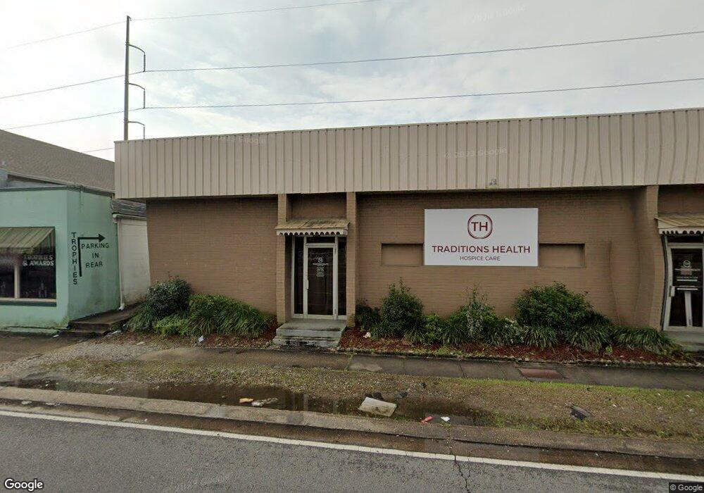
3822 Airline Dr Metairie, LA 70001
Estimated Value: $494,077
--
Bed
--
Bath
6,960
Sq Ft
$71/Sq Ft
Est. Value
About This Home
This home is located at 3822 Airline Dr, Metairie, LA 70001 and is currently estimated at $494,077, approximately $70 per square foot. 3822 Airline Dr is a home located in Jefferson Parish with nearby schools including Jefferson Elementary School, Metairie Academy For Advanced Studies, and Riverdale High School.
Ownership History
Date
Name
Owned For
Owner Type
Purchase Details
Closed on
Jul 2, 2025
Sold by
Stor & Self Storage Llc
Bought by
Cwp Holdings Llc
Current Estimated Value
Home Financials for this Owner
Home Financials are based on the most recent Mortgage that was taken out on this home.
Original Mortgage
$400,000
Outstanding Balance
$399,324
Interest Rate
6.86%
Mortgage Type
Credit Line Revolving
Estimated Equity
$94,753
Purchase Details
Closed on
May 10, 2023
Sold by
Mize Properties Of Metairie Llc
Bought by
Stor+ Self Storage Llc
Purchase Details
Closed on
May 2, 2008
Sold by
Hasney Kelly
Bought by
Mize Properties Of Metairie Ll
Home Financials for this Owner
Home Financials are based on the most recent Mortgage that was taken out on this home.
Original Mortgage
$260,000
Interest Rate
5.86%
Mortgage Type
New Conventional
Create a Home Valuation Report for This Property
The Home Valuation Report is an in-depth analysis detailing your home's value as well as a comparison with similar homes in the area
Home Values in the Area
Average Home Value in this Area
Purchase History
| Date | Buyer | Sale Price | Title Company |
|---|---|---|---|
| Cwp Holdings Llc | $492,500 | Commonwealth Land Title | |
| Stor+ Self Storage Llc | $385,000 | None Listed On Document | |
| Mize Properties Of Metairie Ll | $325,000 | -- |
Source: Public Records
Mortgage History
| Date | Status | Borrower | Loan Amount |
|---|---|---|---|
| Open | Cwp Holdings Llc | $400,000 | |
| Previous Owner | Mize Properties Of Metairie Ll | $260,000 |
Source: Public Records
Tax History Compared to Growth
Tax History
| Year | Tax Paid | Tax Assessment Tax Assessment Total Assessment is a certain percentage of the fair market value that is determined by local assessors to be the total taxable value of land and additions on the property. | Land | Improvement |
|---|---|---|---|---|
| 2024 | $0 | $47,660 | $14,400 | $33,260 |
| 2023 | $6,270 | $47,660 | $14,400 | $33,260 |
| 2022 | $5,725 | $44,690 | $13,200 | $31,490 |
| 2021 | $5,318 | $44,690 | $13,200 | $31,490 |
| 2020 | $5,280 | $44,690 | $13,200 | $31,490 |
| 2019 | $5,310 | $43,720 | $12,230 | $31,490 |
| 2018 | $4,958 | $43,720 | $12,230 | $31,490 |
| 2017 | $4,958 | $43,720 | $12,230 | $31,490 |
| 2016 | $4,862 | $43,720 | $12,230 | $31,490 |
| 2015 | $4,768 | $42,820 | $11,330 | $31,490 |
| 2014 | $4,768 | $42,820 | $11,330 | $31,490 |
Source: Public Records
Map
Nearby Homes
- 3826 Airline Dr
- 3820 Airline Dr
- 3816 Airline Dr
- 3814 Airline Hwy
- 3814 Airline Dr
- 3814 Airline Dr Unit A
- 3814 Airline Dr Unit B
- 3817 Catherine Ave
- 3808 Airline Dr
- 3825 Airline Hwy
- 3825 Airline Dr
- 3825 Airline Dr
- 3819 Catherine Ave
- 3813 Catherine Ave
- 3807 Airline Dr
- 3807 Airline Dr Unit B
- 3833 Airline Dr
- 3809 Catherine Ave
- 3821 Catherine Ave
- 3839 Airline Dr