3822 Katie Lane Loop Kingman, AZ 86401
Estimated Value: $345,000 - $494,000
2
Beds
2
Baths
1,670
Sq Ft
$240/Sq Ft
Est. Value
About This Home
This home is located at 3822 Katie Lane Loop, Kingman, AZ 86401 and is currently estimated at $400,719, approximately $239 per square foot. 3822 Katie Lane Loop is a home located in Mohave County with nearby schools including Hualapai Elementary School, White Cliffs Middle School, and Kingman High School.
Ownership History
Date
Name
Owned For
Owner Type
Purchase Details
Closed on
Apr 22, 2015
Sold by
Rosolie Michael and Rosolie Cheryl A
Bought by
Joint Michael and Joint Cheryl
Current Estimated Value
Purchase Details
Closed on
Jun 23, 2008
Sold by
Castlerock Builders Llc
Bought by
Rosolie Michael and Rosolie Cheryl
Home Financials for this Owner
Home Financials are based on the most recent Mortgage that was taken out on this home.
Original Mortgage
$235,000
Interest Rate
6.07%
Mortgage Type
Purchase Money Mortgage
Create a Home Valuation Report for This Property
The Home Valuation Report is an in-depth analysis detailing your home's value as well as a comparison with similar homes in the area
Home Values in the Area
Average Home Value in this Area
Purchase History
| Date | Buyer | Sale Price | Title Company |
|---|---|---|---|
| Joint Michael | -- | None Available | |
| Rosolie Michael | $294,745 | Chicago Title Insurance Co | |
| Caslerock Builders Llc | -- | Chicago Title Insurance Co |
Source: Public Records
Mortgage History
| Date | Status | Borrower | Loan Amount |
|---|---|---|---|
| Closed | Rosolie Michael | $235,000 |
Source: Public Records
Tax History Compared to Growth
Tax History
| Year | Tax Paid | Tax Assessment Tax Assessment Total Assessment is a certain percentage of the fair market value that is determined by local assessors to be the total taxable value of land and additions on the property. | Land | Improvement |
|---|---|---|---|---|
| 2026 | $623 | -- | -- | -- |
| 2025 | $1,274 | $26,007 | $0 | $0 |
| 2024 | $1,274 | $25,892 | $0 | $0 |
| 2023 | $1,274 | $22,354 | $0 | $0 |
| 2022 | $1,183 | $18,304 | $0 | $0 |
| 2021 | $1,225 | $17,562 | $0 | $0 |
| 2019 | $1,118 | $15,861 | $0 | $0 |
| 2018 | $1,156 | $15,513 | $0 | $0 |
| 2017 | $1,063 | $14,345 | $0 | $0 |
| 2016 | $1,026 | $12,799 | $0 | $0 |
| 2015 | $1,047 | $11,210 | $0 | $0 |
Source: Public Records
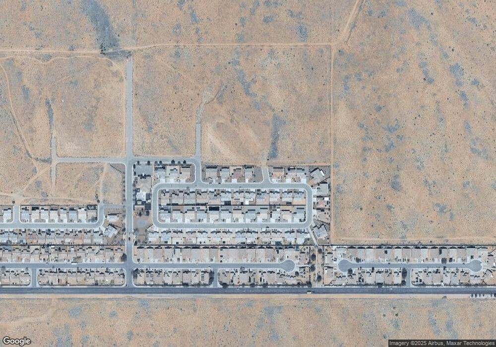
Map
Nearby Homes
- 3866 Heather Ave
- TBD Airway Ave
- 3674 Heather Ave
- 3612 Carolina Ave
- 3685 Plains Ave
- 3673 Plains Ave
- 3569 Heather Ave
- 4007 Monte Silvano Ave
- 4039 Roma Rd
- 3353 Bermuda St
- 3313 Charleston St
- 3663 Wheatland Ave
- 3637 Wheatland Ave
- 3649 Wheatland Ave
- 3672 Wheatland Ave
- 3650 Wheatland Ave
- 3633 Wheatland Ave
- 3646 Wheatland Ave
- 3668 Wheatland Ave
- 3656 Wheatland Ave
- 3824 Katie Lane Loop
- 3823 Katie Lane Loop
- 3826 Katie Lane Loop
- 3825 Katie Lane Loop
- 3793 Katie Lane Loop
- 3821 Katie Lane Loop
- 3820 Katie Lane Loop
- 3827 Katie Lane Loop
- 3819 Katie Lane Loop
- 3819 Katie Lane Loop
- 3828 Katie Lane Loop
- 3795 Katie Lane Loop
- 3795 Katie Lane Loop
- 3793 Katie Lane Loop
- 3818 Katie Lane Loop
- 3829 Katie Lane Loop
- 3797 Katie Lane Loop
- 3797 Katie Lane Loop
- 3791 Katie Lane Loop
- 3791 Katie Lane Loop