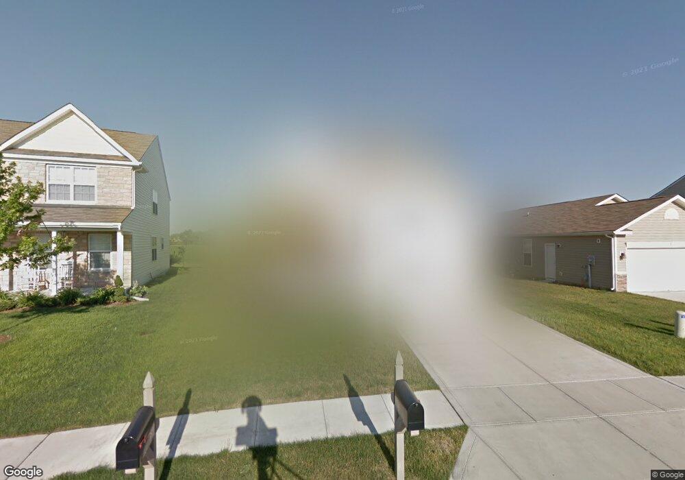
3824 Dusty Sands Rd Whitestown, IN 46075
Estimated Value: $340,000 - $360,000
4
Beds
3
Baths
2,442
Sq Ft
$142/Sq Ft
Est. Value
About This Home
This home is located at 3824 Dusty Sands Rd, Whitestown, IN 46075 and is currently estimated at $347,096, approximately $142 per square foot. 3824 Dusty Sands Rd is a home located in Boone County with nearby schools including Perry Worth Elementary School, Lebanon Middle School, and Lebanon Senior High School.
Ownership History
Date
Name
Owned For
Owner Type
Purchase Details
Closed on
Apr 28, 2010
Sold by
Beazer Homes Indiana Llp
Bought by
Ford Derrick Alden and Ford Sarah D
Current Estimated Value
Home Financials for this Owner
Home Financials are based on the most recent Mortgage that was taken out on this home.
Original Mortgage
$157,580
Outstanding Balance
$105,213
Interest Rate
5.05%
Mortgage Type
VA
Estimated Equity
$241,883
Create a Home Valuation Report for This Property
The Home Valuation Report is an in-depth analysis detailing your home's value as well as a comparison with similar homes in the area
Home Values in the Area
Average Home Value in this Area
Purchase History
| Date | Buyer | Sale Price | Title Company |
|---|---|---|---|
| Ford Derrick Alden | -- | -- |
Source: Public Records
Mortgage History
| Date | Status | Borrower | Loan Amount |
|---|---|---|---|
| Open | Ford Derrick Alden | $157,580 |
Source: Public Records
Tax History Compared to Growth
Tax History
| Year | Tax Paid | Tax Assessment Tax Assessment Total Assessment is a certain percentage of the fair market value that is determined by local assessors to be the total taxable value of land and additions on the property. | Land | Improvement |
|---|---|---|---|---|
| 2025 | $3,333 | $303,200 | $31,900 | $271,300 |
| 2024 | $3,333 | $290,300 | $31,900 | $258,400 |
| 2023 | $3,428 | $293,300 | $31,900 | $261,400 |
| 2022 | $3,224 | $261,800 | $31,900 | $229,900 |
| 2021 | $2,557 | $223,000 | $31,900 | $191,100 |
| 2020 | $2,464 | $213,100 | $31,900 | $181,200 |
| 2019 | $2,315 | $197,600 | $31,900 | $165,700 |
| 2018 | $2,108 | $181,700 | $31,900 | $149,800 |
| 2017 | $2,021 | $174,200 | $31,900 | $142,300 |
| 2016 | $2,024 | $173,000 | $31,900 | $141,100 |
| 2014 | $1,739 | $157,200 | $31,900 | $125,300 |
| 2013 | $1,607 | $150,200 | $31,900 | $118,300 |
Source: Public Records
Map
Nearby Homes
- 3902 Riverstone Dr
- 3888 Riverstone Dr
- 3784 Dusty Sands Rd
- 3922 Sterling Dr
- 2543 Lamar Dr
- 3830 Indigo Blue Blvd
- 3743 Indigo Blue Blvd
- 5925 Sterling Dr
- 3511 Firethorn Dr
- 3413 Roundlake Ln
- 6831 Orchard Run Cir
- 3421 Firethorn Dr
- 3391 Roundlake Ln
- 3610 Duncan Ct
- 3822 Limelight Ln
- 5678 Harper Dr
- Roxbury II Plan at Peabody Farms West - Peabody Farms West Cottage
- Ironwood Plan at Peabody Farms West - Peabody Farms West Venture
- Trenton II Plan at Peabody Farms West - Peabody Farms West Cottage
- Broadmoor Plan at Peabody Farms West - Peabody Farms West Venture
- 3816 Dusty Sands Rd
- 3832 Dusty Sands Rd
- 3814 Dusty Sands Rd
- 3838 Dusty Sands Rd
- 3806 Dusty Sands Rd
- 3827 Dusty Sands Rd
- 3821 Dusty Sands Rd
- 3842 Dusty Sands Rd
- 3817 Dusty Sands Rd
- 3835 Dusty Sands Rd
- 3809 Dusty Sands Rd
- 3848 Dusty Sands Rd
- 3803 Dusty Sands Rd
- 3845 Dusty Sands Rd
- 3798 Dusty Sands Rd
- 3854 Dusty Sands Rd
- 3796 Dusty Sands Rd
- 3851 Dusty Sands Rd
- 3856 Dusty Sands Rd
- 3789 Dusty Sands Rd