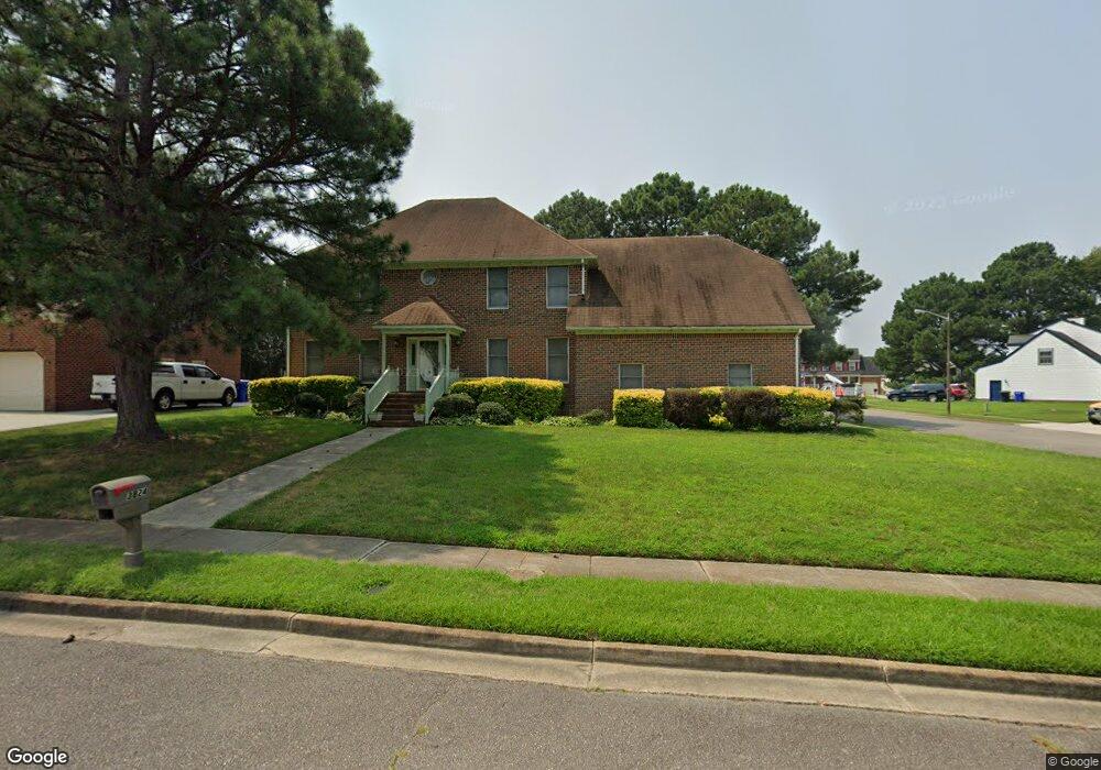
3824 Fleet Ct Portsmouth, VA 23703
Churchland NeighborhoodEstimated Value: $392,000 - $474,000
3
Beds
3
Baths
2,908
Sq Ft
$149/Sq Ft
Est. Value
About This Home
This home is located at 3824 Fleet Ct, Portsmouth, VA 23703 and is currently estimated at $433,763, approximately $149 per square foot. 3824 Fleet Ct is a home located in Portsmouth City with nearby schools including Churchland Primary/Intermediate School, Churchland Middle School, and Churchland High School.
Ownership History
Date
Name
Owned For
Owner Type
Purchase Details
Closed on
Nov 30, 2001
Sold by
Milton Melvin L
Bought by
Bennett Michael T
Current Estimated Value
Home Financials for this Owner
Home Financials are based on the most recent Mortgage that was taken out on this home.
Original Mortgage
$195,455
Outstanding Balance
$76,055
Interest Rate
6.66%
Estimated Equity
$357,708
Create a Home Valuation Report for This Property
The Home Valuation Report is an in-depth analysis detailing your home's value as well as a comparison with similar homes in the area
Home Values in the Area
Average Home Value in this Area
Purchase History
| Date | Buyer | Sale Price | Title Company |
|---|---|---|---|
| Bennett Michael T | $197,010 | -- |
Source: Public Records
Mortgage History
| Date | Status | Borrower | Loan Amount |
|---|---|---|---|
| Open | Bennett Michael T | $195,455 |
Source: Public Records
Tax History Compared to Growth
Tax History
| Year | Tax Paid | Tax Assessment Tax Assessment Total Assessment is a certain percentage of the fair market value that is determined by local assessors to be the total taxable value of land and additions on the property. | Land | Improvement |
|---|---|---|---|---|
| 2025 | $5,754 | $484,020 | $89,810 | $394,210 |
| 2024 | $5,754 | $453,930 | $89,810 | $364,120 |
| 2023 | $5,148 | $411,800 | $89,810 | $321,990 |
| 2022 | $5,275 | $405,780 | $89,810 | $315,970 |
| 2021 | $4,494 | $345,670 | $74,840 | $270,830 |
| 2020 | $4,330 | $333,080 | $71,280 | $261,800 |
| 2019 | $4,291 | $330,070 | $71,280 | $258,790 |
| 2018 | $4,291 | $330,070 | $71,280 | $258,790 |
| 2017 | $4,291 | $330,070 | $71,280 | $258,790 |
| 2016 | $4,135 | $318,040 | $71,280 | $246,760 |
| 2015 | $4,135 | $318,040 | $71,280 | $246,760 |
| 2014 | $4,039 | $318,040 | $71,280 | $246,760 |
Source: Public Records
Map
Nearby Homes
- 3866 Augustine Cir
- 4100 Mayfair Way
- 3860 Sugar Creek Cir
- 17 Shoal Ct
- 3818 Peach Orchard Cir
- 3877 Peachtree Ln W
- 8 Compass Ct
- 3913 Stateflower Ct
- 5807 Dunkin St
- 3817 Harvest Ct
- 4071 Long Point Blvd
- 3433 Willow Breeze Dr
- 3660B Towne Point Rd Unit A
- 3791 Towne Point Rd
- 4200 Quince Rd
- 6446 Olde Bullocks Cir
- 3616 Bowden St
- 6417 Pelican Crescent N
- 3715 Magnolia Dr
- 4224 Burnham Dr
- 3820 Fleet Ct
- 3841 Long Point Blvd
- 3825 Fleet Ct
- 4004 Breakwater Dr
- 3816 Fleet Ct
- 4000 Breakwater Dr
- 3821 Fleet Ct
- 4013 Breakwater Dr
- 3833 Long Point Blvd
- 4012 Breakwater Dr
- 13 Ballast Ct
- 3840 Long Point Blvd
- 3812 Fleet Ct
- 4008 Breakwater Dr
- 3836 Long Point Blvd
- 3829 Long Point Blvd
- 3905 Long Point Blvd
- 4016 Breakwater Dr
- 3900 Long Point Blvd
- 4017 Breakwater Dr