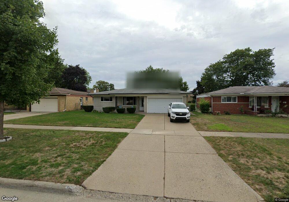
3826 Common Rd Unit Bldg-Unit Warren, MI 48092
Northwest Warren NeighborhoodEstimated Value: $270,041 - $289,000
3
Beds
2
Baths
1,500
Sq Ft
$188/Sq Ft
Est. Value
About This Home
This home is located at 3826 Common Rd Unit Bldg-Unit, Warren, MI 48092 and is currently estimated at $281,760, approximately $187 per square foot. 3826 Common Rd Unit Bldg-Unit is a home located in Macomb County with nearby schools including Lean Elementary School, Beer Middle School, and Warren Mott High School.
Ownership History
Date
Name
Owned For
Owner Type
Purchase Details
Closed on
Jul 12, 2022
Sold by
Pearce Jason P
Bought by
Pearce Jason P and Jason P Pearce Trust
Current Estimated Value
Purchase Details
Closed on
Feb 28, 2018
Sold by
Burnett Theresa and Burnett Dean
Bought by
Pearce Jason P
Home Financials for this Owner
Home Financials are based on the most recent Mortgage that was taken out on this home.
Original Mortgage
$160,535
Interest Rate
4.15%
Mortgage Type
New Conventional
Create a Home Valuation Report for This Property
The Home Valuation Report is an in-depth analysis detailing your home's value as well as a comparison with similar homes in the area
Home Values in the Area
Average Home Value in this Area
Purchase History
| Date | Buyer | Sale Price | Title Company |
|---|---|---|---|
| Pearce Jason P | -- | Land Title | |
| Pearce Jason P | $165,500 | First American Mortgage Solu |
Source: Public Records
Mortgage History
| Date | Status | Borrower | Loan Amount |
|---|---|---|---|
| Previous Owner | Pearce Jason P | $160,535 |
Source: Public Records
Tax History
| Year | Tax Paid | Tax Assessment Tax Assessment Total Assessment is a certain percentage of the fair market value that is determined by local assessors to be the total taxable value of land and additions on the property. | Land | Improvement |
|---|---|---|---|---|
| 2025 | $4,668 | $125,860 | $0 | $0 |
| 2024 | $46 | $120,080 | $0 | $0 |
| 2023 | $4,330 | $105,810 | $0 | $0 |
| 2022 | $4,183 | $92,640 | $0 | $0 |
| 2021 | $4,257 | $87,610 | $0 | $0 |
| 2020 | $4,105 | $82,130 | $0 | $0 |
| 2019 | $3,957 | $74,410 | $0 | $0 |
| 2018 | $0 | $66,510 | $0 | $0 |
| 2017 | $2,748 | $61,020 | $10,130 | $50,890 |
| 2016 | $2,746 | $61,020 | $0 | $0 |
| 2015 | -- | $54,320 | $0 | $0 |
| 2013 | $7,728 | $47,220 | $0 | $0 |
Source: Public Records
Map
Nearby Homes
- 3420 Kevin Cir
- 3858 Hughes Dr
- 29542 van Laan Dr
- 29434 Walker Dr
- 3606 Winterfield Dr
- 29229 van Laan Dr
- 29327 Orvylle Dr
- 29900 N Grand Oaks Dr
- 29713 Mackenzie Cir W
- 4832 Muriel Dr
- 30802 Dell Ln
- 30424 Kelsey Dr
- 4829 Wolgast Dr
- 2338 Walter Ave
- 30987 Boewe Dr
- 28530 Ryan Rd
- 29424 Woodpark Cir
- 29412 Woodpark Cir
- 4926 E 12 Mile Rd
- 4611 E 13 Mile Rd
Your Personal Tour Guide
Ask me questions while you tour the home.